Santa Barbara faces south. The coast here runs east to west, and the town looks out across the channel toward the islands, not toward the open Pacific. So the sun does not simply drop into the sea in front of you, as it does in most of California. It moves.
From roughly October to March, it sets in the southwest, over open water, and the classic sunset is easy to find. In summer it goes down far to the northwest, behind the hills and headlands west of town, and the show is in the sky and on the water rather than at the horizon. Late spring and early summer bring the marine layer, which can erase a sunset entirely. Choose the spot to suit the season.
Butterfly Beach
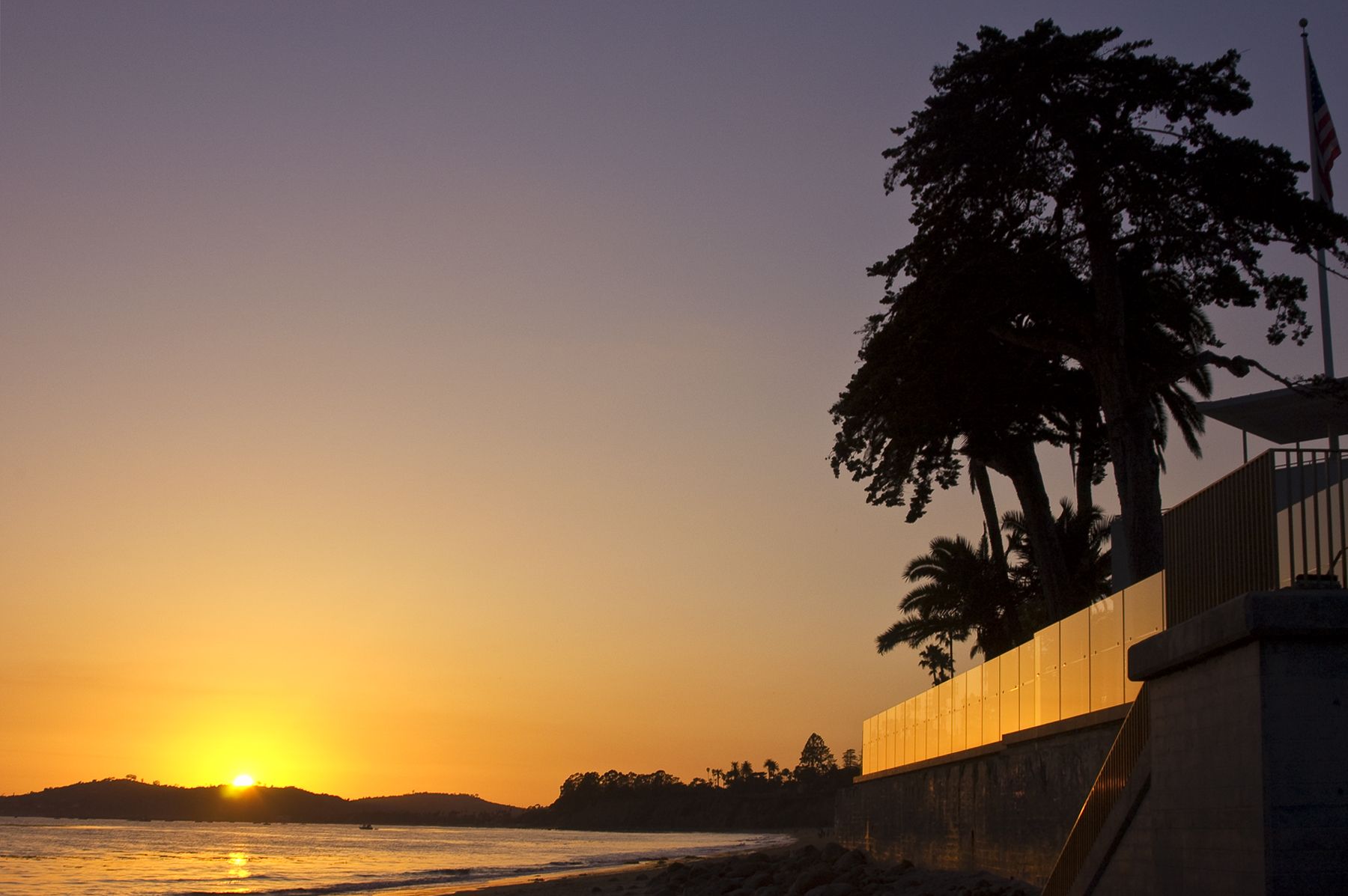
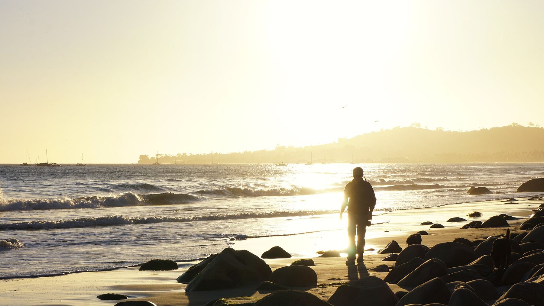
In Montecito, below the seawall on Channel Drive, Butterfly Beach faces more nearly west than almost anywhere else on this stretch of coast, which is exactly why it is the most famous sunset beach in the area. In the cooler months the sun sets over the water straight ahead, with the long curve of the coast and the Mesa off to the right. People sit on the wall, walk down the steps to the sand, or simply stand along the road. At high tide there is little or no beach, so check the tide if you want to sit on the sand. The few parking spaces along Channel Drive fill well before the sun goes down.
Shoreline Park
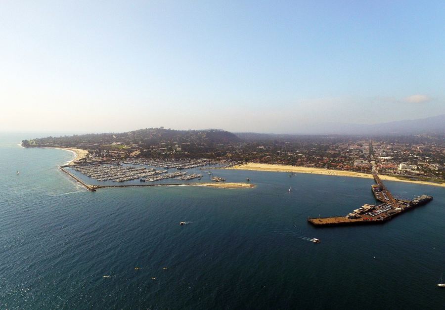
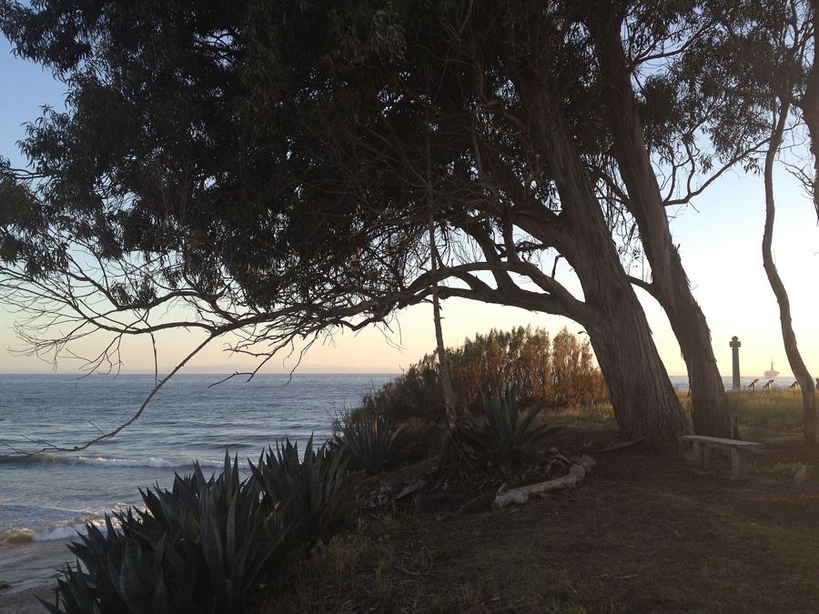
On the bluff above Leadbetter Beach, Shoreline Park is a long strip of lawn, benches and cypress along Shoreline Drive with the whole channel spread below it. To the east you look down on the harbor and the city; to the south, the islands. In winter the sun sets off to the southwest over the water, and the light catches the boats and the breakwater on its way down. Families stay after the playground empties, and dog walkers keep moving along the railing. It is the easiest big-view sunset in town: a parking lot, a lawn and a bench, no climbing needed. Stairs lead down to the beach from the park.
The end of Stearns Wharf
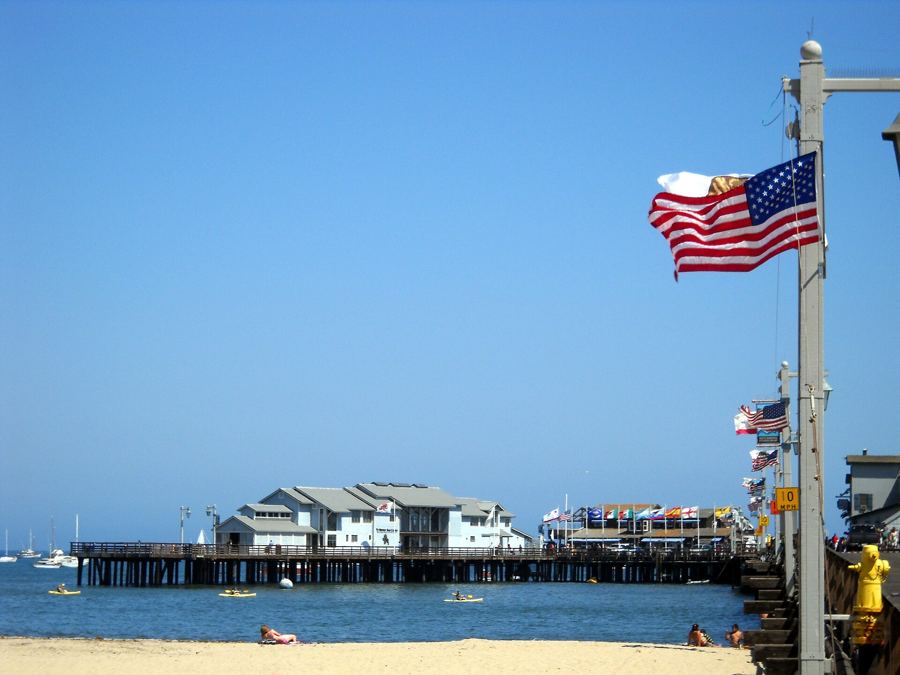
Walk out to the end of Stearns Wharf and you are standing over the water with the sea on three sides. In the winter months the sun sets toward the Mesa and the open channel beyond, and the pelicans on the rail turn into black cutouts against it. Turn around as it goes and you get the other half of the show: the town and the mountains behind it lit pink and gold. The wharf is busy at this hour on weekends; on a weekday evening in January it can feel almost empty.
The harbor breakwater
From the end of the harbor's breakwater, the sun goes down over Leadbetter Beach and the bluffs of the Mesa, with masts in the foreground and the sound of halyards slapping in the wind. It is a working view rather than a pretty one, which is its appeal: fishing boats coming in, sea lions settling on the floats, the lights of the harbor coming on behind you. The walk out along the wall takes about fifteen minutes. Come back while there is still light, and keep away from the seaward edge if the surf is up. There is more on the walk itself in our piece on the harbor.
 Also on Presidio PostEvery beach, compared
The Douglas Family Preserve
On top of the Mesa, above Arroyo Burro Beach, the Douglas Family Preserve is a wide, open headland of grass and trees with the ocean on one side and the beach far below. The land, once known as the Wilcox property, was saved from development in the 1990s and named for the family of the actor Michael Douglas, who helped pay for it. Paths wander to the cliff edge, where you look down on Hendry's and west along the coast toward Hope Ranch. It is a favorite with dog walkers at the end of the day. Stay well back from the edge, which is soft and crumbling.
Arroyo Burro (Hendry's)
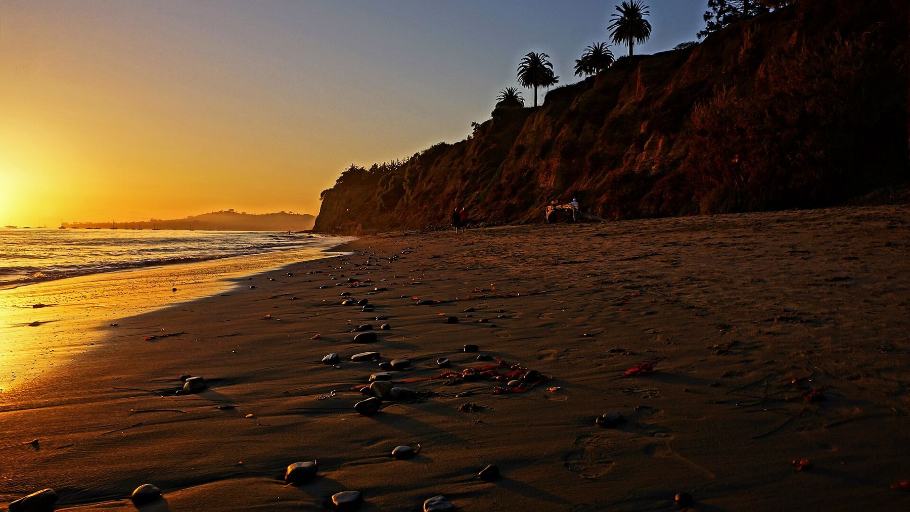
Hendry's is the sunset beach that locals use. In the evening the parking lot fills with people who have come straight from work, and the sand fills with dogs, surfers coming in and families walking west toward the cliffs of Hope Ranch. In the cooler months the sun sets over the sea beyond the point; in summer it goes behind the headland, and the cliffs to the east turn gold instead. There is a restaurant by the lot for anyone who would rather watch through a window. Arrive early; the lot is small for the crowd it draws.
Elings Park
For a view down over everything, climb. Elings Park spreads over the hills between the Mesa and the Las Positas valley, and its trails climb to grassy ridgetops looking over the city, the harbor, the Mesa and out across the channel to the islands. At sunset the whole coast lies below you, with the city lights starting to come on. The climb is short but steep in places. Check the park's closing time before you go, since it can come soon after the sun goes down, and bring a light for the walk back.
Coal Oil Point and the Ellwood bluffs
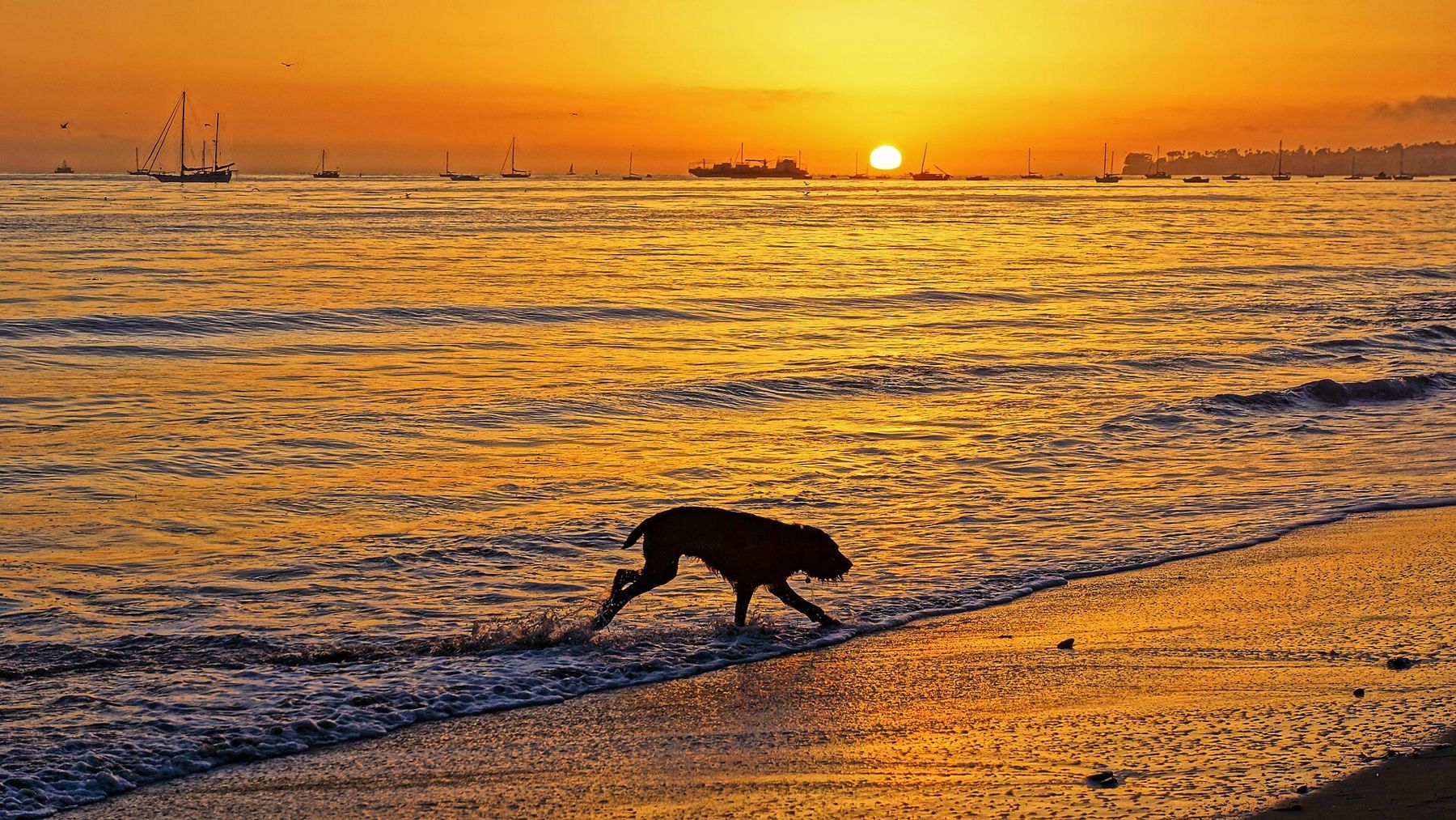
West of town in Goleta, the coast bends and the sunset lines up with it. From the sand at Coal Oil Point and the bluffs of Ellwood Mesa, the sun sets out along the coastline toward Gaviota in spring and fall and over the water in winter. Low tide leaves the sand at Sands Beach wet and shining, and it holds the color of the sky after the sun has gone. It is a good place to see the green flash, the brief green spark that sometimes shows at the top of the sun as it disappears behind a clear, flat horizon. Few people see it. Fewer still have the patience to wait for it twice.
After the sun
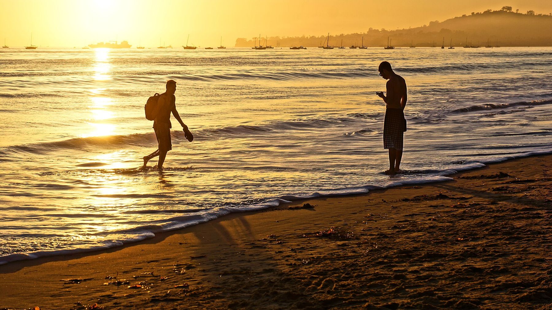
Whatever spot you choose, do not leave the moment the sun goes. The best color often comes ten or fifteen minutes later, when the clouds over the channel turn pink and orange and the Santa Ynez Mountains catch the last of the light. Turn around and look inland: on a clear winter evening the whole ridge above town glows for a few minutes, then fades to blue, and the lights of the city come on below it.