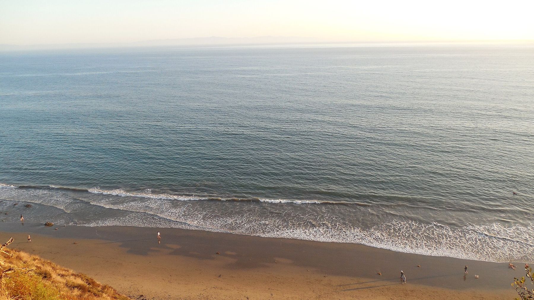
The beaches here face south, and that surprises people. From Point Conception east to Rincon the coast runs nearly east to west, and the Channel Islands stand offshore, blocking much of the open-ocean swell, so the waves that pound most of California arrive here filtered and softened. The water is cooler than visitors expect and clearer than it looks in photographs. The sand comes and goes with the seasons, stripped away by winter storms and carried back by the gentler waves of summer.
That is the common ground. After it, every beach is different. Some are for children, some for dogs, some for surfers, some for a long walk at low tide and nothing else. Here they are, from the middle of town outward, for what each is good at.
Leadbetter Beach
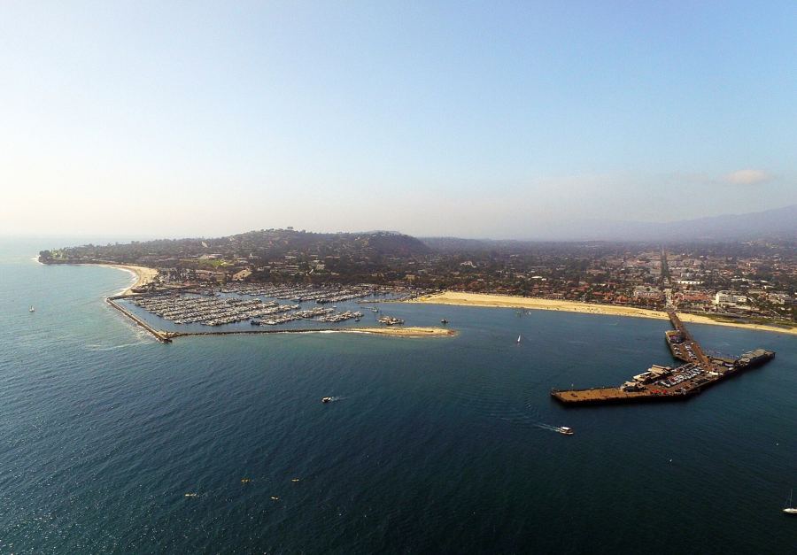
West of the harbor and below the lawns of Shoreline Park, Leadbetter is the town's most sheltered beach, and it exists because the harbor breakwater trapped the sand that built it. Santa Barbara Point curls round its western end and bends the waves, so they usually arrive small and slow. That is why surf lessons gather here and why parents relax. Kayaks and paddleboards launch from the sand, families picnic on the grass, and a large paid lot sits right behind the beach (rates change). In a good winter swell, the point at the western end becomes a proper surf break. Best for small children, a first lesson on a board, and a swim without drama.
West Beach
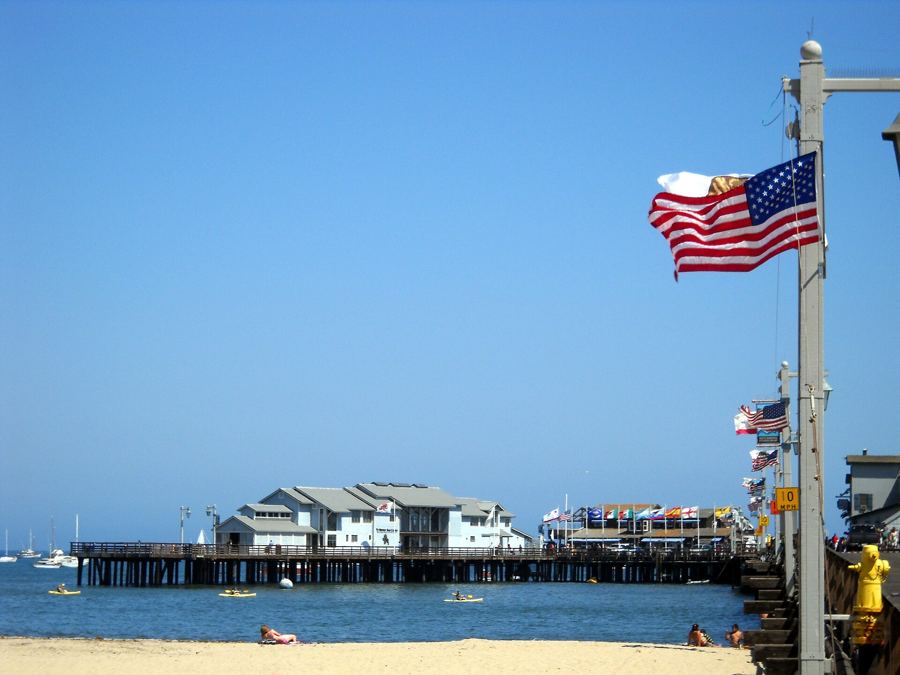
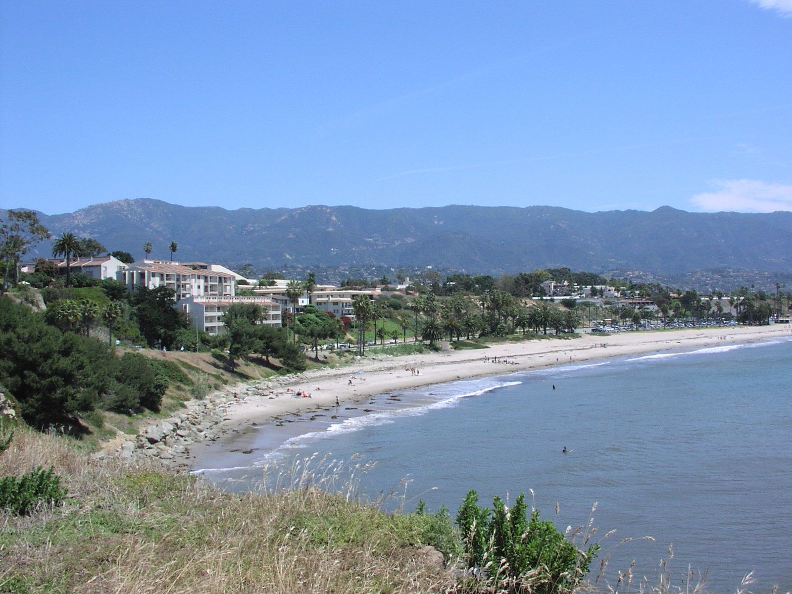
Between the harbor and Stearns Wharf, West Beach is a modest strip of sand facing calm water in the lee of the breakwater. Outrigger paddlers, rowers and kayakers launch from it, and it is less a beach for lying on than a beach for getting onto the water. Its great advantage is position: it is a short walk from the wharf, the harbor, the hotels of Cabrillo Boulevard and the bike path. Mission Creek reaches the sea near its eastern end, and after rain the water by any creek mouth is the first to be posted with warnings. Best for launching something, and for a quick look at the sea between other plans.
East Beach
East of the wharf, the sand widens into East Beach, the city's big, flat, public beach, running for more than a mile toward the Andrée Clark Bird Refuge. It has rows of volleyball courts, a long strip of grass and palms behind the sand, the Spanish-style Cabrillo Bathhouse, and the beach path running its whole length. On Sundays, artists set up along Cabrillo Boulevard for an arts and crafts show that has been running since the 1960s. The waves are usually modest, the slope gentle. Best for room to spread out, beach volleyball, and a long flat walk with the mountains in view the whole way.
Butterfly Beach
Across the line in Montecito, Butterfly Beach lies below a low seawall on Channel Drive, across the road from the Biltmore, which opened as a hotel in 1927. It is small: sandy at low tide, and at high tide reduced to almost nothing as the water runs up to the wall. Its fame comes from its angle. It faces more nearly west than most beaches here, so in the cooler months the sun goes down over the water straight in front of you. Steps lead down from the walkway. Parking is a line of spaces along Channel Drive, and they fill before sunset. Best for the end of the day, and a walk into Montecito afterward.
Arroyo Burro (Hendry's)
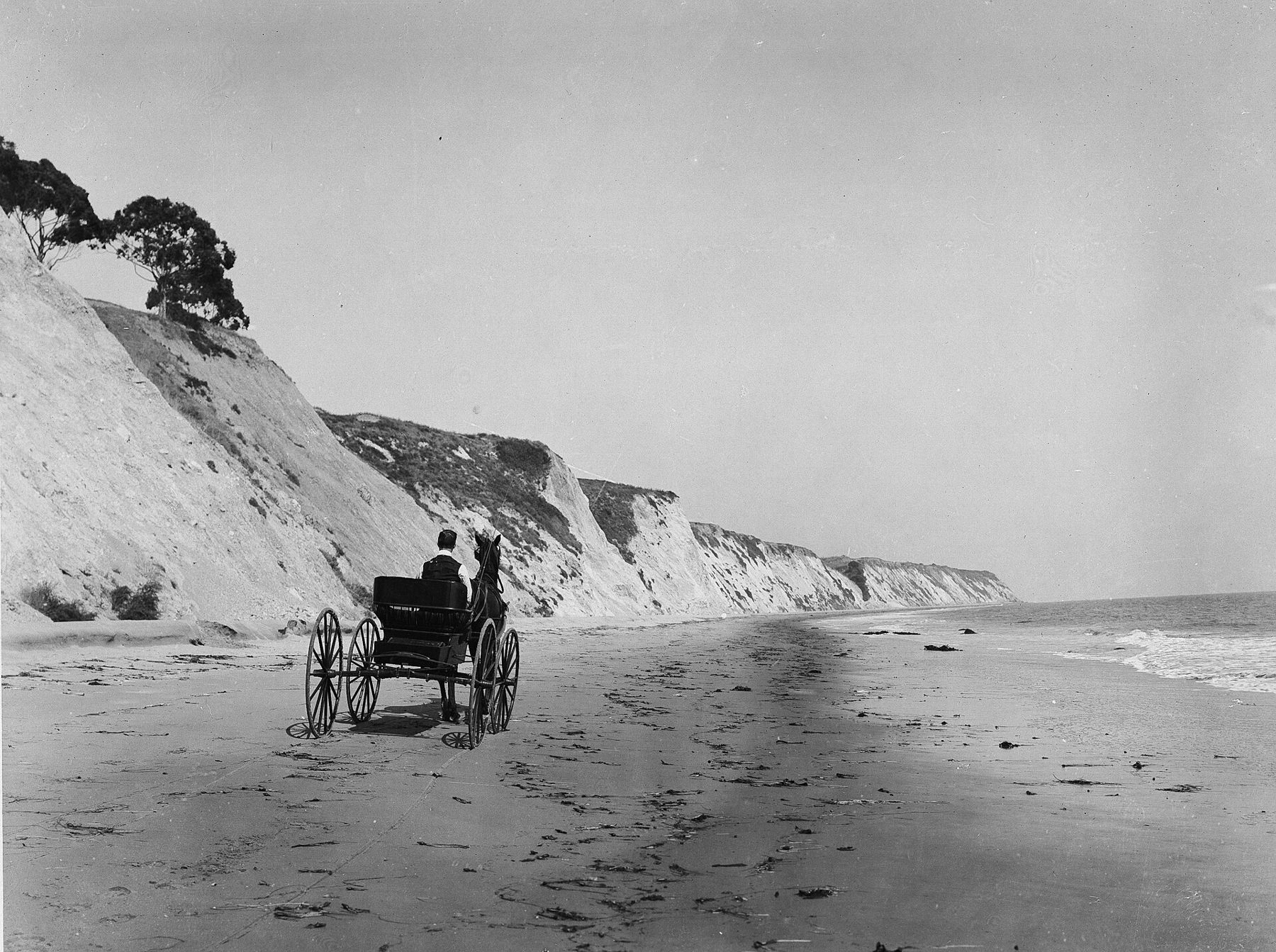
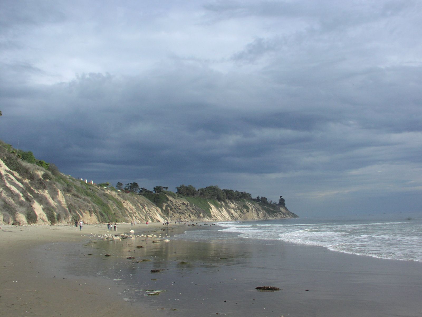
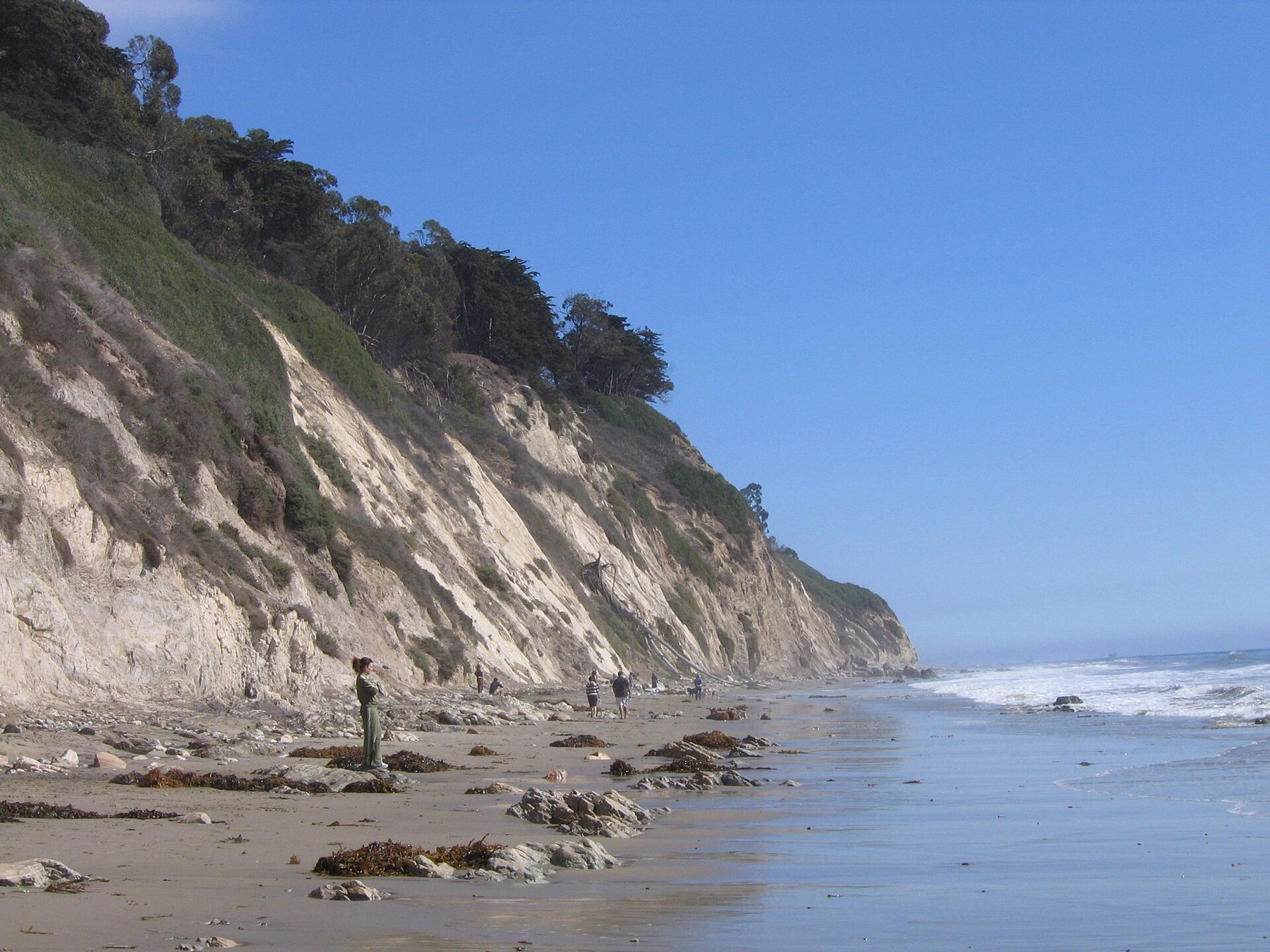
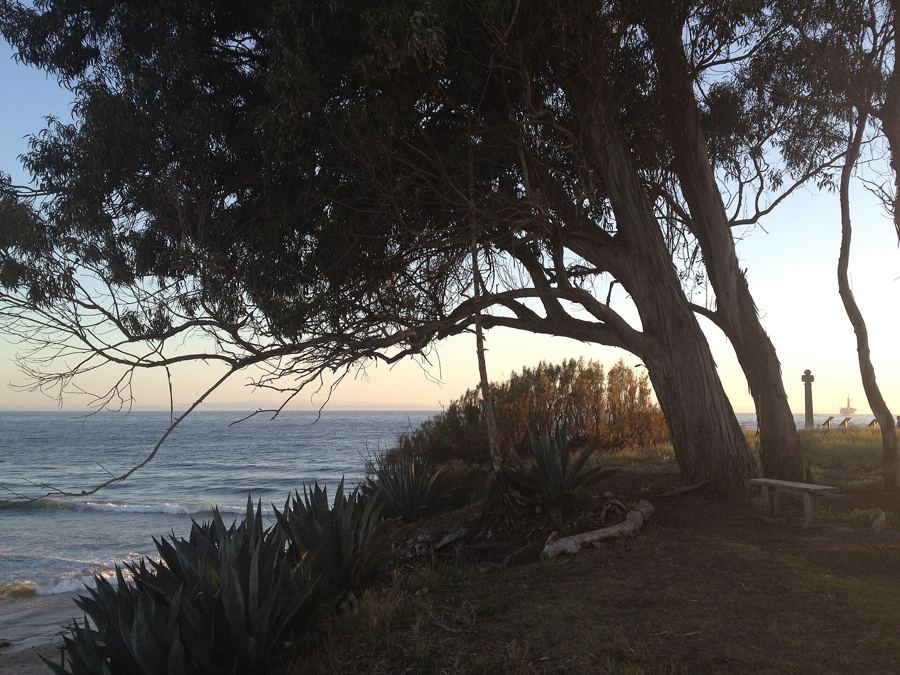
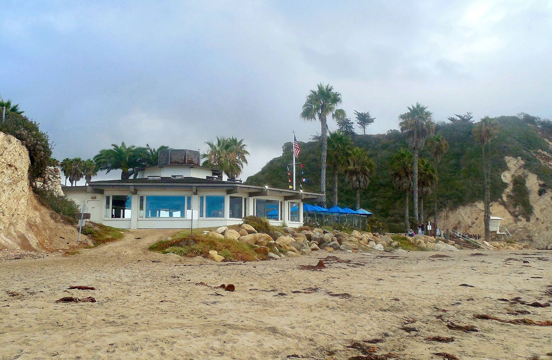
Everyone calls it Hendry's. Arroyo Burro is a county beach park where Arroyo Burro Creek meets the sea west of the Mesa, with a restaurant by the parking lot, a patch of lawn, and tall, crumbling cliffs running east. It is the town's dog beach: dogs have long been allowed off leash on the stretch east of the creek mouth, but the rules are set by the city and can change, so read the signs. At low tide you can walk east for well over a mile below the cliffs. Do not sit at their foot; they shed rock. Best for dogs, sunset, and a long walk on a falling tide.
 Also on Presidio PostWhere to find tide pools
Mesa Lane
At the end of Mesa Lane, in the quiet streets of the Mesa, a long wooden staircase drops down the face of the bluff to a narrow beach that the neighborhood's surfers treat as their own. There is little sand at high tide and plenty at low, when the beach links west toward Hendry's and east toward the Thousand Steps. The stairs are the attraction: a few minutes going down, and then the cliffs close around you and the city is gone. Check the tide before walking far; the rising water reaches the cliff foot in places and can cut you off. Parking is on residential streets. Best for a low-tide walk and watching surfers.
Summerland
East of Montecito, the small town of Summerland sits above the freeway with its beach below. Lookout Park, on the bluff, has lawns, picnic tables and a path down to the sand. The beach is long and quiet, good for walking east toward Loon Point. Summerland has an odd claim to fame: in the 1890s, oil men here built wooden piers out into the surf and drilled from them, the first offshore oil wells in the world. The derricks are long gone, but tar still turns up on the sand, as it does along much of this coast. Best for a picnic on the bluff and an easy walk.
Loon Point
Loon Point is the low headland east of Summerland, reached by a short path from a small roadside lot or along the sand from Lookout Park. It is a walking beach more than a swimming one, with cobbles at the point, reefs uncovered at low tide and very few people on a weekday morning. At high tide the way around the point is cut off, and on the biggest tides the beach nearly disappears. Come on a falling tide, walk toward Summerland, and turn back before the water does. Best for solitude, and for a walk that feels farther from town than it is.
Carpinteria State Beach
Carpinteria, about a dozen miles east, has long called its beach the world's safest, on the strength of an offshore reef that breaks up the swell before it reaches shore. The waves are usually gentle and the slope shallow, which makes it a classic family beach. The town's name comes from Spanish soldiers of 1769, who watched the Chumash building plank canoes here and called the place the carpentry shop. The state beach has a large campground, booked well ahead. East of the town, a harbor seal rookery closes its stretch of beach to people through the winter and spring pupping season; watch from the bluff above.
Goleta Beach
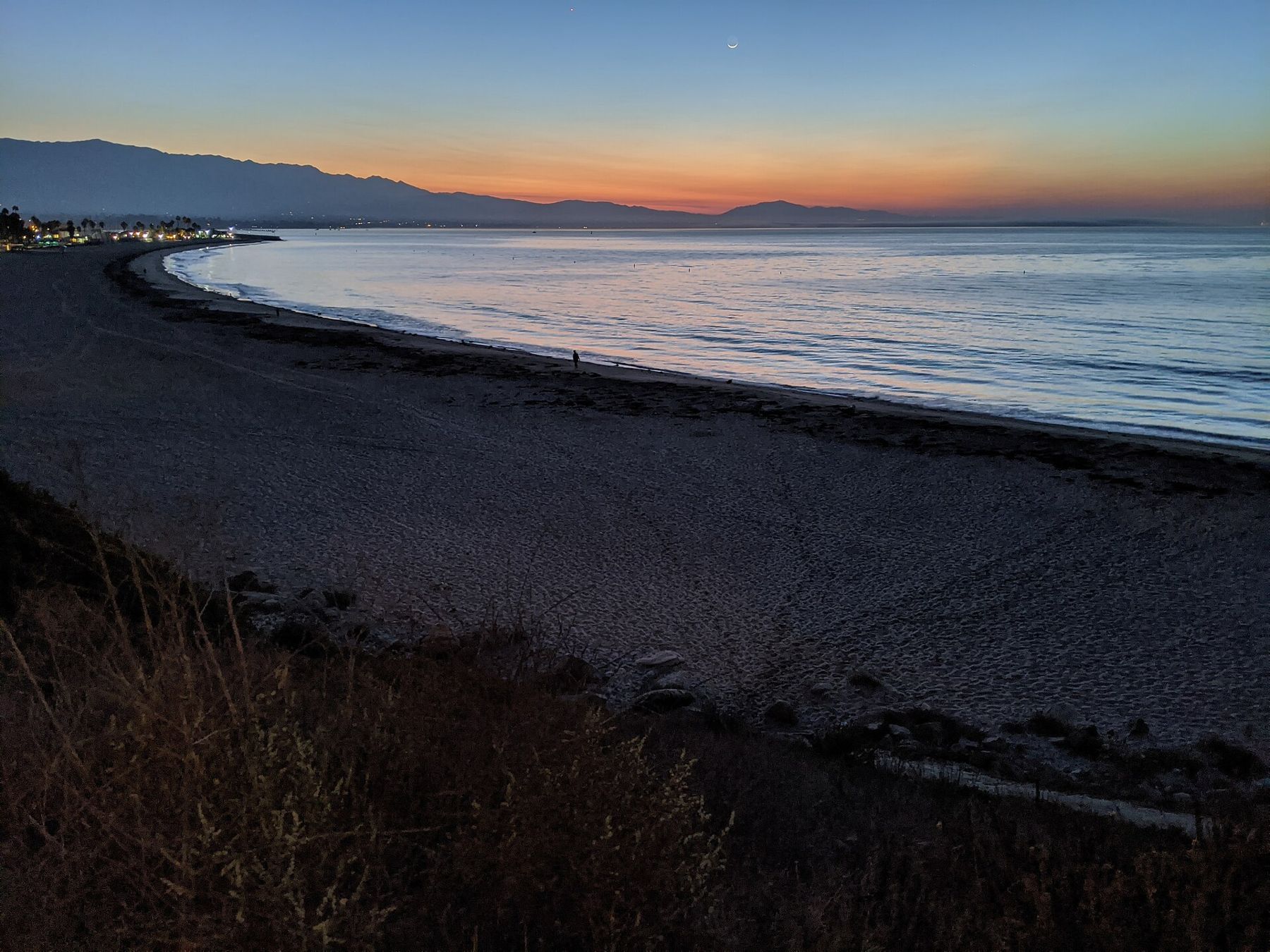
Goleta Beach County Park sits beside the university campus at the mouth of the Goleta Slough: a long, flat strip of sand with a fishing pier, wide lawns and picnic tables under the trees. It is where Goleta families hold birthday parties and where students drift down at sunset. The water is calm, the pier makes an easy stroll, and the airport next door adds the occasional low jet. Winter storms have chewed at this beach for years, and the sand and the lawn change shape from season to season. Best for a picnic with grass under you, a calm swim, and a walk out over the water.
El Capitán and Refugio
About twenty miles west of town, where the Gaviota coast begins, two state beaches sit at creek mouths below the highway. El Capitán has a sandy cove beneath its point, with sycamores and oaks along the creek. Refugio is a small curve of sand fringed with palm trees, an unusual sight on this coast, with a campground behind it. A paved path runs along the bluffs between the two, flat enough for children on bikes. Both are about camping as much as swimming, and both reward a day of going nowhere. Best for a night under the stars, and the start of the Gaviota coast.