The first thing Montecito shows you is a hedge. It runs along the lane at head height or higher, clipped flat, dark green, unbroken except where a gate interrupts it. Then another hedge, and a stone wall, and a row of old oaks leaning over the road. Montecito is a place built to be looked away from. Its houses face inward, toward gardens, or outward, toward the sea, but rarely toward the street.
For anyone visiting, that sounds like a reason to skip it. It is not. The community east of Santa Barbara has two small villages worth a walk, a beach that faces the sunset, trails that climb straight from its back lanes into the mountains, and two of the finest gardens in California, both open to visitors who plan ahead. It also has a recent history that deserves to be understood plainly.
Montecito is a place built to be looked away from.
Two villages
Montecito is not a city. It is an unincorporated part of Santa Barbara County, spread across the slope between the Santa Ynez Mountains and the sea, and it has no single centre. It has two.
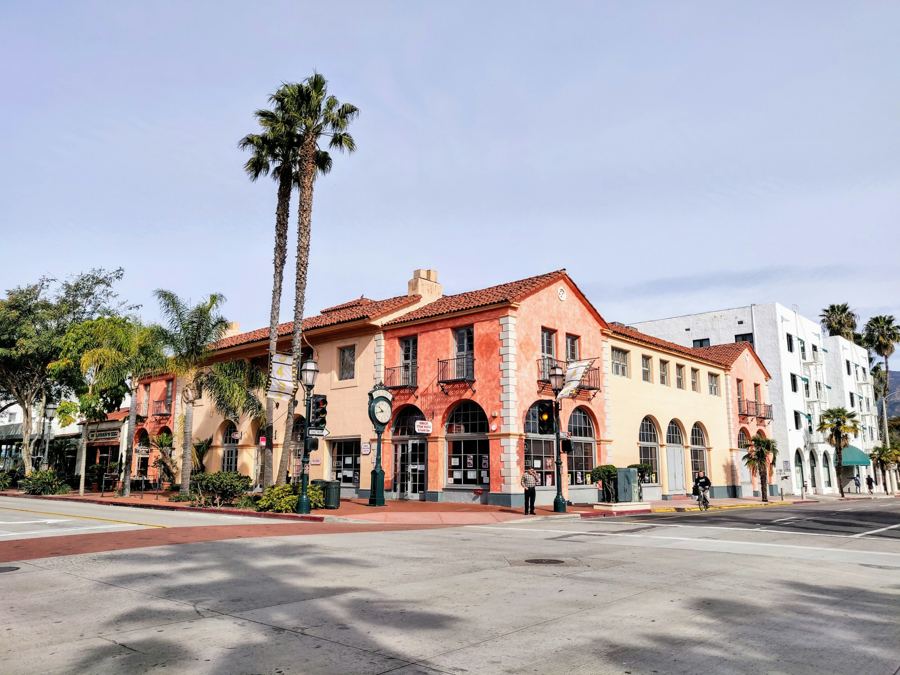
The lower one is Coast Village Road, which runs along the inland side of Highway 101 at Montecito's western edge. It is the more public of the two: a single street of restaurants, cafés, a few shops and small hotels, with outdoor tables under awnings and a steady traffic of people who have walked up from the beach. The mountains stand over the end of it.
From the eastern end of Coast Village Road, Olive Mill Road passes under the freeway and comes out at the sea, at the corner where Channel Drive begins. It is the easiest way to join the village to the beach on foot: a few minutes from a café table to the sand.
The Upper Village sits further inland, around the meeting of San Ysidro Road and East Valley Road. It is smaller and quieter, a cluster of low buildings with a market, a few shops and cafés, and the feeling of a place where people do errands rather than spend afternoons. Between the two villages, roads wind through the estates, many of them without sidewalks or streetlights. That is deliberate. Montecito has long resisted the trappings of a suburb, and the lanes still feel half rural.
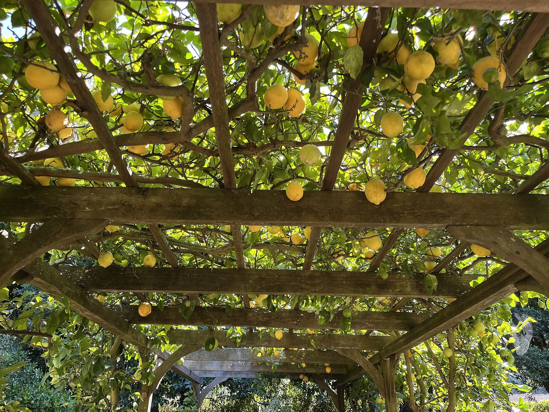
Gardens behind the hedges
Montecito's great estates were laid out from the late nineteenth century on, as wealthy families from the East and Midwest came west for the winter and stayed. Most of their houses remain private. Two of the best, though, can be visited, and both repay the effort of booking ahead.
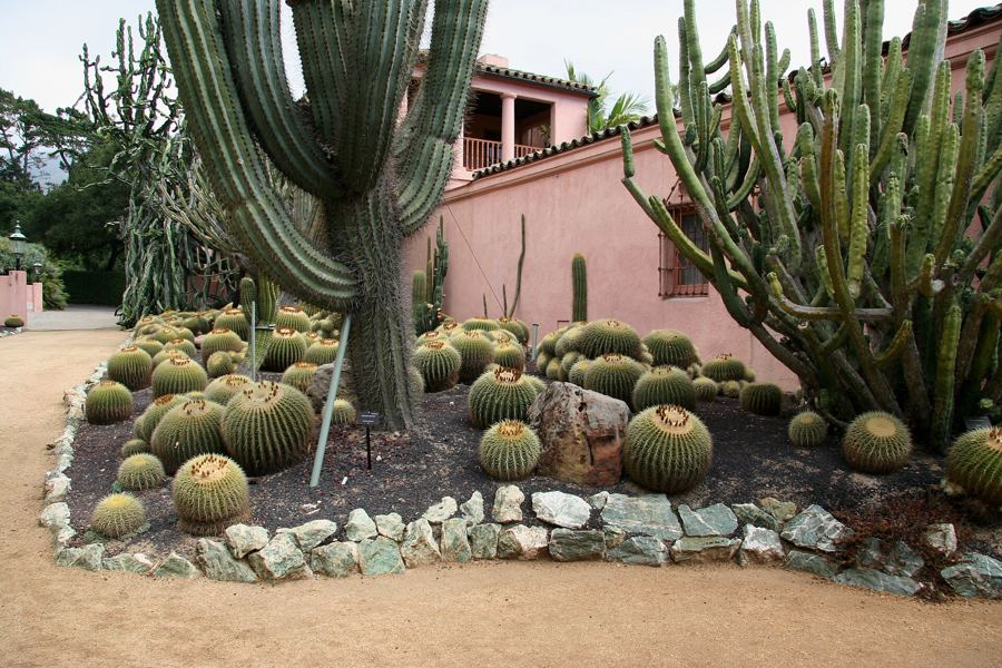
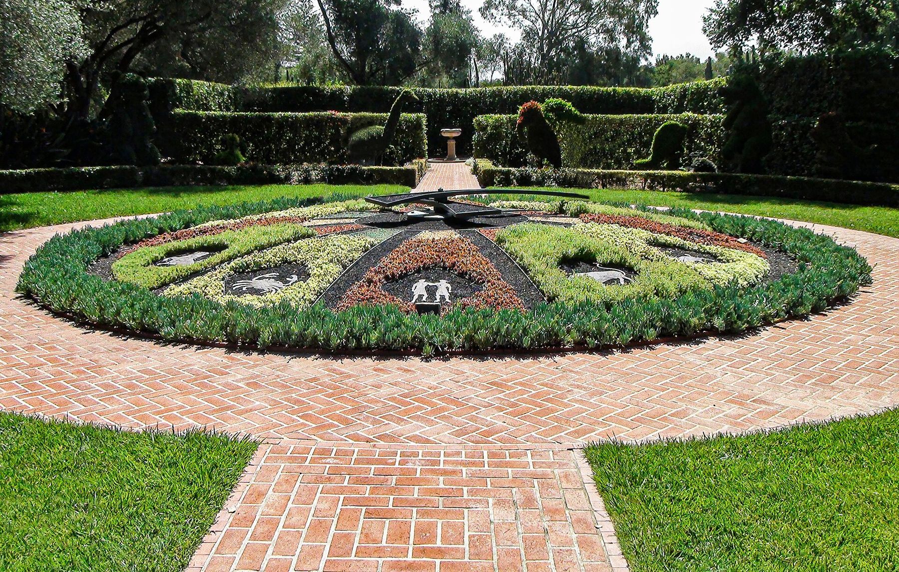
The first is Lotusland, the garden made by the Polish-born opera singer Ganna Walska from 1941 until her death in 1984. It is a botanical collection on the scale of an estate and a piece of theatre at the same time: a blue garden, a garden of cacti in sculptural ranks, a topiary garden with a working floral clock, a Japanese garden, a water garden of lotus. Visits are by advance reservation only, and the season and schedule change.
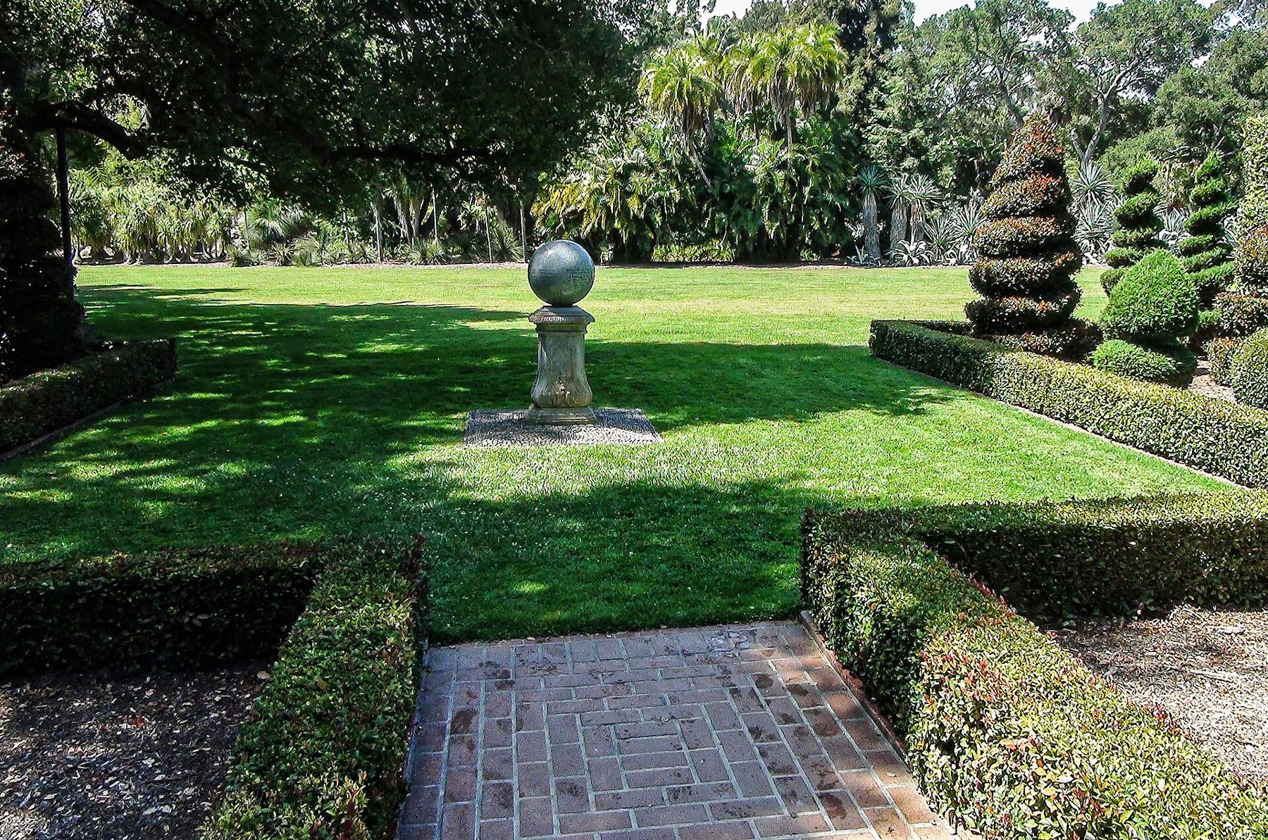
Many of these gardens were shaped by the same small circle of designers working in Santa Barbara between the wars, among them the landscape architects Lockwood de Forest Jr. and Ralph Stevens, who understood how little water this coast gets in summer and how much light. Their work set a local style: terraces, long axial views toward the mountains or the sea, olive and oak trees left in place, and Mediterranean plants used where an eastern garden would have used lawn. Driving the lanes, you catch glimpses of it through gates.
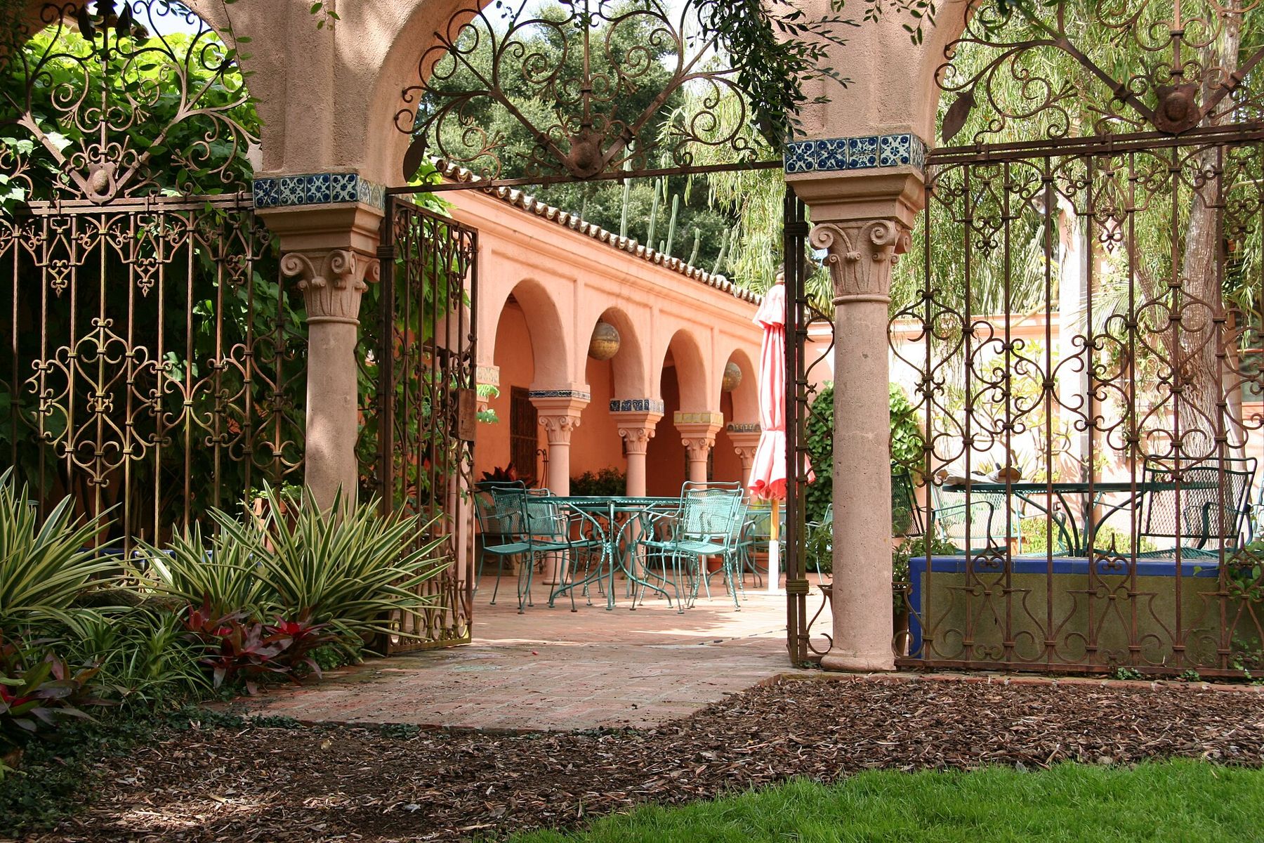
The second is Casa del Herrero, the House of the Blacksmith, completed in 1925 for George Fox Steedman to designs by George Washington Smith, the architect most responsible for the Spanish Colonial Revival style that shaped Santa Barbara. The house and its gardens survive with remarkable completeness, down to the tiles and ironwork, and the estate is a National Historic Landmark. Tours are by reservation and run on a schedule that changes, so check before going.
 Also on Presidio PostCarpinteria, the world's safest beach
The beach below the Biltmore
Butterfly Beach is Montecito's public front step. It runs along Channel Drive below a low sea wall, across the road from the Biltmore hotel, which Reginald Johnson designed and which opened in 1927. Stairs drop from the wall to the sand.
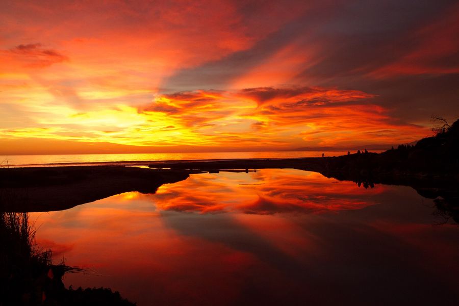
The beach is unusual on this coast for facing south and west across the water, so the sun sets over the sea rather than behind a headland. In the hour before dusk, people line the wall to watch it, with the hotel's tile roofs going pink behind them. The sand is narrow and the tide decides how much of it there is; at high water, with any swell, waves wash against the wall. Parking along Channel Drive is limited, and on a fine evening the spaces go early. Our sunset spots story sets it beside the city's other west-facing places.
The Biltmore and its neighbour up the hill, San Ysidro Ranch, are both part of the long history of Montecito hospitality, and both appear in our story on hotels with a history.
January 9, 2018
The Thomas Fire began in Ventura County in early December 2017 and burned westward through the hills for weeks, into the mountains above Montecito. By the time it was contained it had become the largest wildfire in California's recorded history up to that time. It left the steep slopes above the town bare of the brush that normally holds the soil in place.
In the early hours of January 9, 2018, a band of intense rain crossed those slopes. In a few minutes, more rain fell than the burned ground could take. Water, mud, boulders and trees came down the creek channels, Montecito Creek, San Ysidro Creek, Romero Creek and others, and spread out across the neighbourhoods below in the dark.
Twenty-three people died. Two of them were never found. More than a hundred homes were destroyed and hundreds more were damaged. Highway 101, the main road between Santa Barbara and Los Angeles, was buried under mud and water and closed for close to two weeks.
Recovery took years and in some places is still under way. Houses were rebuilt, creeks were cleared, and the county enlarged the debris basins that catch material coming down the canyons. Evacuation warnings are now issued with more caution when heavy rain threatens recently burned slopes. Anyone visiting in winter should pay attention to them; when local authorities call for people to leave an area, the reason is this.
Some reminders are visible to anyone driving through: empty lots where houses stood, new houses where old ones were lost, creek channels cleared wide. Montecito does not make a show of its loss. The quiet is part of the memorial.

For a visitor, the respectful way to see Montecito is slowly. Drive or cycle the lanes, keep to the roads, and look at what the gates allow. East Valley Road and Sycamore Canyon Road wind past stone walls and oaks; Hot Springs Road climbs toward the mountains. The houses are private, and the people who live in them would like it to stay that way.
The trails above town
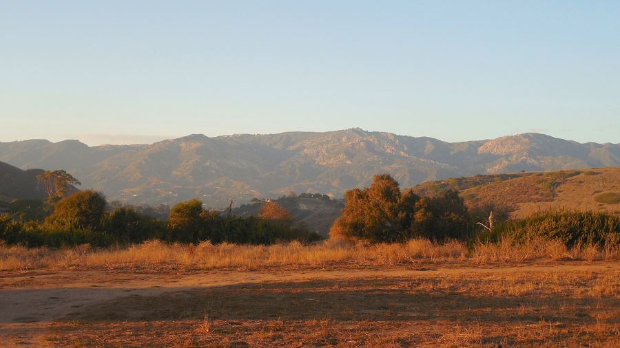
The other reason to come to Montecito is to leave it, upward. Several of the best-known front-country trails start at the top of residential lanes here, at the edge of the hedges where the chaparral begins. San Ysidro, Hot Springs, Cold Spring and Romero Canyon trails all climb from Montecito into the Santa Ynez Mountains, and each has its own character: a creek and oak shade low down, then switchbacks across open slopes with the coast spreading out below.
The Hot Springs trail passes the ruins of a resort that once stood at the springs. The Cold Spring trail climbs toward Montecito Peak, a steep climb with one of the great views of the coast at the top. Several of these trails were damaged by the fire and the flow and have been repaired since; conditions and closures change, especially after storms. Start early, carry water, and see our guide to front-country hikes for more detail.
Come down in the afternoon, cross under the freeway to Butterfly Beach, and sit on the wall. The mountain you climbed is behind you, turning orange in the last light.