Twice a day the sea pulls back from the reefs along this coast, and a few times each month it pulls back far enough to matter. On those minus tides, flat benches of rock that spend most of their lives underwater lie open to the air: pools crowded with green anemones, mussel beds ticking in the sun, purple urchins tucked into hollows they have ground for themselves.
Tide pooling here is a matter of timing more than place. Get the tide right and a dozen spots work. Get it wrong and there is nothing to see but surf. Here is how to read the tide, the best reefs, and what to know before stepping out onto the rock.
Reading the tide
A tide table lists each day's highs and lows against a baseline of zero. The tides worth planning around are minus tides, when the low falls below that line; the lower the number, the more reef comes out. On this coast the best of them cluster around the new and full moons. In winter the deepest lows fall in the afternoon and toward dusk; in spring and summer they come in the early morning, sometimes before sunrise. Arrive an hour or so before low water and leave as it turns. Check the swell as well as the tide. A big swell on a low tide can still send waves across the reef, and a calm sea makes even a modest low worth the trip.
Carpinteria Reef
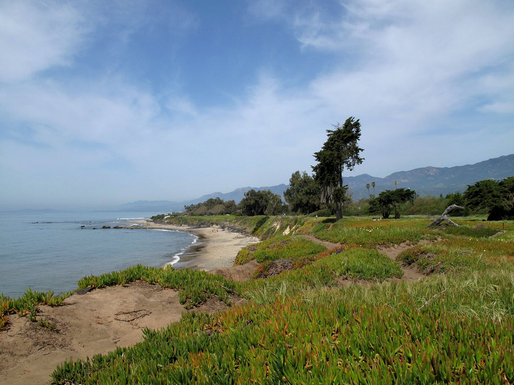
At the east end of Carpinteria State Beach, past the campground and below the bluffs near Tar Pits Park, a broad, flat reef runs out from the sand. On a minus tide it is the best tide-pooling in the area for families: level rock, shallow pools and plenty to find, including anemones, sea hares, chitons, hermit crabs and small fish darting under ledges. The tar here is natural, oozing from seeps in the cliff and the seabed, and the Chumash used it to seal their plank canoes. It will also seal your shoes. The town itself, with its beach and bluffs, has its own story: Carpinteria.
Coal Oil Point
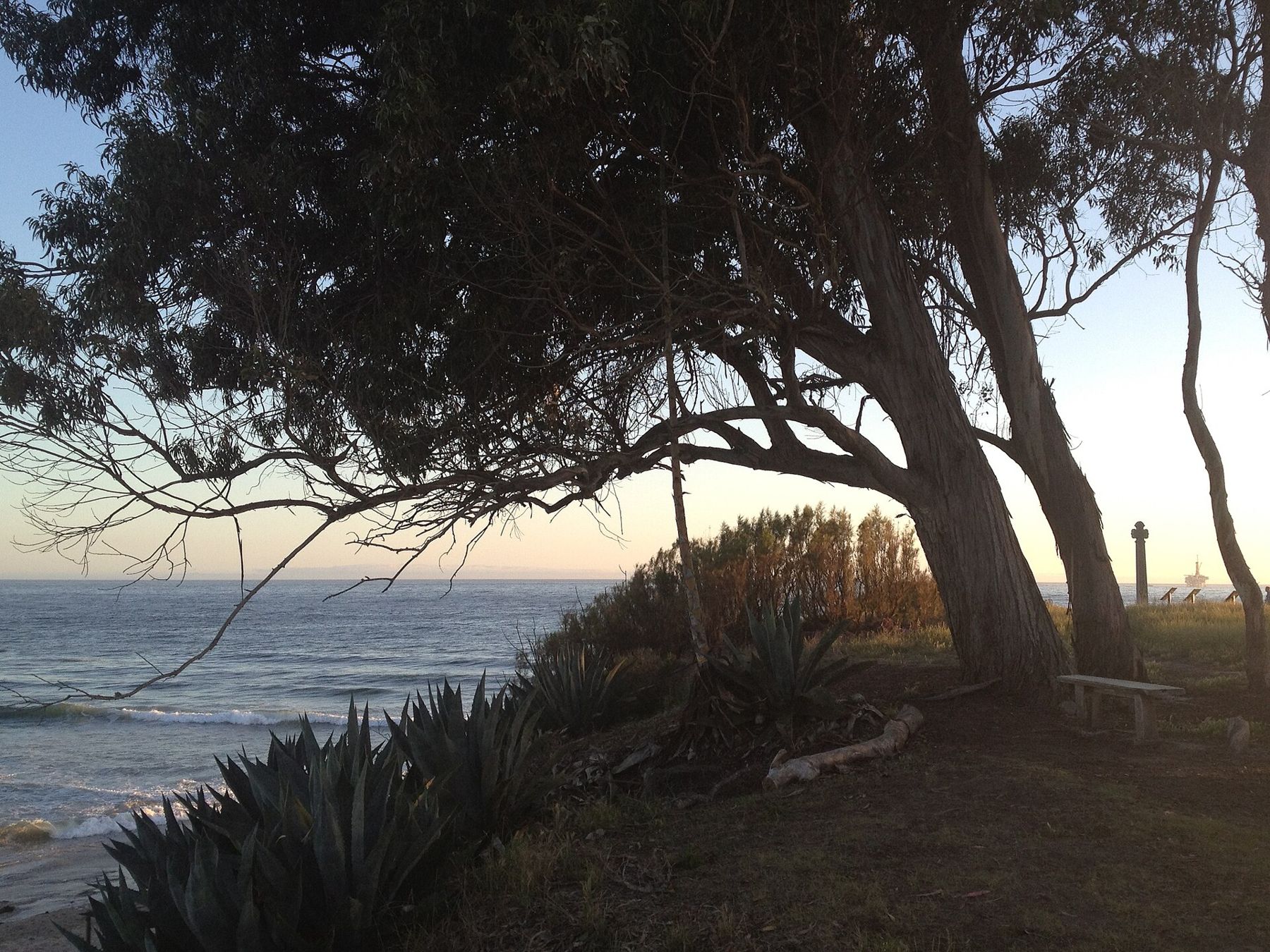
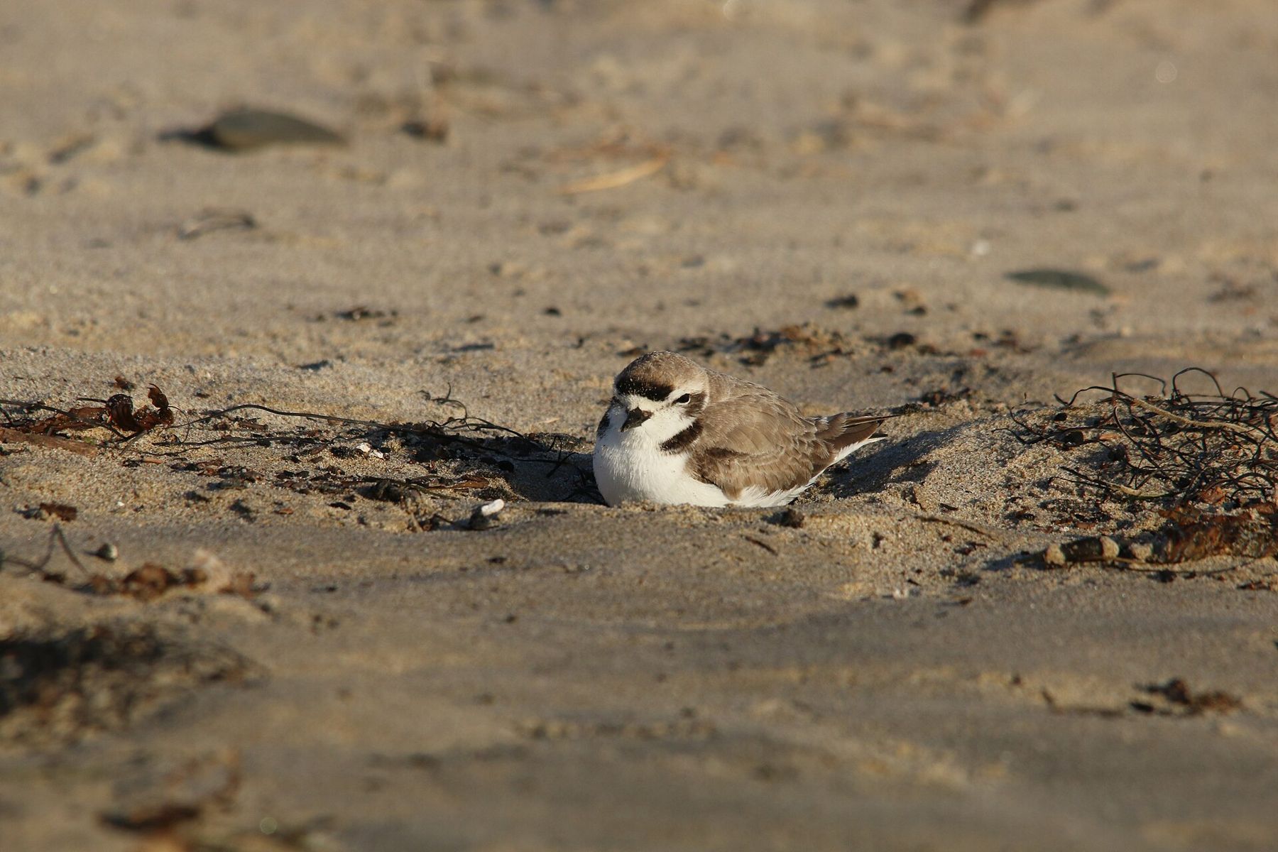
West of the university campus in Isla Vista, Coal Oil Point is part of a natural reserve run by the University of California. Below the point, rocky reef comes out at low tide beside Sands Beach, and offshore lie some of the most active natural oil seeps in the world, which is where the point's name comes from. On calm days you can sometimes smell them. The beach beside the point is a roosting and nesting ground for the western snowy plover, a small, threatened shorebird, and part of it is fenced. Walk the wet sand, stay outside the ropes, and follow the posted rules, which are strict about dogs.
Arroyo Hondo
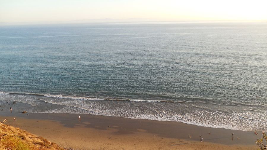
On the Gaviota coast, about thirty miles west of town, Arroyo Hondo is a steep, wooded canyon protected as a preserve by the Land Trust for Santa Barbara County. Its creek runs down to a small, rocky shore, and at low tide the reef there is about as quiet as tide-pooling gets on this coast. The catch is access. The preserve opens to the public only on a limited schedule and asks visitors to reserve ahead, and the arrangements change, so check well before going. It is worth the planning, for the canyon walk as much as the pools.
 Also on Presidio PostEvery beach, compared
Leadbetter Point
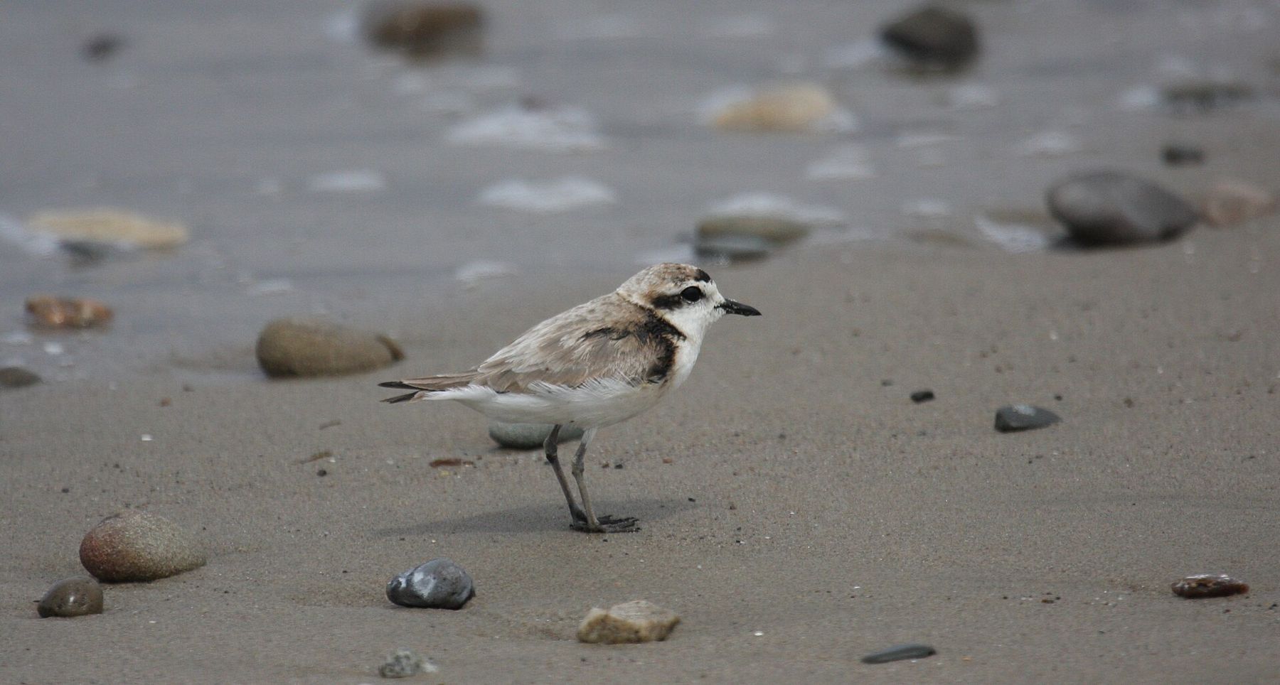
Right in town, the reef off Santa Barbara Point at the western end of Leadbetter Beach uncovers on the lowest tides. Walk west along the sand from the Leadbetter lot below the cliffs of Shoreline Park, and on a good minus tide the rock beyond the surf line opens into pools with anemones, small crabs and turban snails. This is a surf break as well as a reef, so pick a calm day, keep the waves in sight and head back before the tide turns. It is the easiest pooling in Santa Barbara to fit into a morning.
The Mesa reefs
Below the cliffs between Arroyo Burro Beach and Mesa Lane, low benches of rock come out on minus tides, with pools of surfgrass, mussels and goose barnacles. Start from the Arroyo Burro lot and walk east, or come down the Mesa Lane stairs and walk west. This is the stretch where timing matters most. The beach is narrow, the cliffs are steep and loose, and a rising tide reaches their foot in several places, so going out on a falling tide and back well before low water has passed is the rule.
What lives there
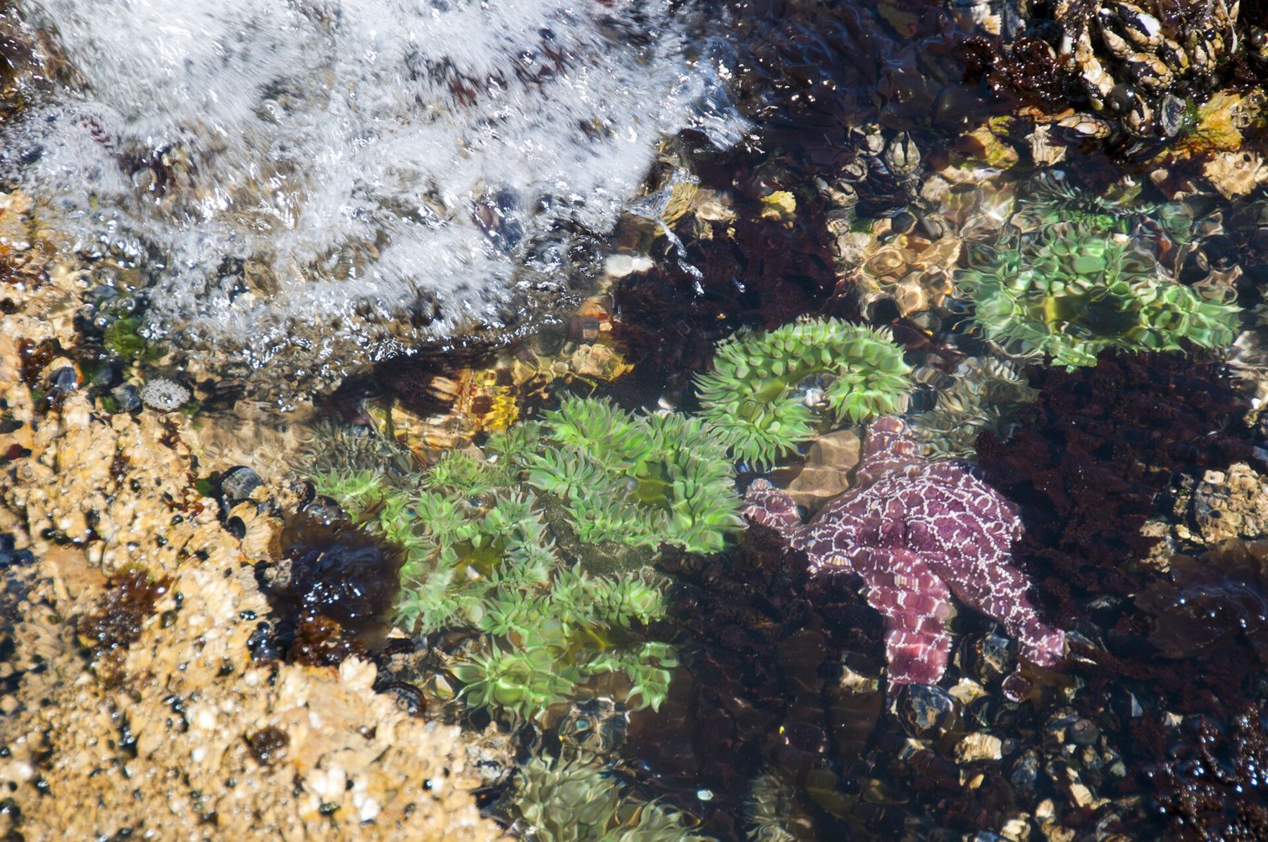
Look before you touch, and look slowly. Giant green anemones open like flowers in the deeper pools; aggregating anemones carpet the rock in a gray-green crust that closes when the water leaves. Purple urchins sit in hollows. Black turban snails, owl limpets and chitons grip the rock. Hermit crabs trade shells, shore crabs sidle under ledges, and tide-pool sculpins freeze and then vanish. California sea hares, big soft slugs that release purple ink, graze the seaweed. Sea stars were hit hard by a wasting disease that swept this coast from 2013, and have been returning slowly in places. With luck, a small octopus.
The rules
Take nothing, living or empty. Parts of this coast, including the water off the university campus and stretches farther west, are marine protected areas where taking anything is illegal, and the rules for the rest of the shore are strict as well. Touch gently with one wet finger, if at all. Never pull an animal off the rock; anemones and limpets tear. Turn rocks back the way you found them, slowly. Keep out of fenced plover areas, and keep well back from any seal or sea lion on the shore. Seasonal closures, like the harbor seal rookery east of Carpinteria, are there for good reason.
Staying safe
The reef is slippery, especially the green algae; wear shoes with grip that can get wet, and keep your hands free. Face the water the whole time you are out on the rocks. Even on a calm day, a larger set can arrive without warning and sweep across a reef that looked dry a minute before. Know when low tide is and when you need to be off the rock, and remember that headlands are the first places to be cut off as the water returns. Tar comes off skin with baby oil or cooking oil. And leave the last pool for next time, before the tide decides for you.