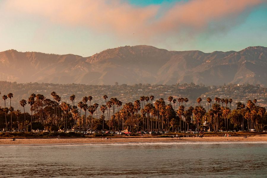
Stand at the foot of State Street with your back to the wharf and the whole visitor's Santa Barbara is in front of you. The Funk Zone is on your right, a few warehouse blocks wide. The old Spanish quarter and the Courthouse are straight ahead, a long walk up a gentle slope. The Mission sits on the rise beyond them, and the harbor is a short stroll to the west along the sand.
It is one of the few towns in California where a visitor can leave the car at home and not miss much. Here is how.
Can you really do it without a car?
For a first visit, yes. The stretch between the Mission and the sea is a little over two miles, downhill most of the way, and everything on it, from the State Street promenade to the beaches, is walkable or a short bus ride. Downtown has the hotels, restaurants, museums and tasting rooms; the waterfront has the beaches, the wharf and the harbor.
A car starts to matter for the places beyond: Montecito's gardens, the trailheads in the foothills, the Gaviota coast and the Santa Ynez Valley. For those, rent for a day or join a tour rather than keeping a car parked all week.
How do you arrive without driving?
By train is the pleasant way. Amtrak's Pacific Surfliner runs along the coast between San Diego, Los Angeles and San Luis Obispo, and long stretches of the line hug the shore. The Coast Starlight, between Los Angeles and Seattle, stops here too. The station is a Mission Revival building on lower State Street, three blocks from the beach and on the edge of the Funk Zone.
Santa Barbara's airport is in Goleta, about eight miles west of downtown, with flights to western hubs. From there, taxis, rideshares and MTD buses reach the city. Long-running coach services also connect the city with Los Angeles International Airport. Schedules for all of these change; check before you travel.
How do the buses work?
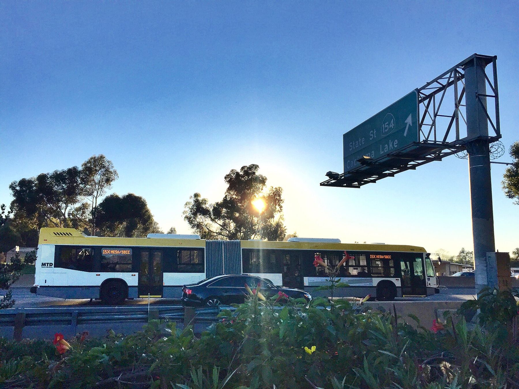
The Santa Barbara Metropolitan Transit District, always called MTD, runs the local buses. Most routes meet at the downtown transit center on Chapala Street at Carrillo, a block west of State. From there buses fan out to Goleta and the university, to Montecito and Carpinteria, up toward the Mission and along the Mesa.
Since the lower blocks of State Street closed to cars in 2020, buses use the parallel streets, Chapala and Anacapa, through downtown. Fares, passes, payment methods and route numbers all change from time to time, so check MTD's current maps before you travel, and carry small bills in case a card option is not running. The buses have bike racks on the front.
What happened to the waterfront shuttle?
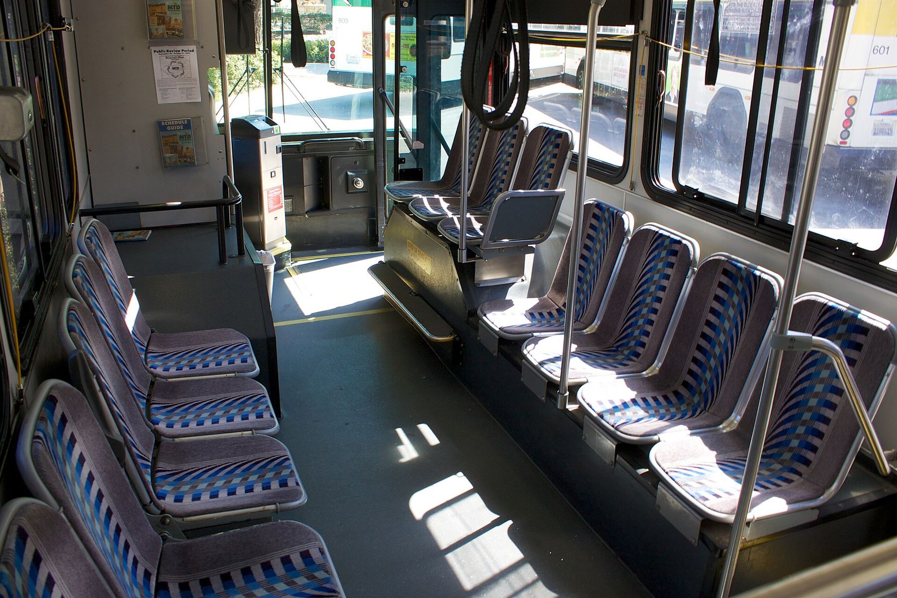
For years, small electric shuttles ran up and down State Street and along Cabrillo Boulevard between the harbor and the zoo, for a low fare, and they were the easiest way for visitors to get between downtown and the beach. When State Street became a pedestrian promenade, the downtown route had to change, and service along the waterfront has been adjusted more than once since.
Whether the shuttle is running, where and how often is exactly the sort of thing that shifts with each season. Check MTD before you plan on it. If it is not running, the walk is easy, and the beach path makes it a pleasure.
 Also on Presidio PostWhere to stay in Santa Barbara: the short answer
Is it a good town for bikes?
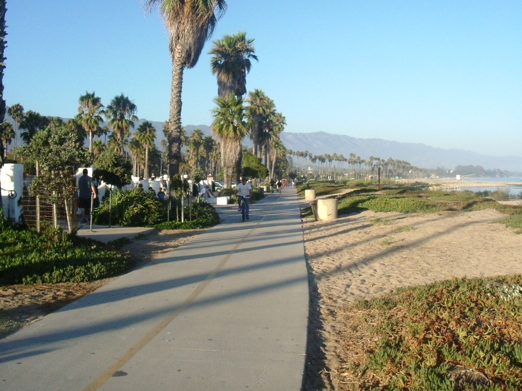
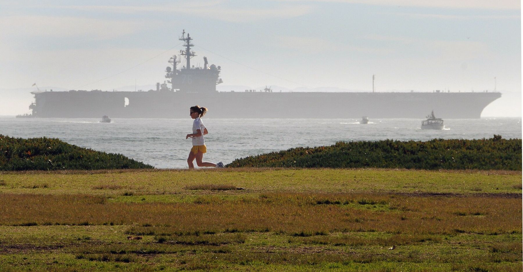
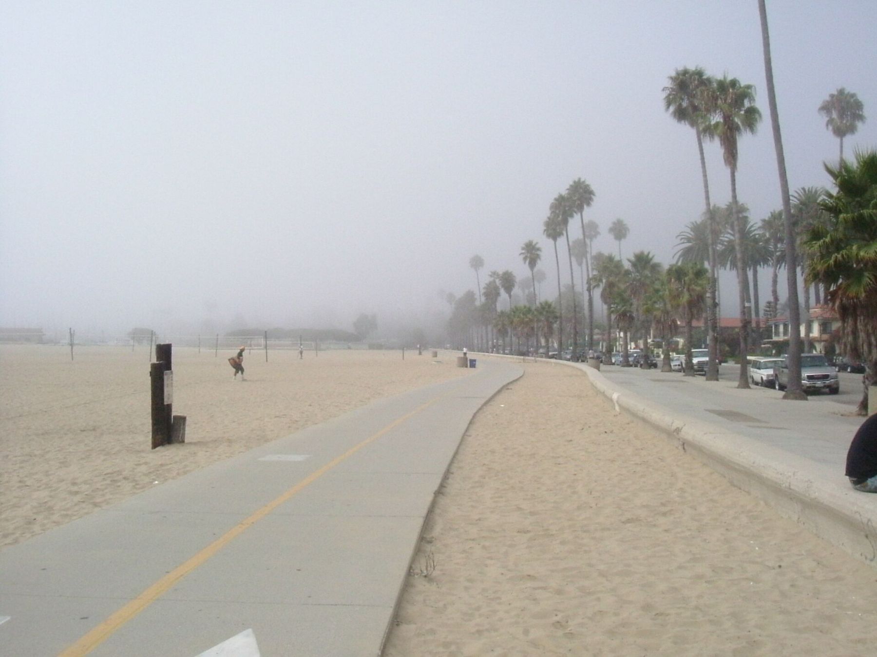
Very. A paved path runs along the beach beside Cabrillo Boulevard from Leadbetter Beach, past the harbor and Stearns Wharf, to East Beach and the bird refuge, and it is the single best way to see the waterfront. It is flat, wide and shared with walkers, runners, skaters and the four-wheeled surreys that rental shops lease by the hour along Cabrillo.
Away from the beach, painted bike lanes cover much of the city grid, and the climb to the Mission is steady but short. The Riviera and the Mesa are steeper. Rules for e-bikes on the beach path and on the State Street promenade have been revised in recent years; read the posted signs, ride slowly near people on foot, and expect to walk your bike where you are asked to.
How far is it on foot?
Closer than it looks on the map. Approximate walking times at an easy pace:
| From | To | Distance | Time |
|---|---|---|---|
| Stearns Wharf | The Courthouse | About 1.3 miles, gently uphill | 25-30 minutes |
| Stearns Wharf | The harbor | About 0.7 miles along the sand | 15 minutes |
| The Courthouse | Mission Santa Barbara | About 1 mile, uphill | 20-25 minutes |
| The Amtrak station | The Funk Zone | Next door | 2-5 minutes |
| The harbor | Shoreline Park on the Mesa | About 1 mile, with a climb | 20 minutes |
Walking down from the Mission to the sea, rather than up, is the easy way to see it all in a day. The Funk Zone sits between the station, the beach and lower State, and it is best done entirely on foot.
When does a rideshare make sense?
Late at night, and for anything uphill or out of town. Rideshares and local taxis are easy to find downtown and along the waterfront, and they are the simple answer for dinners in Montecito, a trailhead in the foothills, the botanic garden in Mission Canyon or a late train. Pickup spots on the promenade blocks of State Street can be awkward; walk to a cross street first.
Can you reach the wine country without driving?
Not easily by public transit. The Santa Ynez Valley is about 45 minutes away over San Marcos Pass, and local bus service out there is meant for residents, not tasting-room visitors. The practical choices are a tour van, a hired driver or a friend who is not drinking. Highway 154 is a steep, curving mountain road, and it is no place to drive after a day of tasting. Closer to home, the Urban Wine Trail keeps the tasting on foot, in the Funk Zone and downtown.
And if you do bring a car?
Downtown has a network of city parking lots and garages around State Street, and the waterfront has metered beach lots. Rates, free periods and time limits change, so read the signs at the entrance. Many neighborhoods near downtown and the beaches have residential permit zones. The simplest plan is to park once at your hotel and leave the car there until you head out of town.