- Moreton Bay Fig TreePlanted in the 1870s; one tree, a block of shade
- Santa Barbara railroad depotMission Revival station of 1905, still served by trains
- Lower State Street and MOXIScience museum for children, with a roof terrace
- Yanonali Street at AnacapaOld warehouses turned tasting rooms, paint on the walls
- Mason and Santa Barbara StreetsStudios, roll-up doors and the quieter back blocks
- Cabrillo Boulevard and the beachPalms, the bike path and the open water
The trains still come through. A horn sounds near the bottom of State Street, the crossing bells start, and a line of people with shopping bags and sunburned shoulders waits on the pavement while a passenger train slides past the painted walls of an old warehouse. Then the bells stop, the arms lift, and everyone walks on toward the sea.
That is the Funk Zone in one scene: an old industrial district on the wrong side of the tracks, between the freeway and the beach, that kept its sheds and its rough edges while it filled with tasting rooms, galleries and places to eat. For most of the twentieth century these blocks did the city's dirty work. Fish were landed and packed here, boats were repaired, lumber was stored, cars were fixed. The buildings are low and plain, many of them corrugated metal or concrete block, with wide doors made for trucks rather than shoppers.
Cheap space drew artists first, and the nickname stuck to the neighbourhood as they moved in. Wine came later, in a rush, once winemakers from the Santa Ynez and Santa Maria valleys saw the value of pouring their bottles a short walk from the beach. The walk below starts at the railroad, crosses the district in a loose zigzag and ends on the sand. It is short. The point is to go slowly.
Moreton Bay Fig Tree
Start one block west of State Street, at Chapala and Montecito Streets, under a single tree that covers more ground than most of the buildings in this walk. The Moreton Bay fig is an Australian species, planted here in the 1870s, and it has grown into something closer to a landscape than a plant. Its buttress roots fold across the ground like draped cloth, its limbs run out sideways on crutches, and on a hot afternoon the temperature under the canopy drops noticeably.
A fence keeps feet off the roots, which is the only reason the tree is still here. Walk around the outside of it once. The scale only makes sense from the edges, where you can see how far a branch reaches before it finds a prop to lean on.
Santa Barbara railroad depot
Across Chapala, the railroad station is a good-looking piece of Mission Revival from 1905: white stucco, a red tile roof, arches along the platform side and a long, low profile built for waiting rather than display. Southern Pacific trains brought the winter visitors who made Santa Barbara a resort town, and many of them stepped off here. Amtrak trains still stop, running up the coast toward San Luis Obispo and down toward Los Angeles and San Diego.
Stand on the platform side and look along the tracks. This is the line that cuts through the district, and it explains its shape. Industry wanted the railroad; the railroad wanted flat land near the water; the flat land is where you are standing. The Funk Zone starts on the far side of State Street.
Lower State Street and MOXI
Walk east to State Street and turn toward the sea. Lower State is a wide, hard-working stretch of road, busier with cars than the promenade uphill, and it is the hinge between the polished waterfront and the rougher blocks to the east.
On the east side stands MOXI, the Wolf Museum of Exploration and Innovation, a hands-on science museum that opened here in 2017. It is built for children, with exhibits about sound, light, speed and making things, and its roof terrace gives one of the better free looks at how this neighbourhood is put together: the flat roofs of the warehouses, the rail line, the palms along Cabrillo Boulevard, and the mountains standing over all of it. Entry to the museum itself is ticketed, with prices that change, so check before planning around it.
A block down, on the corner of Mason Street, the Hotel Californian is the newest version of an old idea. The original opened in 1925; the building now on the corner, in white stucco with Moorish tile and arches, opened in 2017 after years in which this corner stood empty. It is a useful landmark: the Funk Zone proper begins behind it.
 Also on Presidio PostA morning at the harbor
Yanonali Street at Anacapa
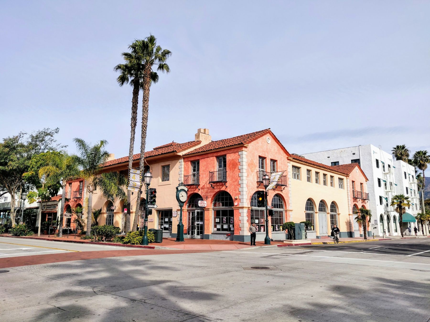
Turn east on Yanonali Street and walk to Anacapa. This is the busiest crossroads in the district and the one that shows how it changed. The buildings are the same sheds and workshops they were; what has changed is behind the doors. On a weekend afternoon those doors stand open on tasting rooms, a few of them with long counters set in former garages, and the sound of conversation spills onto the street.
The wines poured here come mostly from the cool valleys inland, Pinot Noir and Chardonnay from the Sta. Rita Hills, Syrah and Rhône grapes from Ballard Canyon and the warmer eastern end of the Santa Ynez Valley. Many of these rooms belong to small producers whose vineyards are an hour or more away over the mountains. If tasting is the plan, the Urban Wine Trail has a route of its own.
Look at the walls, too. Murals cover many of the side walls and back fences in the district, and they change. Some are commissioned, some are painted over within a season. Treat them as a gallery whose hang rotates without notice, and photograph what you like when you see it.
Mason and Santa Barbara Streets
From Anacapa, drift south and east along Mason Street to Santa Barbara Street. The crowds thin out within a block. This is where the district still looks most like a working neighbourhood: roll-up doors on studios and small workshops, chain-link fences, loading docks, the occasional delivery van wedged against the kerb.
It is also where the argument about the Funk Zone becomes visible. As rents rose and tasting rooms multiplied, artists and small makers were squeezed, and the city has gone back and forth over how much of the old industrial use to protect. The mix you see on these back blocks, part workshop, part gallery, part restaurant, is the current answer, and it keeps shifting. Walk them on a weekday morning, when the doors are open for work rather than for visitors, and the place makes more sense.
Cabrillo Boulevard and the beach
Santa Barbara Street runs out at Cabrillo Boulevard, and the district stops as abruptly as it started. Across the road are palms, the paved path that runs along the whole waterfront, and then sand. East Beach stretches away to the left, with its volleyball courts. To the right, a short walk west, Stearns Wharf goes straight out into the channel.
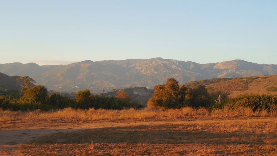
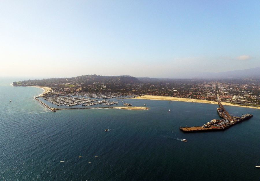
Cross over and stand at the edge of the sand. Turn around. The view back is the reason the warehouses were here and the reason they are worth so much now: the flat strip of land between the water and the hills, the railroad cutting through it, and above everything, in late light, the long blue ridge of the Santa Ynez Mountains.
The practical part
Getting here. The walk starts at the railroad station, which makes it easy to arrive by train. Downtown, a short walk up State Street, has the city's parking structures; lots near the waterfront fill early on summer weekends, and their rates and time limits change, so read the signs. The waterfront shuttle and local buses also serve lower State; see getting around without a car for how they connect.
When to go. Weekday mornings are quiet and the light is good on the walls. Weekend afternoons are lively and loud. Most tasting rooms and restaurants open from late morning, but hours vary by business and by season, and change often.
Pace. If you are tasting, eat first and drink water between stops. Pours are small, and they add up.
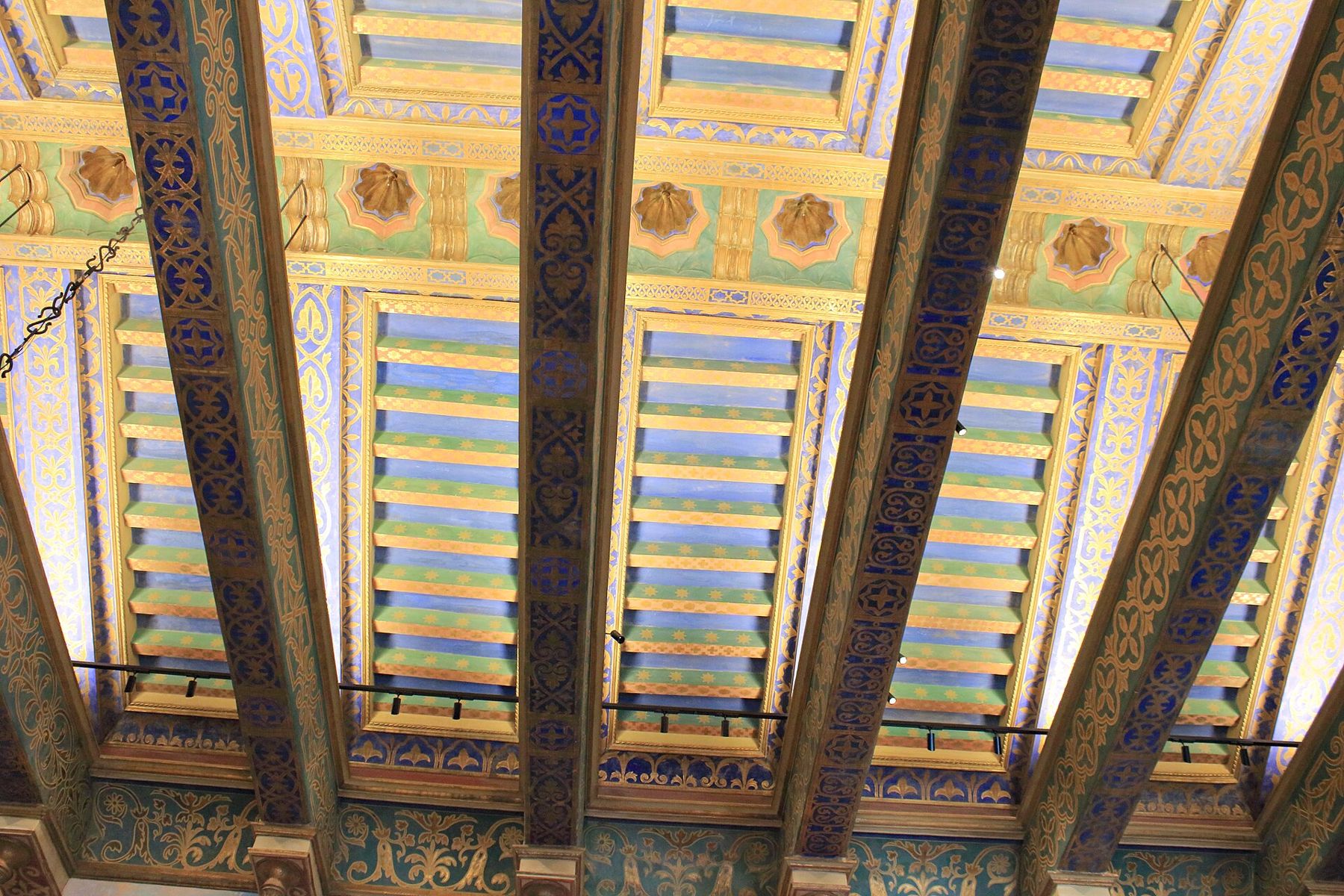
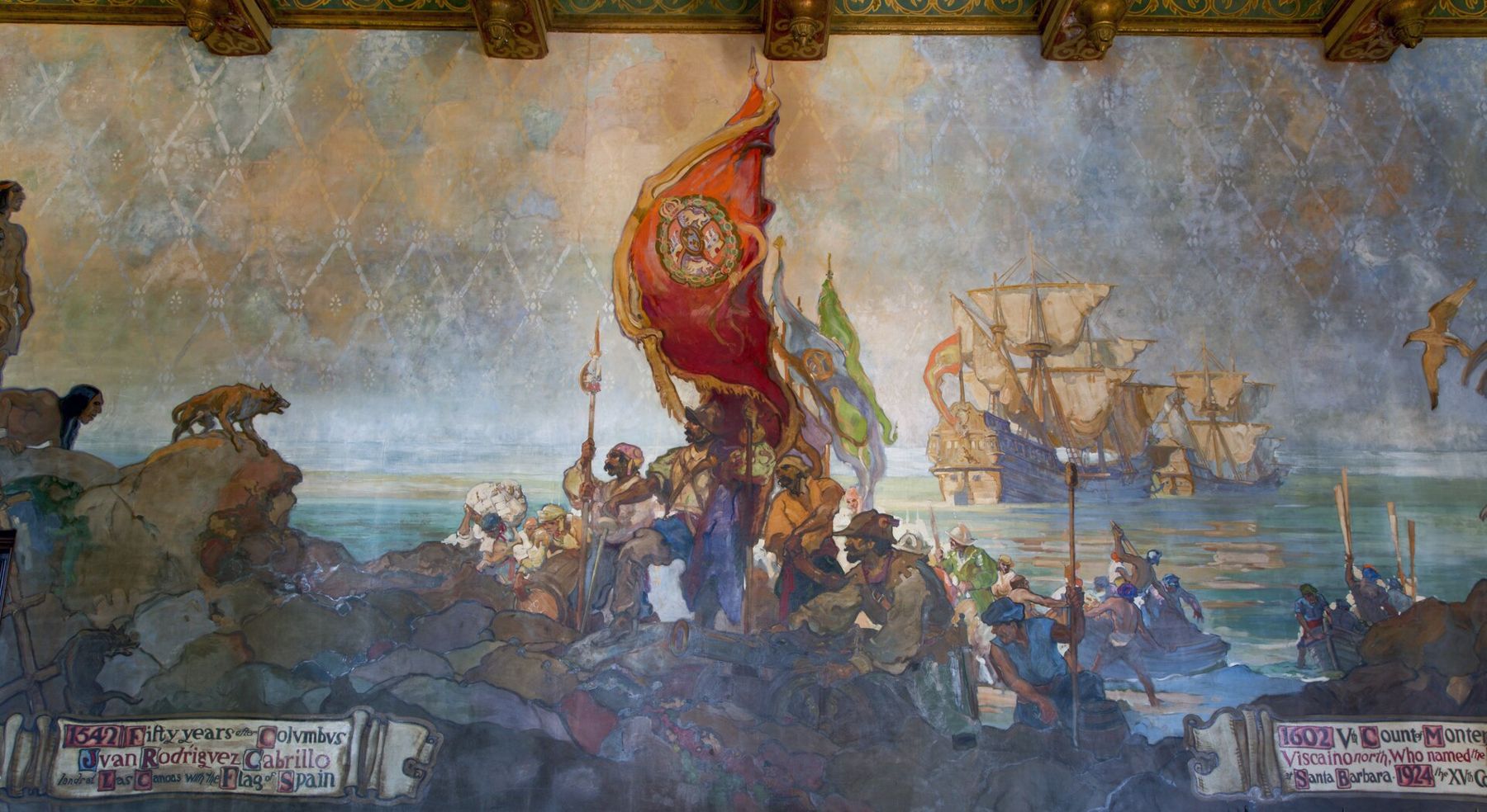
More walls. The Funk Zone's paint is new, but the city's appetite for murals is old. Uphill, the Mural Room of the County Courthouse has been covered in painted history since the late 1920s, and each year around Memorial Day weekend, chalk artists fill the forecourt of the Mission with pavement pictures.