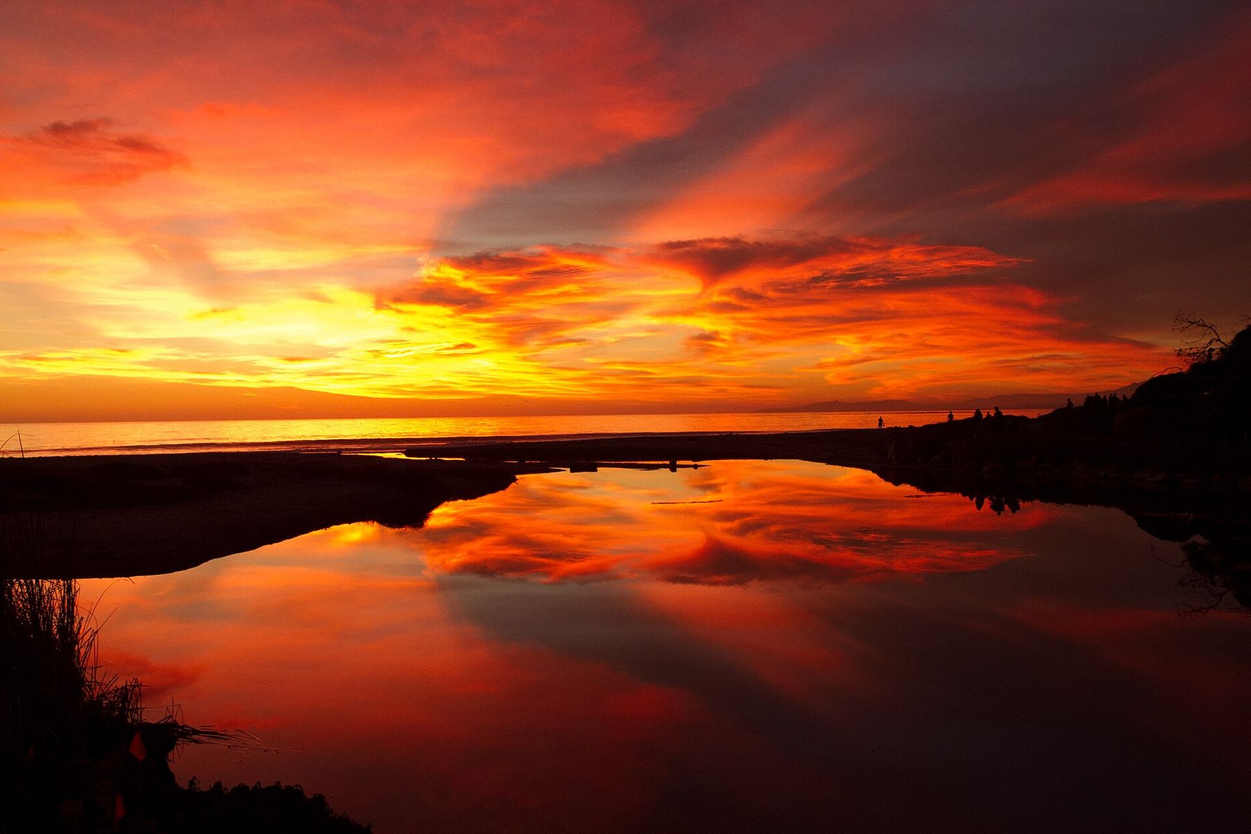
Walk down Linden Avenue from the town centre and it simply runs out of road. The shops end, a few houses go by, and then the street opens onto sand, a lifeguard tower and water so calm it barely bothers to break. Children stand knee-deep with buckets. On a still morning, the swell lays itself on the beach like someone setting down a tray.
Carpinteria has called this the world's safest beach for a long time, and the slogan is sincere. The town is small, about twelve miles east of Santa Barbara, between the mountains and the sea, with greenhouses on the flat land behind it and a beach in front that has made it a favourite of families for generations.
On a still morning, the swell lays itself on the beach like someone setting down a tray.
Why the safest beach
The reason is underwater. A reef offshore takes the power out of the swell before it reaches the beach, and the sand slopes gently into the water. There is no sudden drop, and the waves that arrive are small and regular. On most days there is little of the rip current that makes other beaches on this coast dangerous for weak swimmers.
That makes it a beach for paddling, for small children and for people who want to swim without fighting the sea. It does not make it risk-free. Swells do come in, especially in winter, and lifeguards are on duty in season for a reason. Treat the water with the usual care, and watch children as you would anywhere.
The beach faces south, so it gets sun all day, and in the afternoon a breeze often rises off the water. Mornings are calmest. In summer the sand fills with families by late morning, umbrellas in rows along the waterline; in autumn and winter, on clear days, the beach is nearly empty and the light across the channel is sharp enough to pick out ridges on the islands.
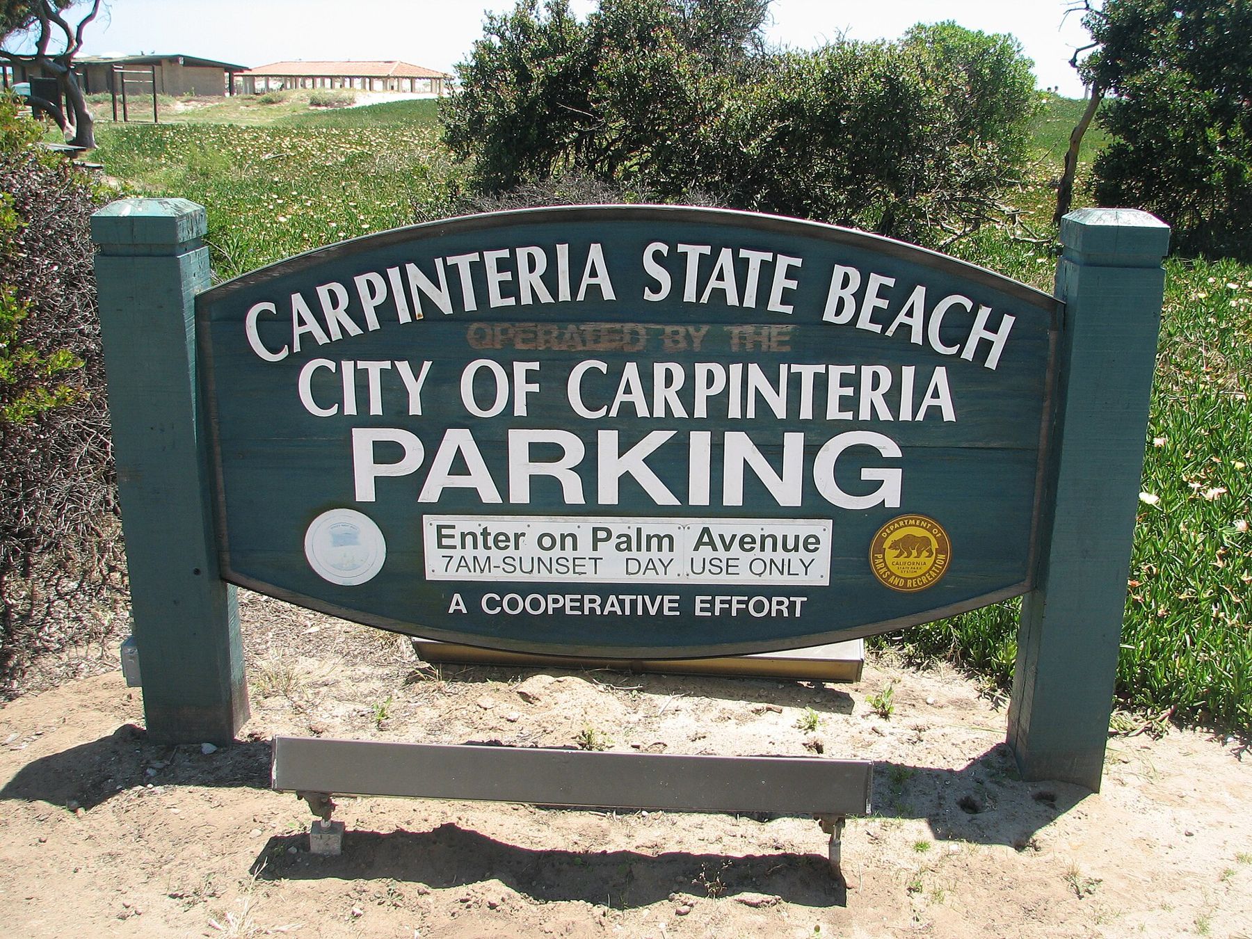
The beach runs for more than a mile, much of it within Carpinteria State Beach, which has a campground behind the sand. To the east, the beach continues toward the rocky reef and tide pools; our tide pools story covers the reef here at low tide.
The name and the tar
Long before the slogan, this beach had a different reputation. The Chumash had a large village here, and the people who lived in it built plank canoes, the tomols, sewn together and sealed with tar. The tar came from natural seeps along the shore, where asphalt still oozes out of the ground and the rocks.
When the Portolá expedition passed this way in 1769, the Spanish saw the canoe builders at work and named the place for what they saw: la carpintería, the carpenter's shop. The name stayed.
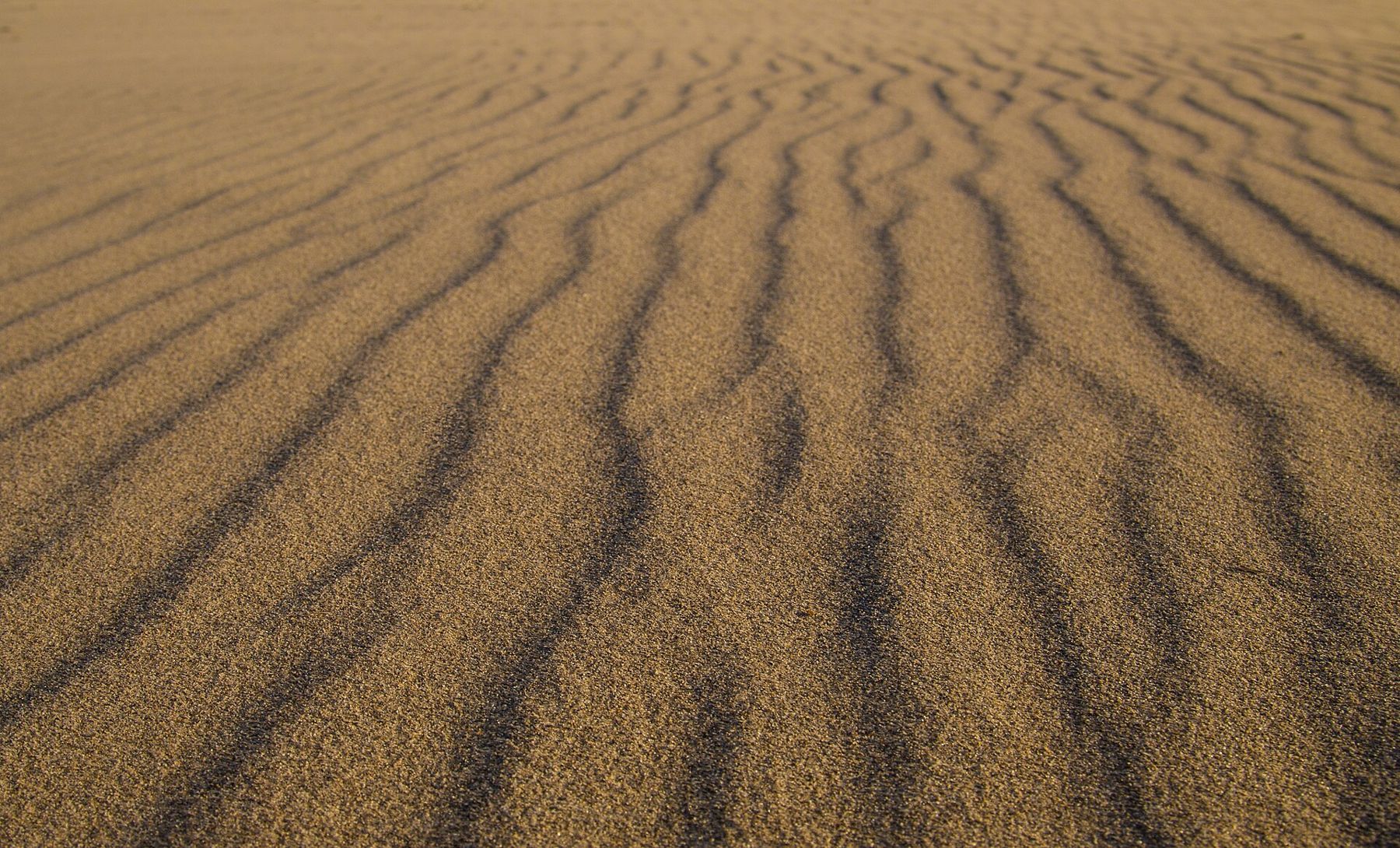
The tar is still here. Walk the eastern end of the state beach and the rocks are streaked black, and on warm days a little tar works up through the sand. It sticks to feet. Locals keep oil or a wipe in the car for exactly this purpose. A small park near the shore marks the seeps.
Seals on the bluff
East of the state beach, below the Carpinteria Bluffs, a stretch of sand belongs to harbor seals. They haul out here year round, lying in grey and spotted rows like loaves cooling on a rack, and in winter and spring they give birth here.
During the pupping season, which runs roughly from winter into late spring, the beach below the rookery is closed to people. The dates are set by the city and posted on site. The best place to see the seals is from the bluff above, where a viewing area looks straight down onto them, and volunteers are often on hand in season to answer questions. Keep your voice low and your dog on a leash, and stay behind the ropes. A seal that lifts its head to watch you has already been disturbed.
The bluff path to the viewing area is short and level, and it makes a good walk on its own. Go at low tide, when more of the beach is exposed and more seals are out of the water, lying close together on the sand with their flippers folded.
Even outside the closure, the seals have priority. Keep well back from any animal on the beach, and leave pups alone; a mother is usually close by in the water.
 Also on Presidio PostSanta Barbara in winter
The bluffs and the marsh
The Carpinteria Bluffs are a stretch of open grassland on the cliff above the sea east of town, saved from development by a community campaign in the late 1990s. A trail runs along the top, through grass and wildflowers in spring, with views of the islands across the channel and the mountains behind. It is a short, easy walk, and at sunset, one of the best places on this coast.
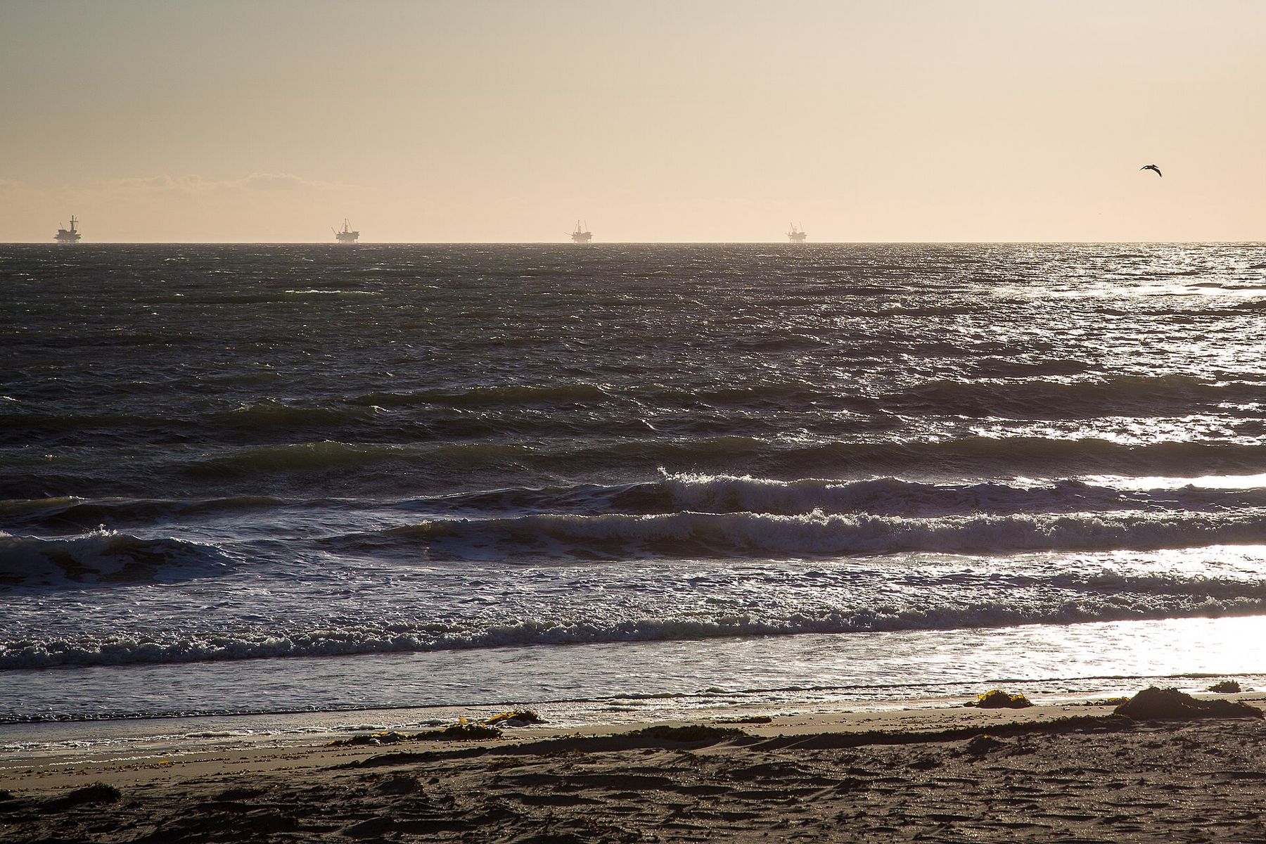
On the horizon, oil platforms stand in the channel. They are part of the view whether you want them or not, and a reminder that this coast has been an oil field for more than a century, since the first wells were drilled from piers at Summerland, just west of here, in the 1890s.
Further east, where the bluffs end and the county line runs down to the sea, Rincon Point is one of the best-known surf breaks in California, a long point where winter swells wrap around and peel for a great distance along the cobbles. On a big day the parking areas fill before dawn and the line-up is crowded with expert surfers. It is a place to watch rather than paddle out, unless you know what you are doing.
At the other end of town, the Carpinteria Salt Marsh spreads out behind the beach, one of the few remaining coastal wetlands in Southern California. Herons and egrets stalk the channels at low tide, and the open water catches the sky at sunset. Part of it is a protected reserve managed for research; paths around the edge let visitors look in without walking through it.
Linden Avenue
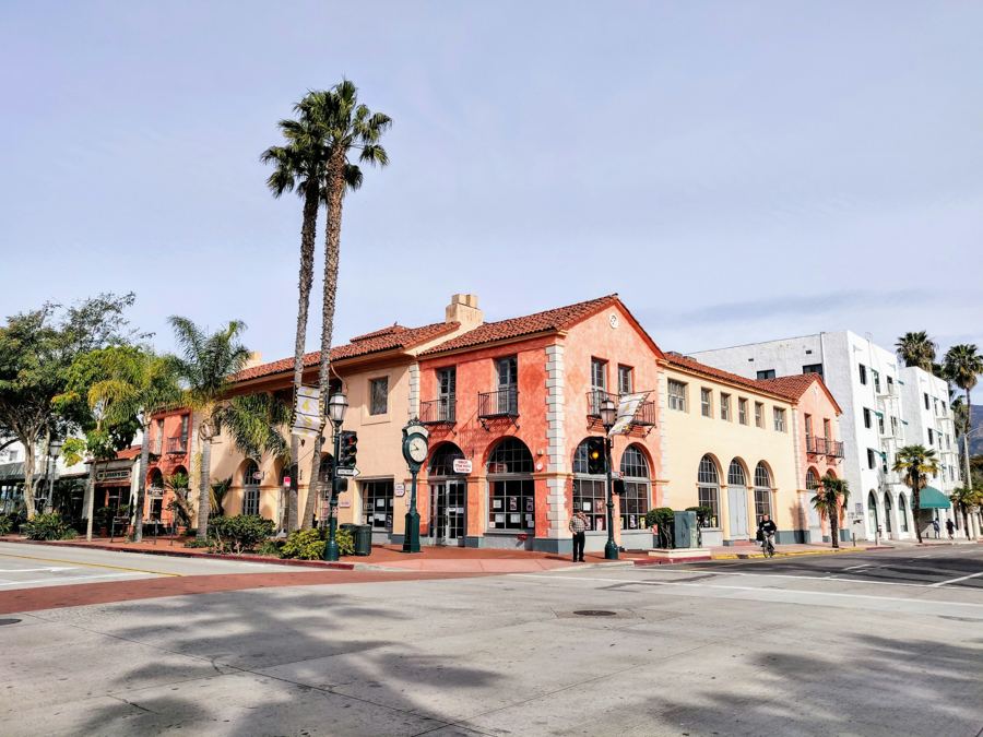
Carpinteria's main street is Linden Avenue, and it runs from the highway down to the beach in a straight line, past low buildings, small shops, cafés, bars and taco places, and the kind of storefronts that would have been chain stores in a larger town. It is short enough to walk in a few minutes and pleasant enough to make it take an hour.
Amtrak trains stop on Linden Avenue, so a day trip from Santa Barbara works without a car; our story on getting around has more on the connections. The Carpinteria Valley Museum of History, a few blocks from Linden, keeps the town's story: the Chumash, the ranchos, the lemon and avocado orchards.
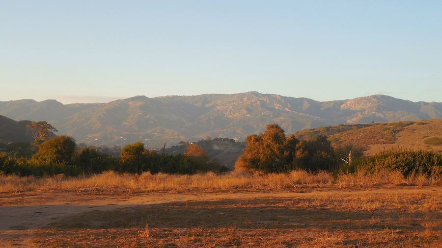
Behind the town, the flat land of the Carpinteria Valley is covered with greenhouses, glinting in rows toward the foothills, and above them the slopes are planted with avocado and lemon orchards. Agriculture still shapes the place more than tourism does. Trucks pull out onto the roads at dawn, and the smell of wet soil and citrus comes down the valley after rain.
The town is quiet. That is its appeal. Compared with Santa Barbara, it has fewer hotels and less traffic, and in the evenings it feels like a place where people live rather than a place they visit. Our guide to which part of town is for you sets it beside the other options.
The avocado festival
Each October, Linden Avenue closes to cars for the California Avocado Festival, a weekend street fair that celebrates the crop that has long filled the orchards on the slopes above town. There is music on several stages, food stalls, crafts, and avocados in every form anyone has thought of, including a very large bowl of guacamole. It is busy and cheerful, and the town fills up for it.
For the rest of the year, the avocados are in the hills, and Carpinteria is a beach town again. Go down to the end of Linden in the late afternoon, when the light is gold on the water and the families are packing up. The sea is calm. A seal surfaces off the reef, looks at the beach for a moment, and goes back under. Every beach, compared has the rest of the coast, but few of them end a day this gently.