At the top of the Mesa Lane steps, a little before sunset, the ocean is a sheet of hammered metal and the steps go down into it. People come up the stairway with boards under their arms and salt on their faces, breathing hard. People go down with dogs. Behind them, the street is ordinary: a few cars, low houses, a jacaranda dropping purple onto a driveway. Santa Barbara keeps its most beautiful edge in the middle of a neighbourhood.
The Mesa is the flat-topped rise that runs west from the harbor for a few miles, a marine terrace lifted out of the sea and cut off on its south side by cliffs. From downtown it reads as a long green shelf above the breakwater. Up close it is mostly houses, many of them modest, built in the decades after the Second World War, with a strip of shops at its centre, a college on its eastern lip and, along its edge, the best run of public clifftop in the city.
Santa Barbara keeps its most beautiful edge in the middle of a neighbourhood.
A plateau above the harbor
You arrive by Cliff Drive, which climbs out of the harbor past Santa Barbara City College, whose campus sits on the Mesa's eastern bluff with a view down onto the breakwater and the boats. Then the road levels and the light changes. Up here you are above the marine layer's lowest edge on some mornings and inside it on others, and the wind off the water arrives without anything in the way.
The flatness is the point. The Mesa is easy to walk and easy to cycle, laid out in long straight streets that run toward the sea and stop. Most of them end at a fence and a view. A few end at stairs.
What it is not is a destination in the usual sense. There is no main sight, no museum, no single postcard. People come for the edges: a park on the cliff, a preserve on the bluff, a lighthouse you cannot visit, and stairways down to beaches that disappear at high tide.
Shoreline Park
Shoreline Drive runs along the eastern end of the cliff, and Shoreline Park runs along Shoreline Drive: a long ribbon of lawn, palms and benches between the road and the drop. Families spread out on the grass, a playground fills on weekend mornings, and the benches along the rail face the water.
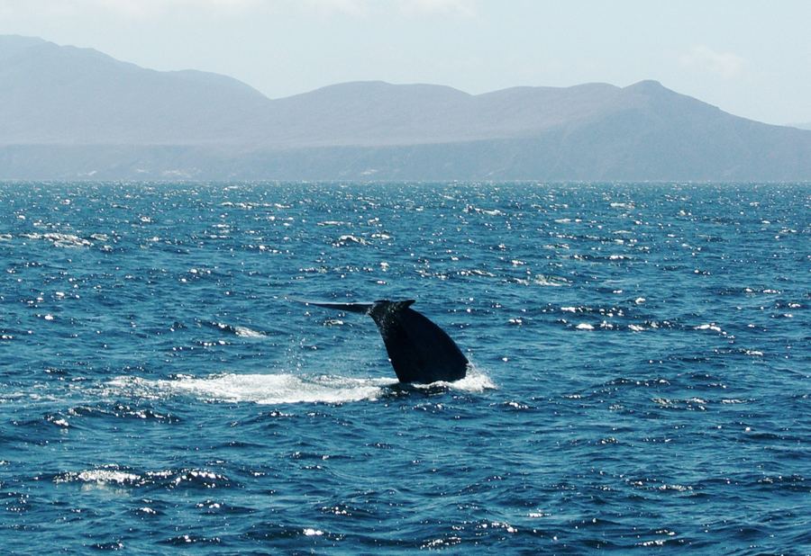
The view is wide. East, the harbor and the breakwater, with Stearns Wharf beyond and the hills of Montecito behind it. South, across the channel, the long grey outline of Santa Cruz Island on a clear day. Between them, in late winter and spring, grey whales travel along the coast, close enough on some days that their blows show from the park. A staircase leads down the cliff to the beach, which is wide at low tide and gone at high tide.
Morning has its own crowd. Runners take the path along the rail before work, older couples walk the length of the park and back, and on clear days after a storm the island looks close enough to reach by swimming. In June and early July the marine layer often sits over the water until midday, and the park becomes a grey, muffled place where foghorn and gull do the talking. Wait for it to burn off; the colour comes back all at once.
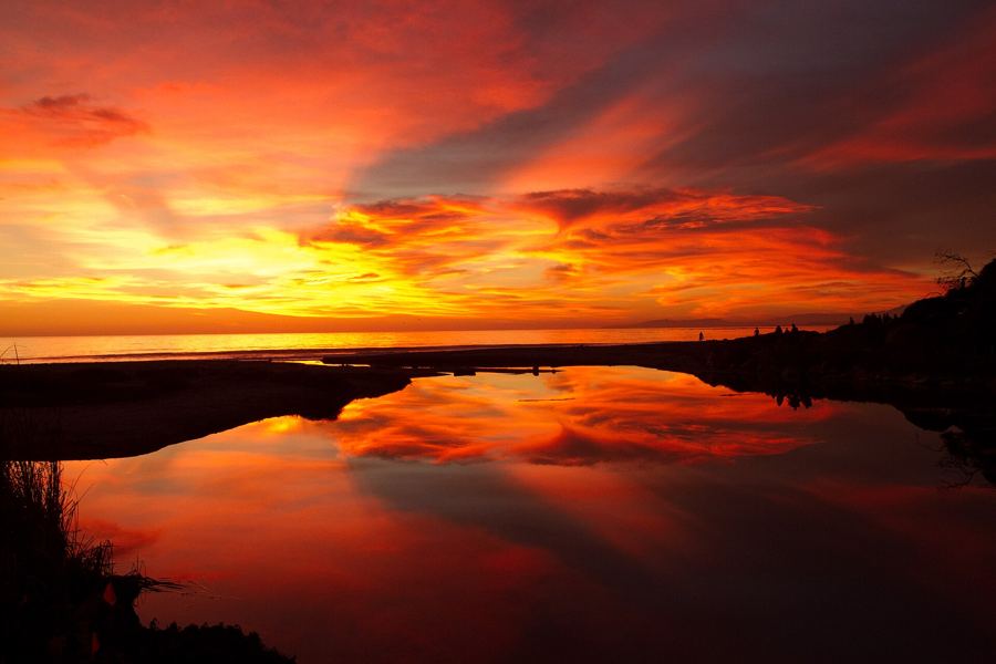
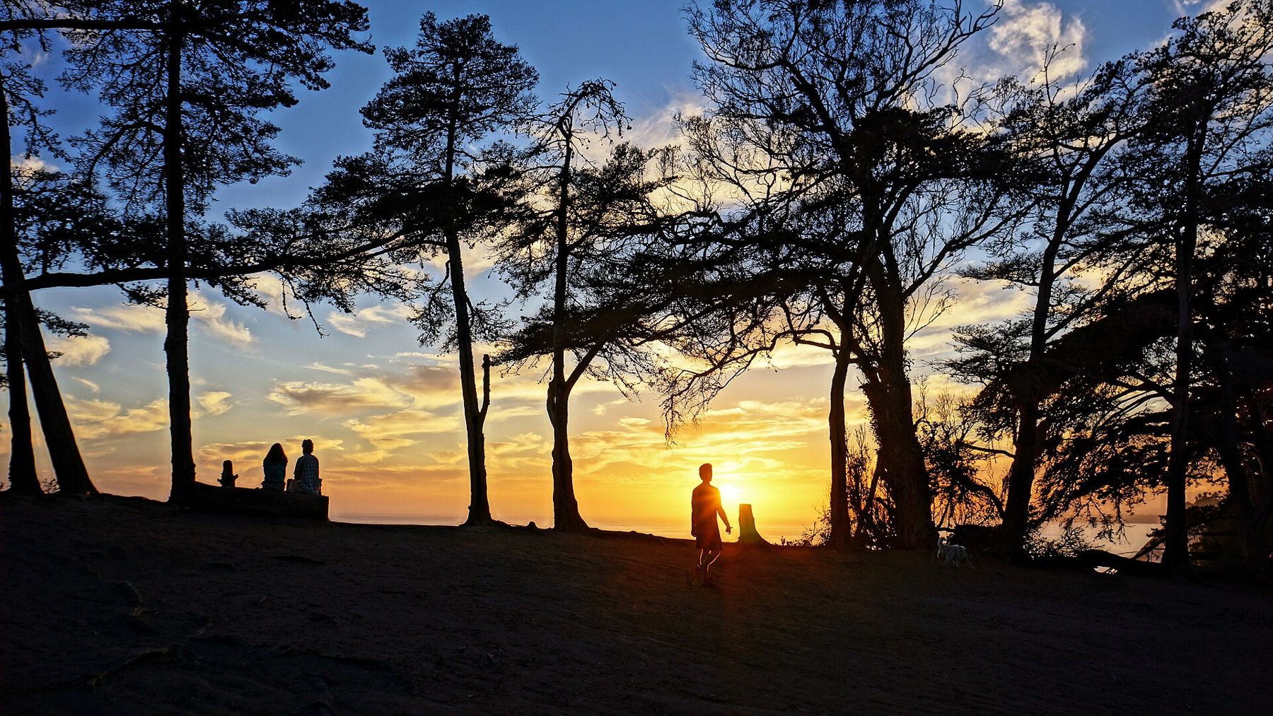
Come in the hour before sunset. The park faces south and west, the light goes gold across the water, and half the neighbourhood turns up to watch it, which is part of the show. The sunset spots story has the other places in town where people gather for the same reason.
The lighthouse you cannot visit
Santa Barbara has had a light on the Mesa since 1856. The first one was a modest house with a lantern on its roof, standing on the bluff west of the harbor, and for some forty years, from 1865 to 1905, its keeper was Julia Williams, who raised her family in the house and tended the lamp through those decades almost without a night away.
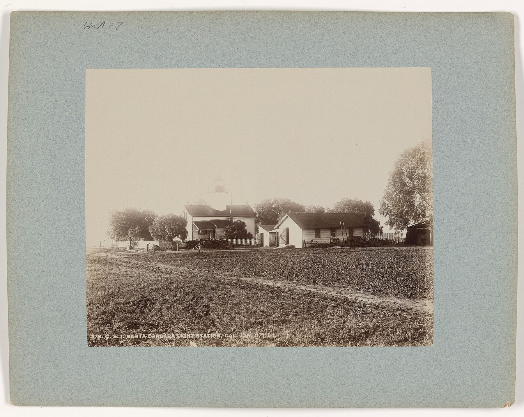
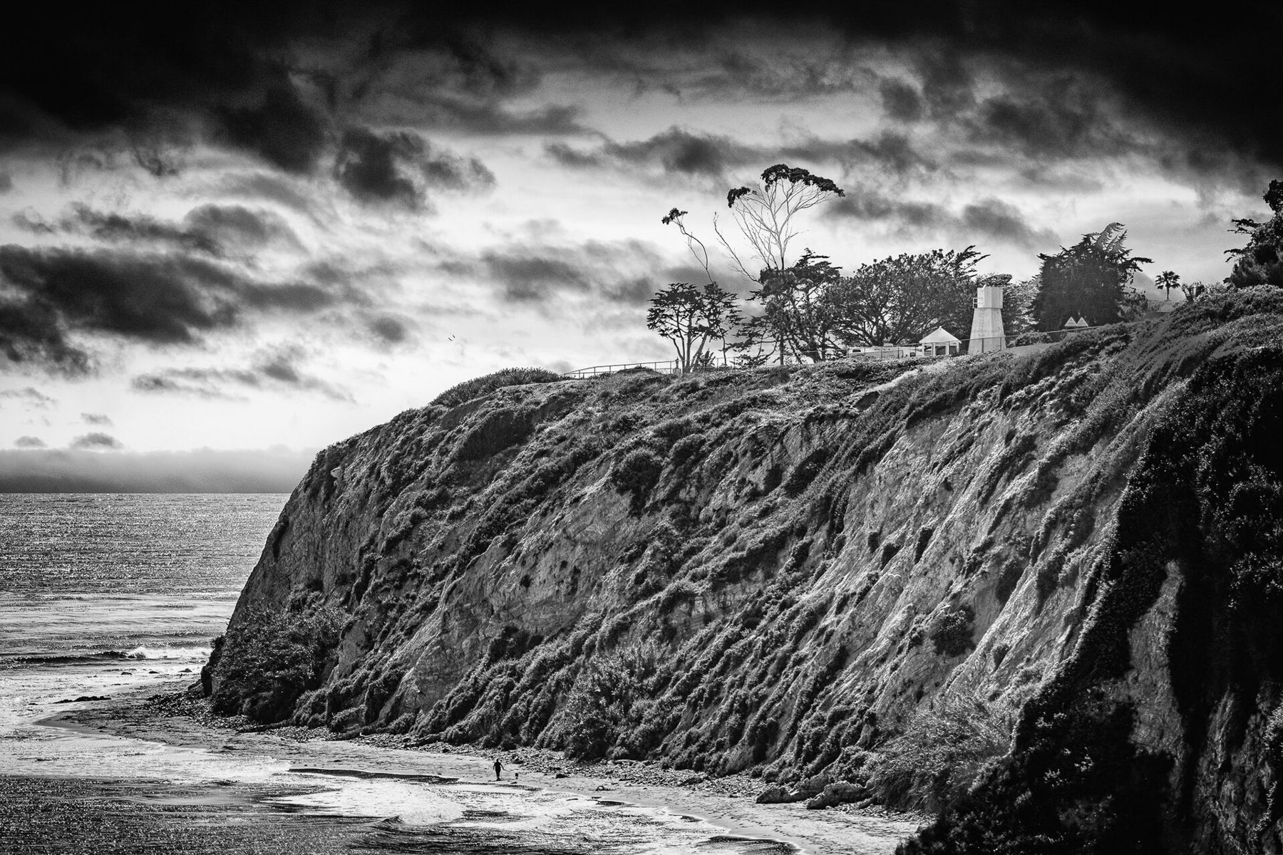
The house did not survive the earthquake of June 29, 1925, which shook down much of downtown and left the old lighthouse in ruins. A plain, automated tower replaced it. The light still works, but it stands on Coast Guard land behind a fence off Cliff Drive and is not open to the public. Most people see it only from the beach below, a short white tower above dark cliffs. The 1925 earthquake remade the city in other ways too.
 Also on Presidio PostWhales in the channel
Stairways to the sand
The beaches below the Mesa are narrow, and they belong to the tide. At low water you can walk the sand for miles beneath the cliffs; at high water, with a swell running, the sea reaches the base of the bluff and there is no beach at all. The rule for every stairway is the same: look at a tide table before you go down, and look at your watch while you are there.
There are a handful of ways down. The stairway at the end of Santa Cruz Boulevard is known as the Thousand Steps, though it has far fewer than a thousand. Further west, the Mesa Lane steps drop a long way down the cliff in a series of flights and landings, and the beach at the bottom is a popular surf break when the swell is right. The walk back up is a workout.
Between the stairways, the cliffs are soft sandstone and shale, and they shed rock. Walk near the waterline rather than tight against the bluff, and keep children away from the base. At very low tides, rock shelves come out of the water below the cliffs with small pools in them, worth a look and worth leaving alone. Our beaches compared story covers the strands below the Mesa alongside the rest of the coast.
The Douglas Family Preserve
At the Mesa's western end, a bluff of grass, coast live oak, Monterey cypress and eucalyptus runs out toward the sea above Arroyo Burro Beach. For years it was a private parcel facing development, known as the Wilcox property. In the late 1990s a long community campaign raised the money to buy it for the city, and a final gift from the actor Michael Douglas closed the gap; the preserve carries his family's name.
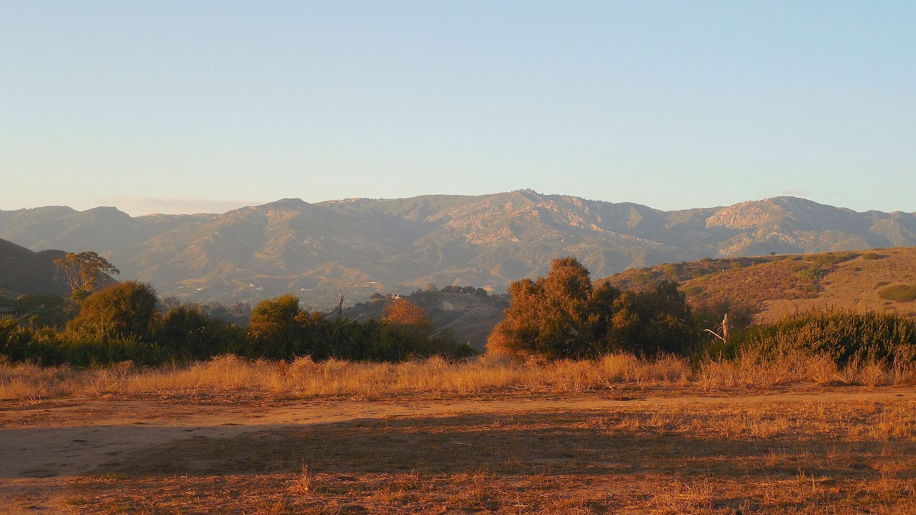
It is now about seventy acres of open ground with a loop of dirt paths, and it is the city's favourite place to walk a dog. Dogs are allowed off leash under posted rules that have changed over the years, so read the signs at the entrance off Medcliff Road. The paths run to the edge of the bluff, where the view goes west along the coast toward Hope Ranch and down onto the beach at Arroyo Burro, and north across dry grass to the mountains.
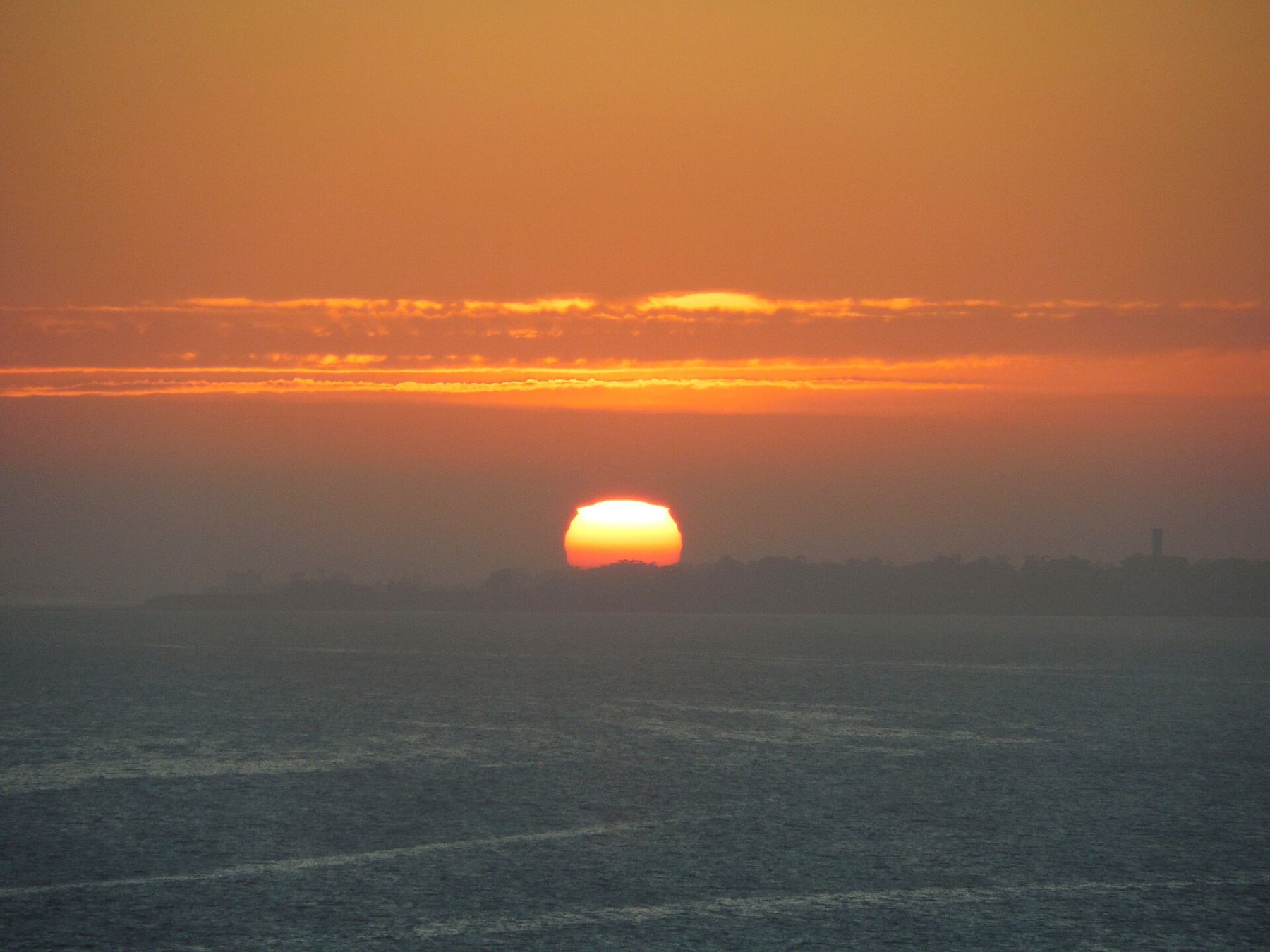
The best hour is the last one. Light comes in low through the cypress, people sit on the edge of the bluff, and the sun goes down into a thin band of haze over the water. Stay on the paths near the cliff edge. The bluff is crumbling at the top as well as the bottom.
The village and the everyday Mesa
The Mesa's centre is at the crossing of Cliff Drive and Meigs Road, where a cluster of shops gives the neighbourhood its everyday supplies: groceries, coffee, a few places to eat, the kind of plain commercial strip that most beautiful places hide and this one simply has. It works because people walk and cycle to it from streets a few minutes away.
The Mesa has its own small rhythms. Saturday mornings bring cyclists heading out along Cliff Drive toward Arroyo Burro, where the road dips down to the beach and the creek. Surfers check the swell from the top of the stairs before deciding whether it is worth the climb. Schoolchildren walk home in the afternoon along streets with almost no through traffic.
Around it, the neighbourhood is quiet. La Mesa Park sits near the cliff at the end of Meigs Road, a green patch with picnic tables and a view. Kids ride bikes in the street. In the evening, the light falls along the straight roads that run to the sea, and at the end of every one of them is a fence, a strip of sky and the water. Down below the cliff, the harbor's breakwater lights come on, one after another, and the boats in the harbor go still for the night.