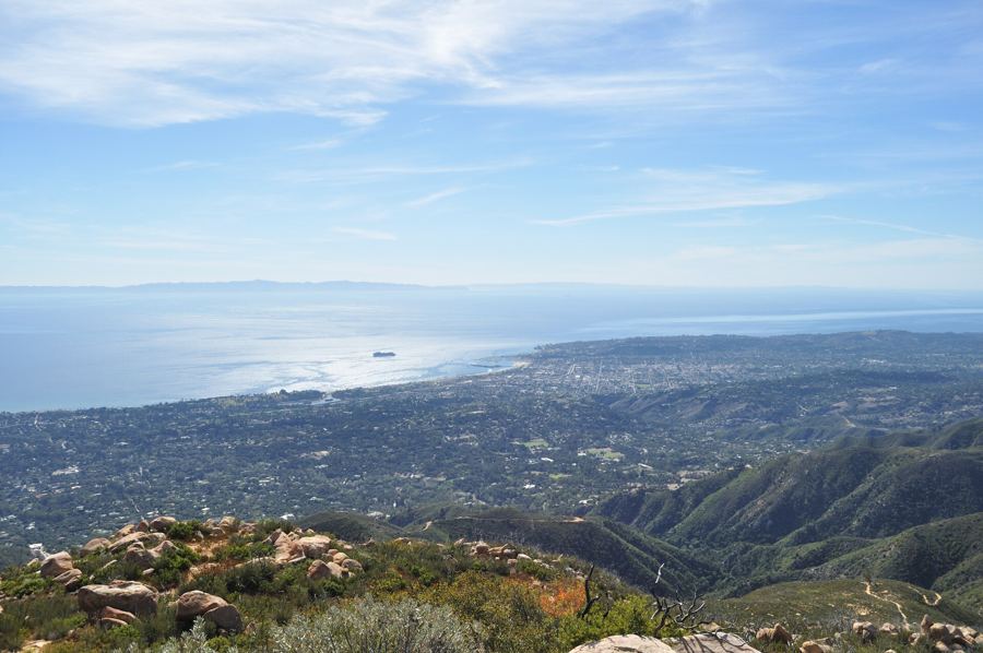
West of Goleta, Highway 101 stops being a city road. The last houses fall away, and the freeway runs alone along a narrow shelf between the mountains and the sea, with the railroad on one side and nothing on the other but ranch land, canyons full of oaks and sycamores, and the ocean. Oil platforms stand offshore. Cattle graze to the bluff edge.
This is the Gaviota coast, one of the longest stretches of undeveloped shoreline in Southern California. Most of it is private ranch land, and the public reaches it through three state parks: El Capitán, Refugio and Gaviota. A single day can take in all three, with a bike ride, a picnic under the palms, a hike and a sunset, never more than forty minutes from Santa Barbara.
Morning at El Capitán
Leave early, when the light is low and the coast is quiet. It is about twenty miles from downtown to El Capitán State Beach, a half hour on the freeway.
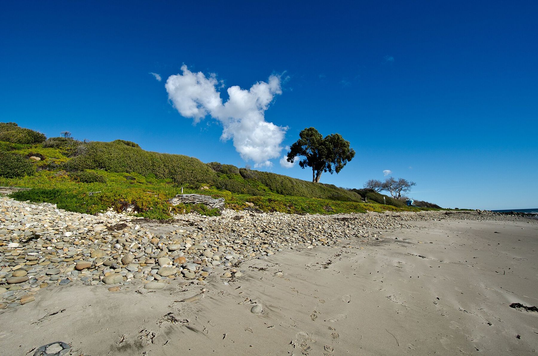
El Capitán sits at the mouth of a creek canyon, where a point of rocks juts into the sea. Sycamores and oaks shade the creek, and stairs lead down from the bluffs to a beach of sand and cobbles. At low tide, the rocky point exposes tide pools with anemones and crabs. The campground on the bluffs above is one of the most popular on the coast.
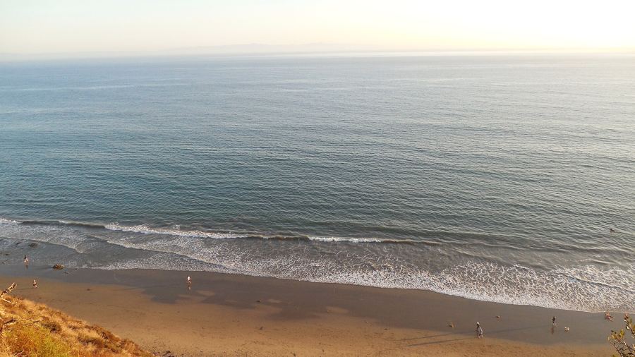
Walk the bluff edge first. In the morning, the water is often glassy, and pelicans pass low along the waves in long lines. Look east and the coast curves back toward Goleta. Look south and, on a clear day, the Channel Islands lie along the horizon.
Like the other parks on this coast, El Capitán charges a day-use fee, and fees and hours change, so check before going. Your receipt may be valid at the neighboring parks on the same day; ask at the gate.
The bluff path to Refugio
A paved bike path runs along the bluffs between El Capitán and Refugio, a few miles each way. It is one of the best short rides on the coast: almost flat, with the ocean on one side and the mountains on the other, the railroad close by and the occasional train rumbling past.
Bring a bike, or walk it. On foot, the round trip takes most of the morning; on a bike, an hour or so with stops. The path is shared, so keep right and watch for walkers. There is little shade, and the sun is strong even when the air is cool, so carry water.
The view changes as you go. Small coves open below the bluffs, kelp beds darken the water offshore, and the hills inland are green in winter and spring, gold in summer and autumn. The path ends at Refugio, where the palms come into view.
Refugio at midday
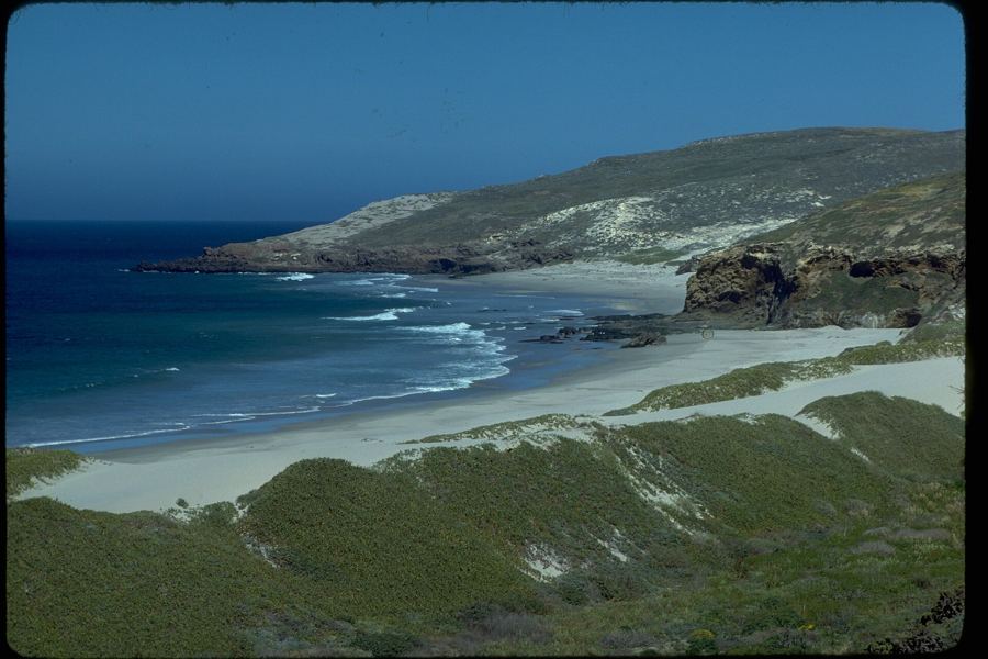
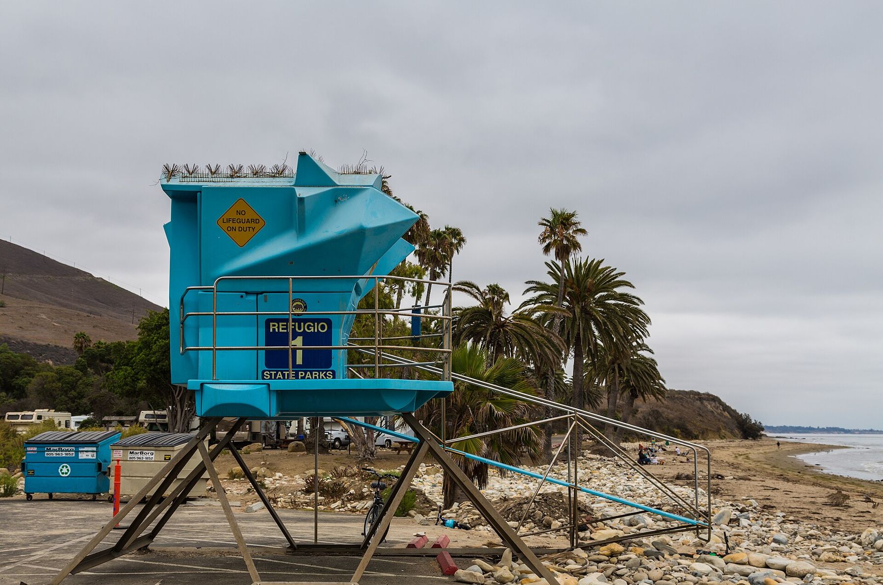
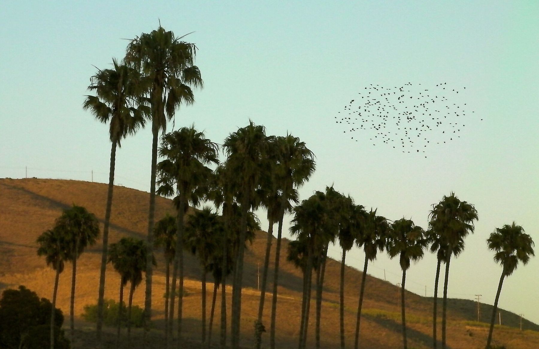
Refugio State Beach is the picture most people carry of this coast: a curving beach on a small cove, backed by a row of tall palms and a creek lined with oaks. The palms give the place an oddly tropical air, and the cove is sheltered enough for gentle swimming, kayaking and paddling on calm days.
It is the right place for lunch. Picnic tables sit under the trees, and the beach is a good place to stretch out afterward. A small rocky point at the eastern end has tide pools at low water.
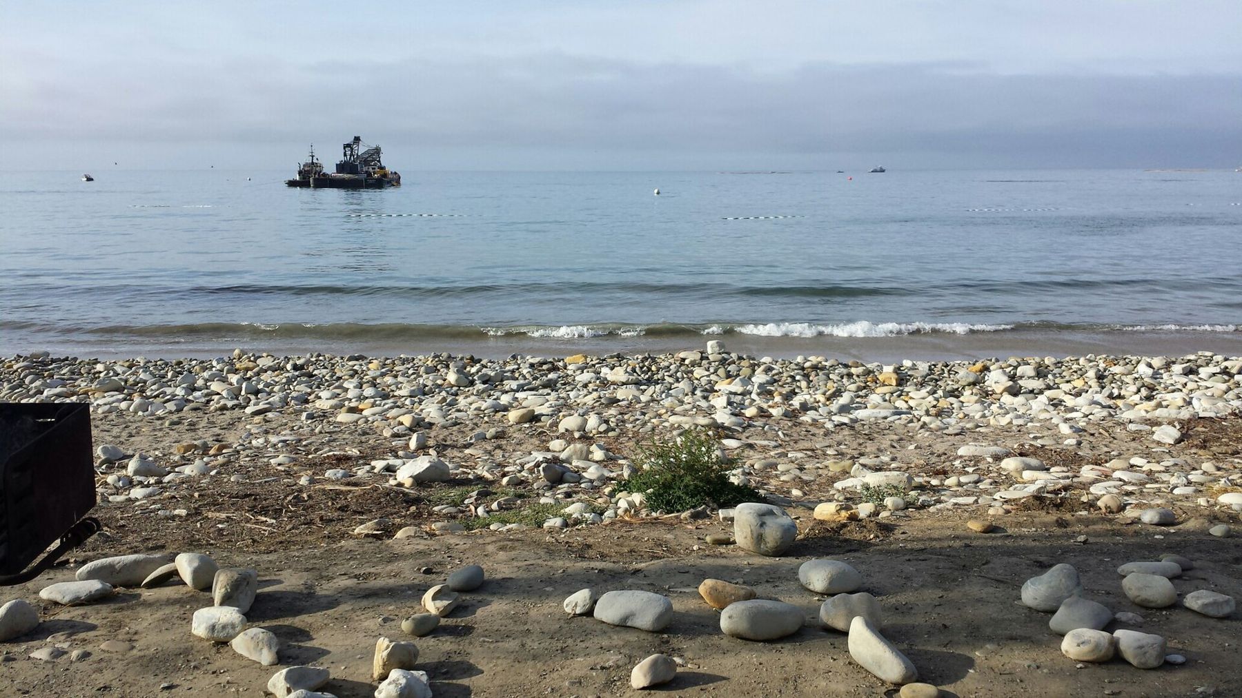
The coast here has known trouble. In May 2015, an onshore oil pipeline ruptured near Refugio and spilled crude oil down a culvert into the sea, fouling the beaches for miles and closing the park for months. The water and sand have since recovered, but the spill is part of the coast's story, along with the platforms offshore and the long local fight over oil.
Ride or walk back to El Capitán, collect the car, and drive west.
 Also on Presidio PostEvery beach, compared
Gaviota State Park and the trestle
About ten miles farther west, Highway 101 turns inland at Gaviota, where the coast bends and the road heads north through Gaviota Pass toward Solvang and the Santa Ynez Valley. Just before the turn, Gaviota State Park sits at the mouth of a creek between steep rock walls, with a sandy beach below a high railroad trestle.
The trestle is the image to remember: a steel bridge striding across the canyon mouth, with the cliffs on either side and the sea beyond. Trains still cross it. The beach is a good place for a short walk, and the pier, damaged by storms, has been closed for long stretches; check before counting on it.
The wind here can be fierce. Gaviota means "seagull" in Spanish, a name given by soldiers of the Portolá expedition, which passed this way in 1769.
Gaviota Peak or the hot springs
For the afternoon, choose your effort. Inland of the park, a trailhead off the frontage road near the junction of Highways 101 and 1 leads up a canyon into the mountains.
The easy choice is the hot springs. A short walk up the trail, less than a mile, brings you to a few small, warm pools fed by a spring, shaded by trees, with a faint smell of sulfur. They are modest, lukewarm rather than hot, and often busy, but sitting in them after a morning on the coast is a pleasure.
The hard choice is Gaviota Peak. The trail continues past the springs and climbs steadily on an old fire road to the summit, about 2,450 feet above the sea. The round trip is about six miles, with roughly two thousand feet of climbing, almost all of it exposed. From the top, the view takes in the coast in both directions, Point Conception to the west, the Santa Ynez Valley to the north, and the islands offshore.
In warm weather, start this climb early or skip it. Carry plenty of water, watch for rattlesnakes, and check for fire closures, which are common in summer and autumn.
Sunset on the coast
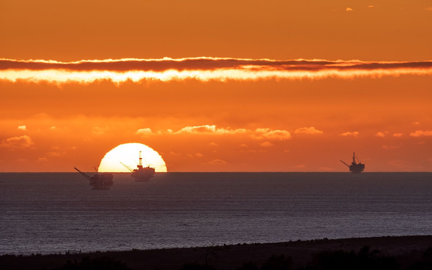
For the end of the day, go back to the beach. Refugio and El Capitán both face south across the channel, and in the cooler months the sun sets over the water to the west, outlining the oil platforms offshore against the glow.
Beyond Gaviota, the coast continues west to Point Conception, where it turns north. The point is sacred to the Chumash, who called it the Western Gate, the place where souls leave this world. The land around it is private or protected, with no public road to the point. From the beaches, it is simply a dark headland at the end of the light.
Drive home in the dusk, east along the coast, with the railroad on one side and the sea on the other. If you want more, the coastal trail at Ellwood makes a fine morning walk on the way back another day, and the sunset spots closer to town await another evening.