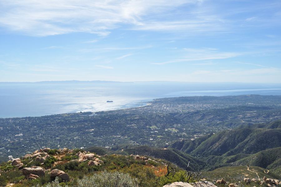
From the end of Stearns Wharf on a clear winter afternoon, the islands look close enough to row to. They lie along the southern horizon in a long, low chain, gray-blue and wrinkled with canyons, and in the right light you can make out the white of the sea cliffs. Then the marine layer comes in, and they vanish for a week.
They are the Channel Islands, and five of them make up one of the least visited national parks in the country, despite sitting off one of the most crowded coasts in America. The reason is the water. There is no bridge and no airport for visitors, only a boat ride across a channel that can be glassy or rough, and when you land, there is nothing waiting: no café, no shop, no hotel. That is exactly the appeal.
Five islands, one park
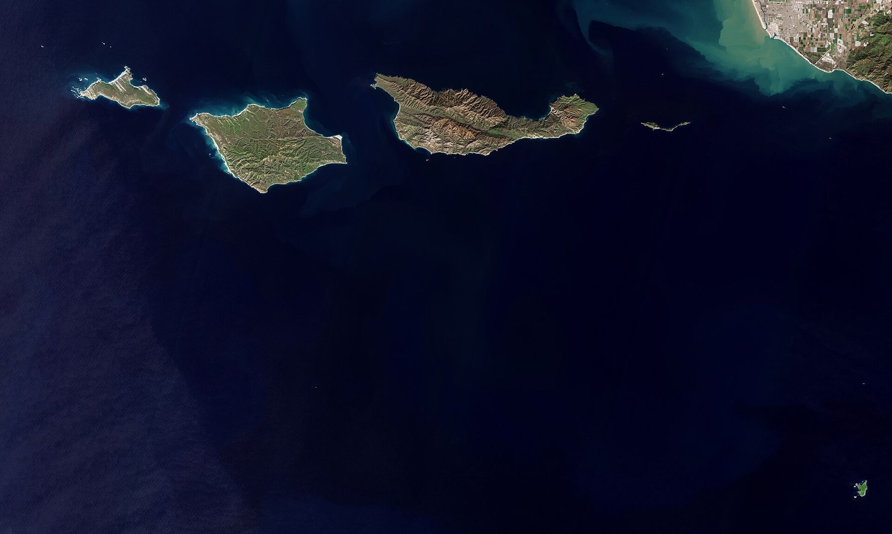
There are eight Channel Islands off Southern California. Five of them, together with the waters around them, form Channel Islands National Park: the four northern islands, Anacapa, Santa Cruz, Santa Rosa and San Miguel, and, far to the south, little Santa Barbara Island. Anacapa and Santa Barbara were protected as a national monument in 1938, and the park was created in 1980. The surrounding waters are also a national marine sanctuary.
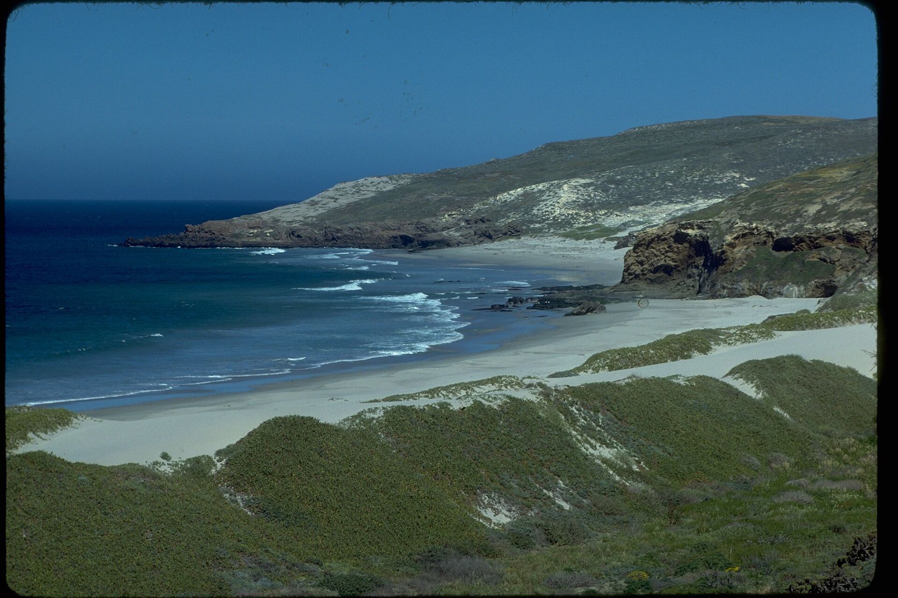
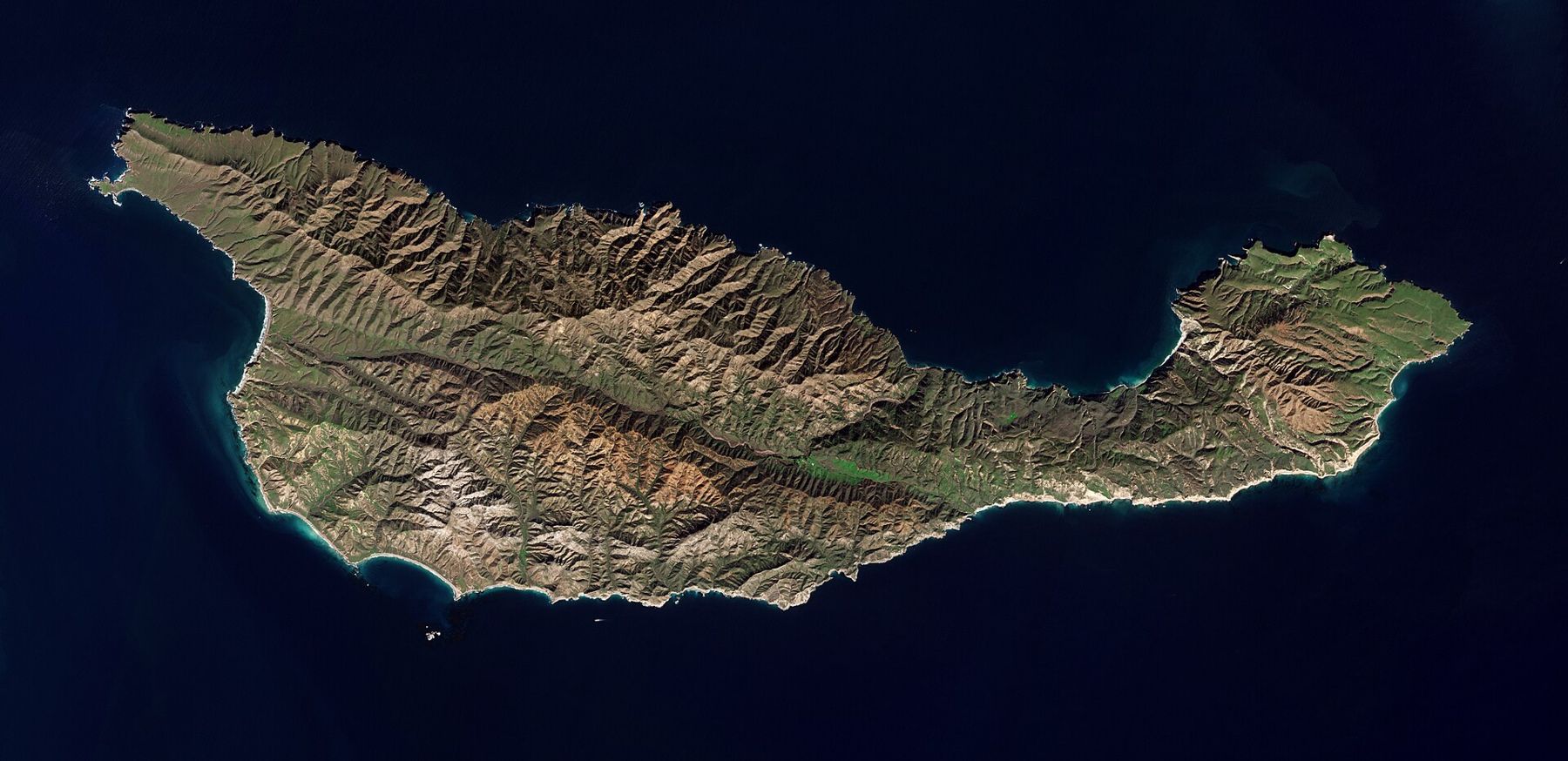
Each island is different. Anacapa is really three narrow islets, a thin ridge of volcanic rock with a lighthouse and a famous natural arch at its eastern tip. Santa Cruz is the largest island in California, with mountains, valleys, sea caves and a long ranching history. Santa Rosa has grasslands, beaches and a grove of rare Torrey pines. San Miguel, the farthest west, is windswept and remote, with huge colonies of seals and sea lions. Santa Barbara Island is tiny and covered with seabirds.
Isolation shaped them all. Separated from the mainland for a very long time, the islands developed plants and animals found nowhere else on earth, and the park is sometimes called the Galápagos of North America. Pygmy mammoths once lived on the northern islands, descended from mammoths that swam across when sea levels were lower.
People came early too. Human remains found on Santa Rosa Island are among the oldest known in North America, roughly thirteen thousand years old. For thousands of years the Chumash lived on the northern islands in large villages, fishing, trading shell-bead money with the mainland and crossing the channel in the tomol, a canoe of planks sewn together and sealed with tar. The Chumash name for Santa Cruz Island is Limuw. In recent years Chumash paddlers have revived the crossing by tomol, landing on the island to a welcome from their community.
Getting across
Most visitors cross on the park's authorized concession boats, which sail from Ventura Harbor and from Channel Islands Harbor in Oxnard, about forty minutes' to an hour's drive south of Santa Barbara. Departures from the Santa Barbara harbor itself have been offered at various times, but schedules change, and Ventura remains the main gateway. Private boats, kayak outfitters and small planes to Santa Rosa Island have also operated. Check what is running before you plan.
The crossing to Santa Cruz Island takes about an hour on a calm day. It is part of the trip. Dolphins often run alongside the boats, sometimes in herds of hundreds. In winter and spring, gray whales pass on their migration, and in summer, blue and humpback whales feed in the channel. Many crossings feel like a free whale watch.
The channel can also be rough, especially in the afternoon when the wind picks up. If you are prone to seasickness, take precautions before boarding. Trips are sometimes canceled or landings changed because of weather and swell, and that cannot be helped. Have a backup day if you can.
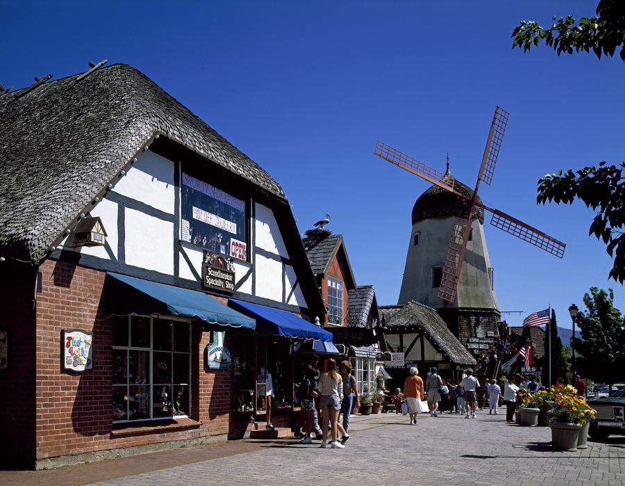
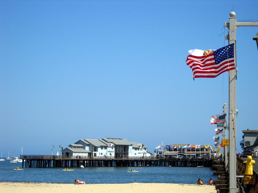 Also on Presidio PostStearns Wharf, end to end
Scorpion Anchorage on Santa Cruz Island
The most popular landing in the park is Scorpion Anchorage, on the eastern end of Santa Cruz Island. The boat ties up at a small pier in a cove, and visitors climb up onto the island beside the old buildings of Scorpion Ranch, a reminder that the island was a sheep and cattle ranch for well over a century. A short walk inland leads up a shady canyon to the campground.
From Scorpion, trails fan out across the eastern end of the island. Cavern Point, a short loop above the cove, looks down on sea caves and offers a good chance of seeing whales offshore. Potato Harbor, a few miles away along the bluffs, is a perfect oval cove beneath high cliffs. Smugglers Cove, across the island, is a longer walk to a quiet, cobbled beach with old olive and eucalyptus groves.
The shoreline itself is the other attraction. Santa Cruz Island has some of the most spectacular sea caves on the West Coast, including Painted Cave on the north shore, one of the largest and deepest sea caves in the world. Kayak tours from Scorpion explore the caves near the landing, and the clear water and kelp forests below make the island a popular place for snorkeling and diving.
The eastern quarter of Santa Cruz Island belongs to the National Park Service. The western three-quarters is owned by The Nature Conservancy and is open to the public only in limited ways.
The island fox
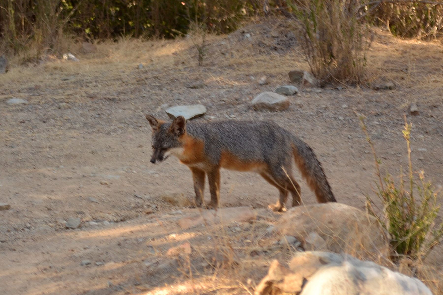
Walk the trails at Scorpion and you may meet the island's most famous resident. The island fox is a tiny gray-and-rust fox, about the size of a house cat, found only on six of the Channel Islands, with a separate subspecies on each. It is the smallest fox in North America, and it is unafraid of people.
The foxes nearly vanished. In the 1990s, golden eagles, drawn to the islands by feral pigs, began preying on the foxes, and on some islands their numbers fell to a few dozen. The response was one of the great conservation efforts of recent times: captive breeding, the relocation of the golden eagles, the removal of the feral pigs, and the return of bald eagles, which eat fish rather than foxes. By 2016, the foxes of the northern islands had recovered enough to be removed from the endangered species list, one of the fastest recoveries of any mammal under the law.
Santa Cruz Island also has a bird found nowhere else: the island scrub-jay, larger and brighter blue than its mainland cousin. Listen for its harsh call in the oak woods.
Once you have been, the islands look different from shore.
Camping and what to bring
There are campgrounds on each island in the park, and Scorpion is the most accessible. Reservations are required, and camping means carrying all your gear from the boat, sometimes a fair distance. Food must go into the fox-proof storage boxes provided at campsites; the foxes, and the island ravens, are expert thieves, and a fed fox is a fox in trouble.
The rule on the islands is simple: there is nothing to buy. Bring food and more water than you think you need, plus sunscreen, a hat and layers, because the weather on the islands can swing from fog and wind to hot sun in an hour. Wear sturdy shoes for rough trails. Carry a bag for trash, because everything you bring must leave with you.
Stay on the trails. The islands' plants have spent years recovering from grazing, and many are fragile. Give seals and sea lions plenty of room on the beaches, and do not approach or feed the foxes, however tame they seem.
Anacapa needs a word of warning. Landing there means climbing more than a hundred and fifty steps up from the cove, and in spring and early summer the island is home to a vast colony of nesting western gulls. The noise, and the smell, are impressive. So is the view from Inspiration Point at the end of the island trail.
Coming back
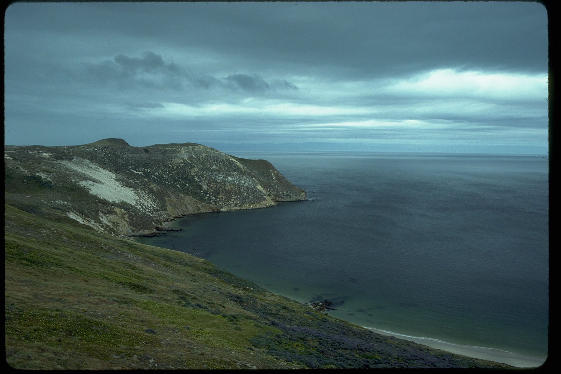
The boat home leaves in the afternoon, and the crossing back is often a little rougher, the wind having risen during the day. Sit on deck if you can. As the islands shrink behind you, the mainland grows ahead, the Santa Ynez Mountains rising above the haze, and the city appears as a pale strip at their feet.
Once you have been, the islands look different from shore. The next clear evening in Santa Barbara, standing at the tide pools or at the end of the wharf, you will look out at that low gray line on the horizon and know what is there: the cove at Scorpion, the cliffs, the caves, and a small fox trotting down a dirt road in the last of the light.