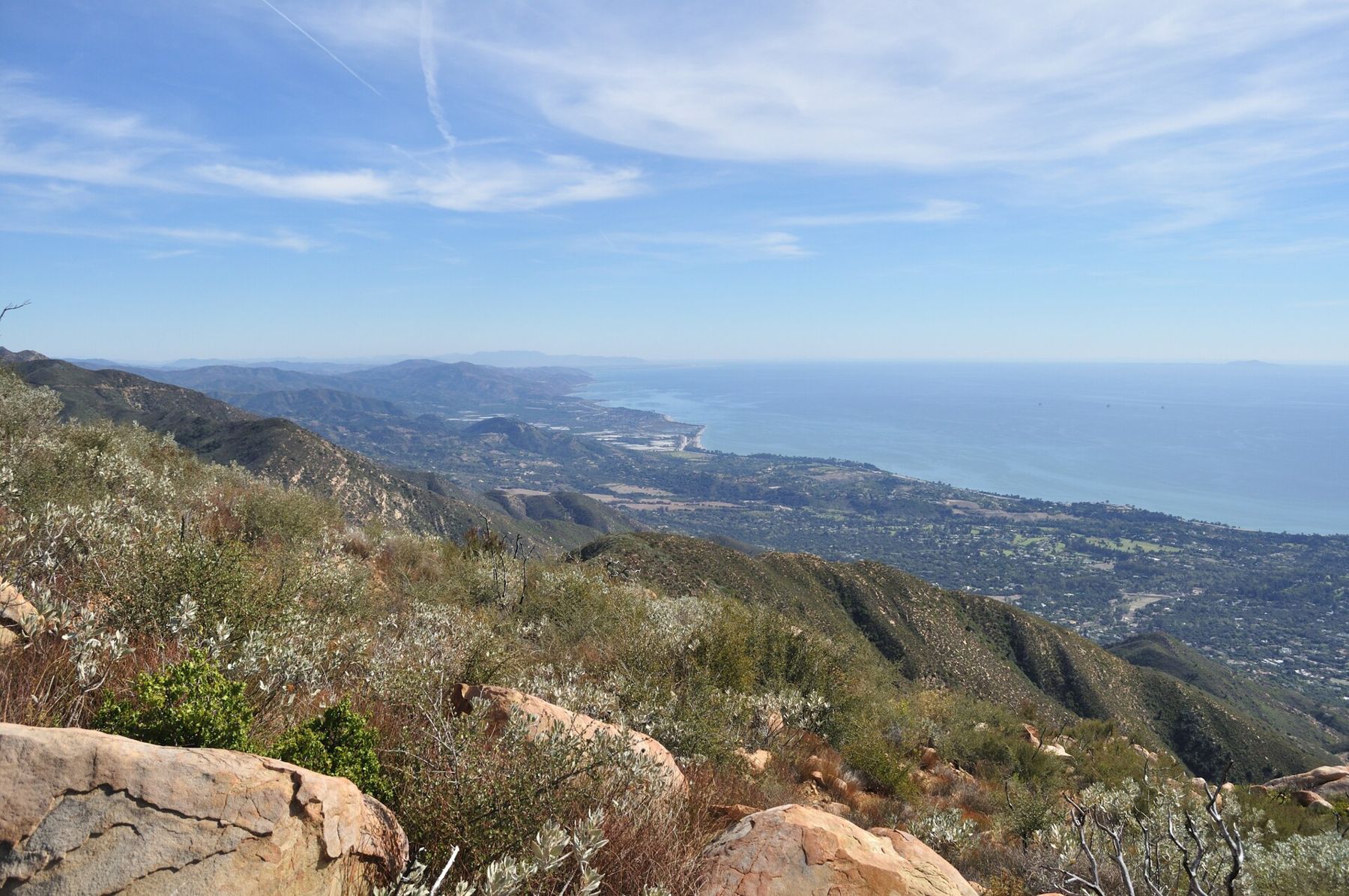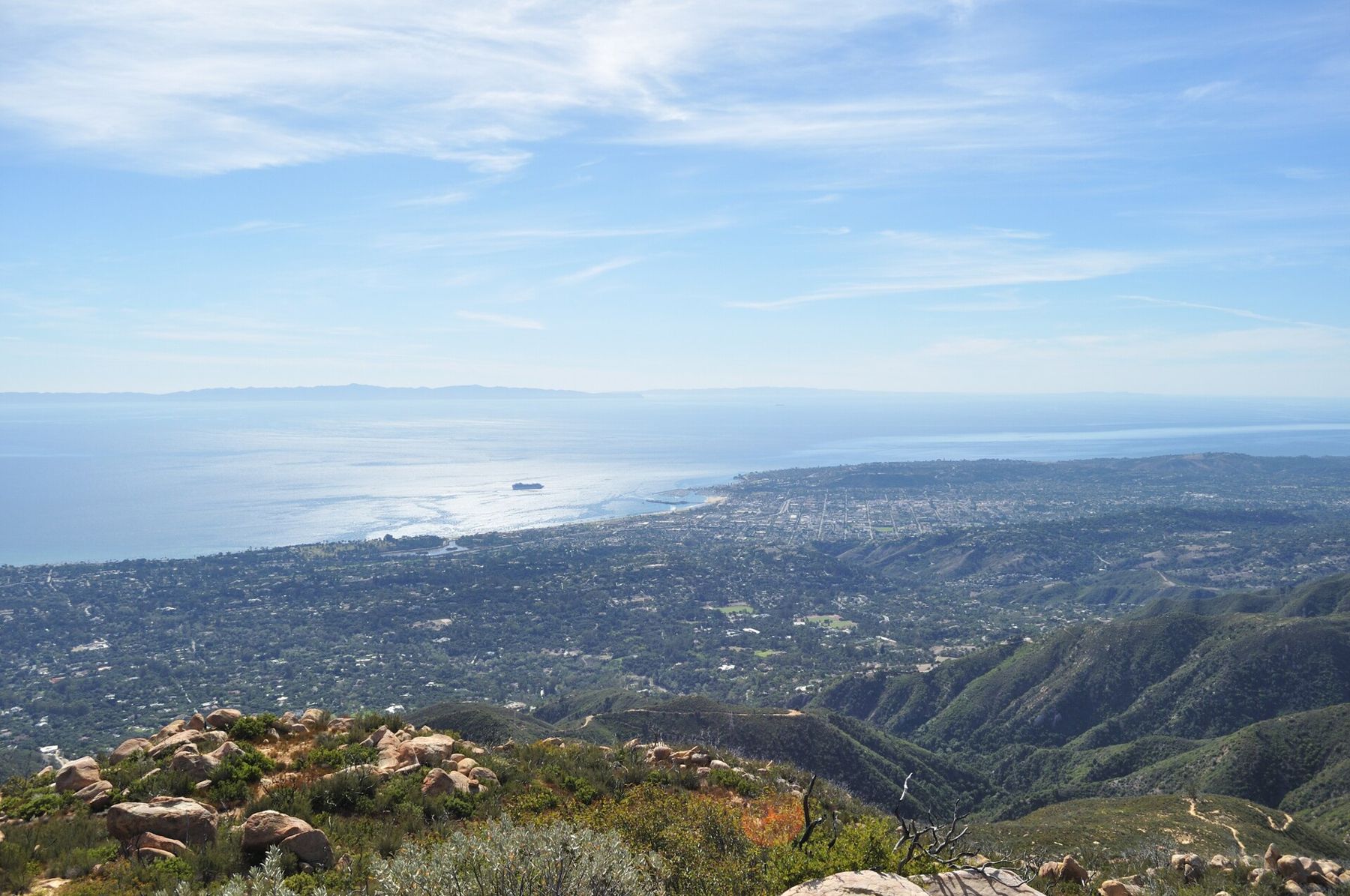
From the courthouse tower, the mountains look like a backdrop. They are not. The Santa Ynez Mountains rise more than three thousand feet in a few miles from the edge of the city, and the trails that climb them start at the end of residential streets. Within half an hour of leaving a car, you can stand on bare sandstone above the chaparral, with the city, the harbor and the Channel Islands laid out below.
Locals call this the front country: the south face of the range, between the foothills and the long crest road, East Camino Cielo. Its trails follow creeks up steep canyons, cross sunny ridges, and connect in a web that can fill years of weekends. Here are seven of the best, with notes on the conditions that matter. Distances are approximate, and trails change after every fire and storm.
Inspiration Point
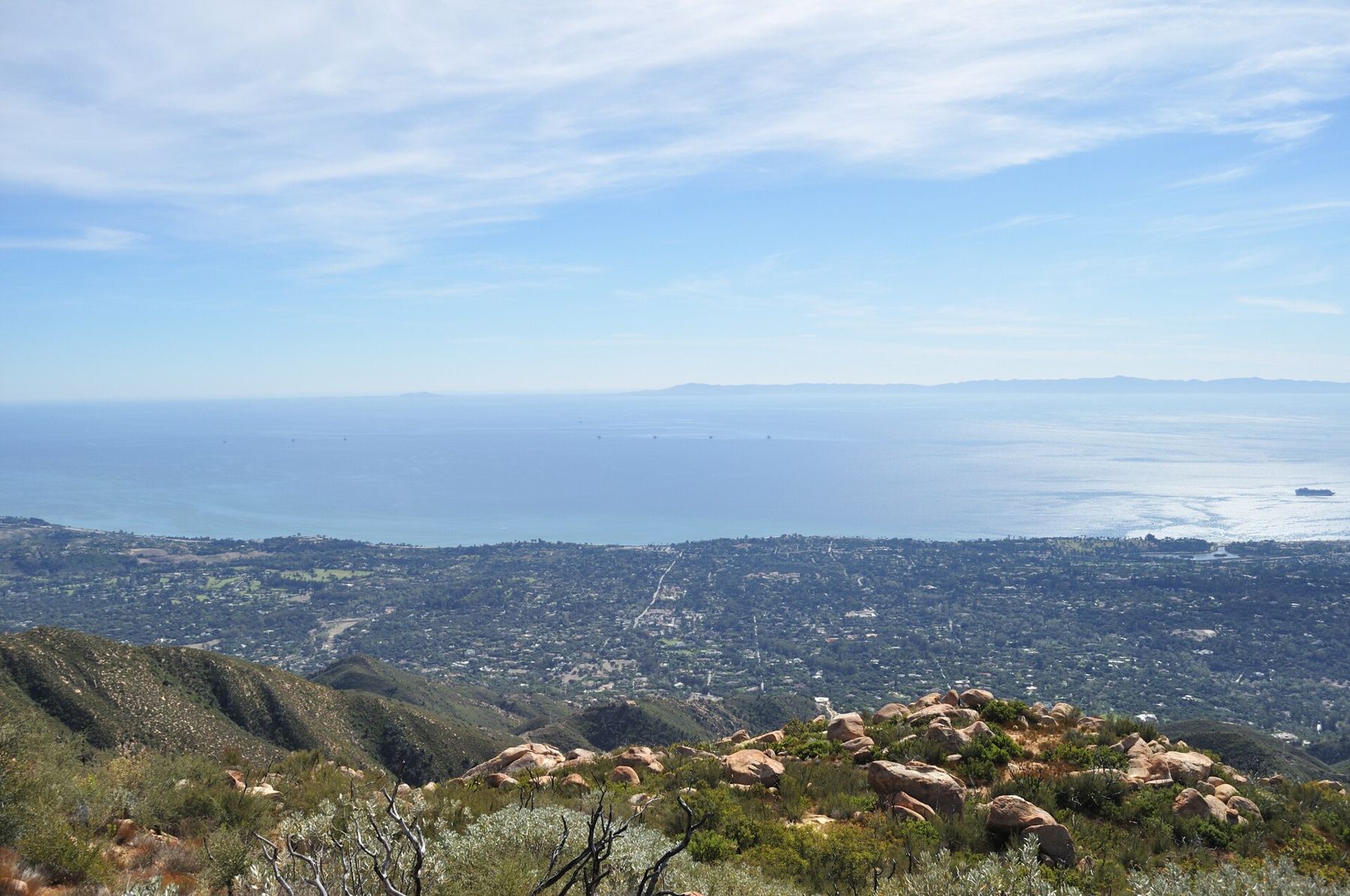
The classic first hike. From the Tunnel Road trailhead at the top of Mission Canyon, above the Mission, follow a paved service road uphill, then turn onto the Jesusita Trail, which climbs over sandstone and through chaparral to a rocky knoll with a sweeping view of the city and coast.
The round trip is roughly three and a half to four miles, with about eight hundred feet of climbing. There is little shade, so start early on warm days. On clear winter mornings, the islands look close enough to touch. The trail is popular, and the small parking area on Tunnel Road fills quickly, especially on weekends. When it is full, parking farther down the road is often allowed, but follow posted restrictions, which change.
Seven Falls
From the same Tunnel Road trailhead, a side route drops into the bed of Mission Creek and works upstream through a narrow canyon of sandstone pools and small waterfalls. After good rains, the creek runs clear and loud, and the pools below the falls are deep enough for a cold dip.
This is not a groomed trail. Reaching the falls involves boulder-hopping, scrambling and sometimes wading, and the rock is slick. Rescues here are not unusual, so wear shoes with good grip, do not climb wet rock you cannot get down again, and turn back if the creek is high. In dry months the falls dwindle to a trickle. Go a few days after a winter storm, never during one.
Rattlesnake Canyon
The trail starts at a stone bridge on Las Canoas Road, near Skofield Park, and follows a creek up a wooded canyon owned by the city as a wilderness park. Sycamores and oaks shade the lower part, and the creek has pools and small cascades in the wet months.
The trail climbs steadily to an open grassy area called Tin Can Meadow, about two miles up, a natural turnaround with views over the city. Strong hikers can continue to connect with the Tunnel Trail and loop back toward Mission Canyon.
Yes, there are rattlesnakes here, as there are throughout the front country. Shade and water make this canyon popular, so start early to find parking along the road and to beat the heat.
Cold Spring Trail
In Montecito, the Cold Spring Trail begins where Mountain Drive crosses Cold Spring Creek. The East Fork follows the creek upstream past pools and small falls under alders and sycamores, one of the shadiest walks in the front country, and a fine short outing in its own right.
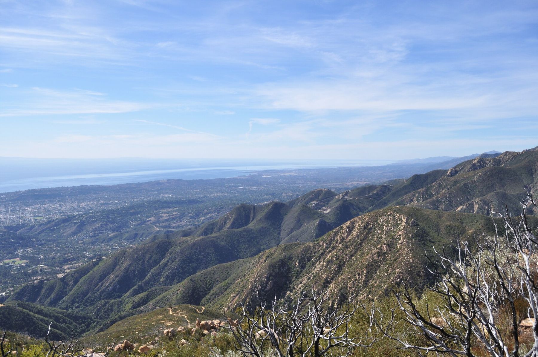
Above the creek, the trail turns and climbs in earnest, switchbacking up the open mountainside toward Montecito Peak and, eventually, East Camino Cielo on the crest. The creek section is gentle; the climb above it is steep, sunny and serious. Parking at the trailhead is limited to the road shoulder, and neighbors in Montecito appreciate hikers who park legally and quietly.
 Also on Presidio PostSanta Barbara for free
Montecito Peak
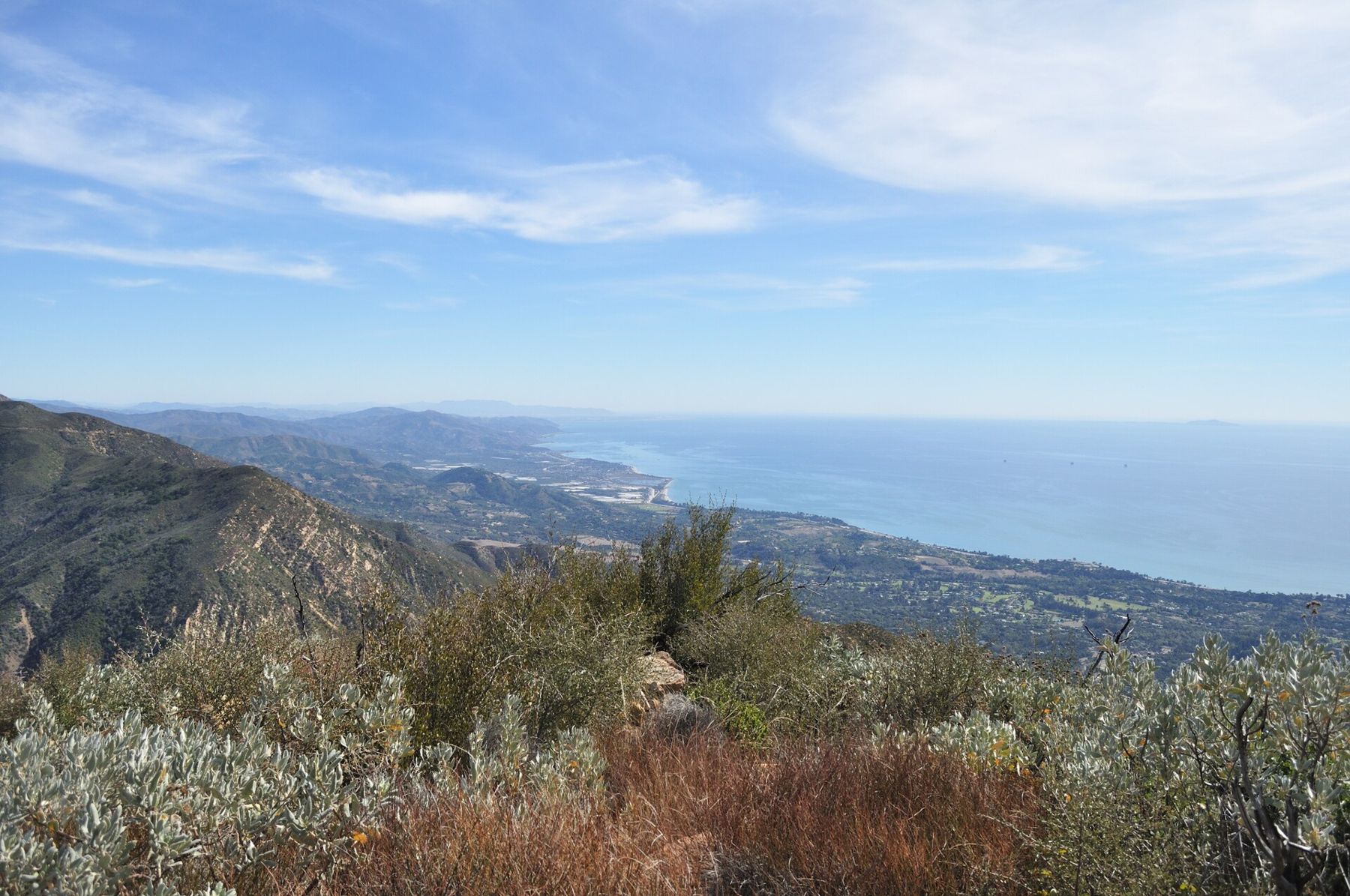
The summit of Montecito Peak, at 3,214 feet, is a rocky perch with one of the best views on the coast: the whole sweep of Santa Barbara, Montecito and Carpinteria, the islands offshore, and the backcountry ridges behind. Most hikers reach it from the Cold Spring Trail, leaving the main trail near the top for a short, steep use path to the summit.
The round trip is about seven miles, with roughly 2,500 feet of climbing, much of it exposed to full sun. It is a demanding hike. Start early, carry plenty of water and food, and save it for a cool, clear day, when the views reach farthest. In summer, the climb can be dangerously hot by midmorning.
San Ysidro Canyon
From Park Lane in Montecito, the San Ysidro Trail follows its creek up a canyon to a tall waterfall that runs in the wet season, then continues steeply toward the crest. The lower canyon was reshaped by the debris flows of January 2018, which swept through after the Thomas Fire, and trail work since then has changed the route in places.
It is one of the most popular hikes in Montecito, with boulders and pools along the creek and a sense of being deep in the mountains within a mile of houses. The route to the falls is a moderate few miles round trip. Respect closures here: after heavy rain, flash flooding and rockfall are real dangers in these steep canyons.
Romero Canyon
East of San Ysidro, Romero Canyon offers a longer loop. From Bella Vista Drive, a trail climbs along the creek and then joins an old dirt road that winds up the mountainside, making a loop of roughly six miles. The road section is wide, steady and exposed, and the single-track section along the creek is shaded and lovely in spring.
Romero is quieter than the canyons to the west, and good for a long, steady workout. Like its neighbors, it was damaged by fire and debris flows, and closures for repairs have come and gone. Check before you set out.
Heat, water and rattlesnakes
The front country faces south, into the sun, and much of it is covered in low chaparral with little shade. Even when the coast is cool and foggy, the trails above it can be very hot. The safest seasons are late autumn through spring; in summer, hike at dawn or not at all, and beware of autumn heat waves, when offshore winds bring the hottest days of the year.
Carry plenty of water. There is none to rely on along the trails, and the creeks are not safe to drink without treatment. Rattlesnakes are common in warm weather, often sunning on the trail or resting under rocks. Watch where you step and where you put your hands, give any snake a wide berth, and keep dogs leashed. Poison oak grows along most creeks; learn its glossy three-leaf clusters.
Fire, rain and closures
These mountains burn. The Tea, Jesusita and Thomas fires all swept the front country in recent decades, and each changed trails for years. In high fire danger, trails and roads in the Los Padres National Forest may close. Winter storms bring their own closures, from washouts to rockfall to flooding creeks, and burn scars make floods worse.
Before any hike, check for current closures and conditions. Tell someone where you are going. Bring a phone, but do not count on a signal in the canyons. And check the weather the night before: a winter morning after rain, with snow on the high peaks and the islands sharp on the horizon, is the best hiking day of the year.