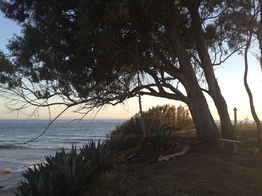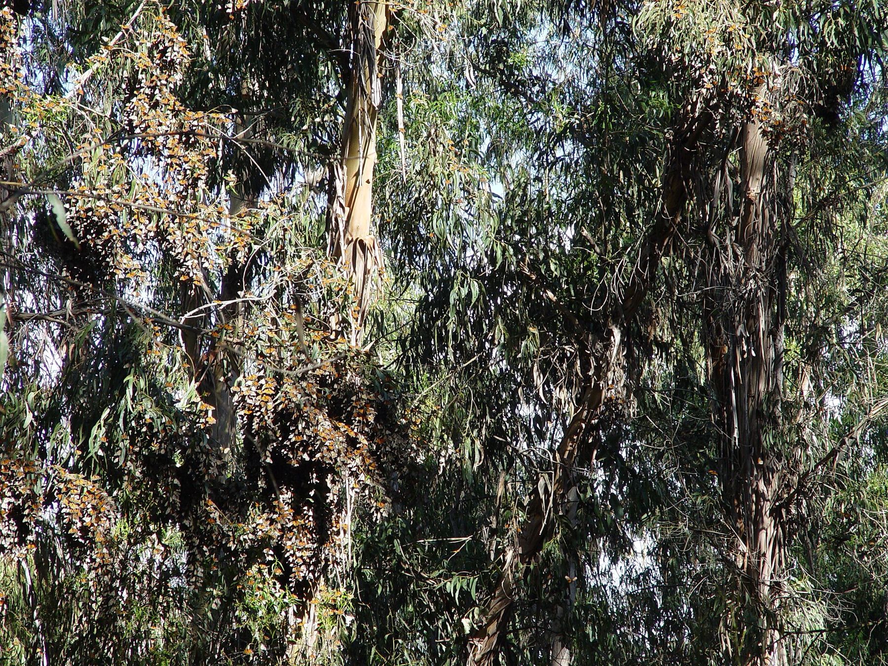
- Santa Barbara Shores trailheadStart on the open mesa, mountains behind you
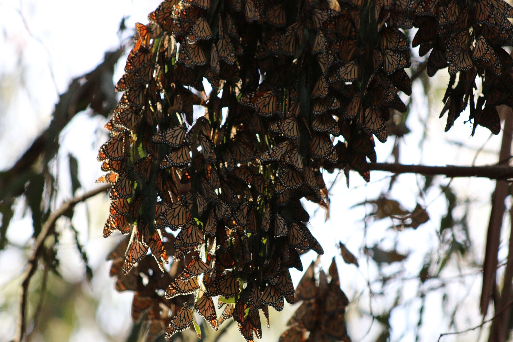
- Ellwood monarch groveWinter roost in the eucalyptus along the creek
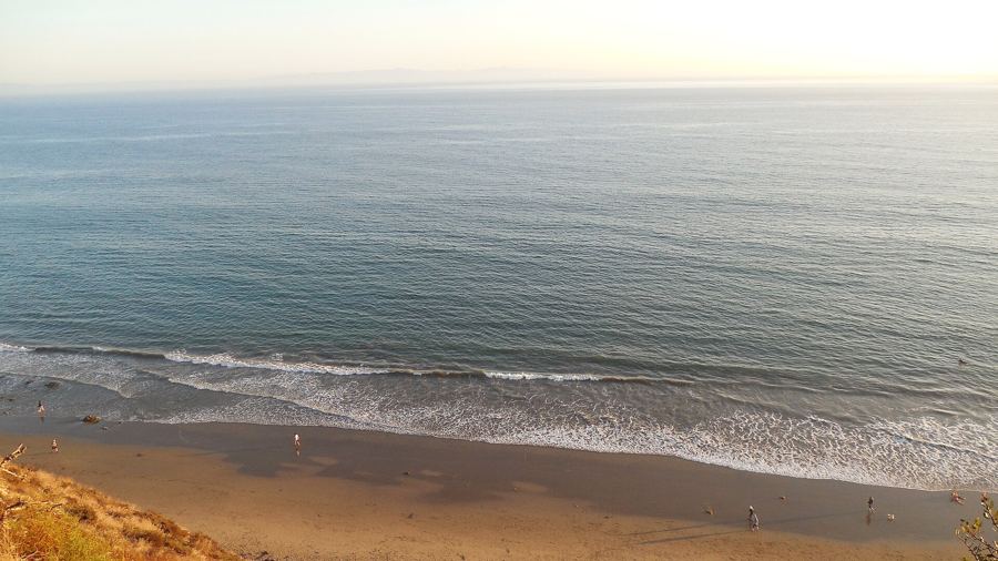
- Ellwood bluffsCliff-top path above the sea, islands in view
- Sands BeachWide sand, snowy plovers, stay outside the ropes
- Coal Oil PointRocky point, natural oil seeps offshore
- Devereux SloughSeasonal lagoon full of birds in winter
- Coronado Butterfly PreserveSmall preserve, second grove, path back west
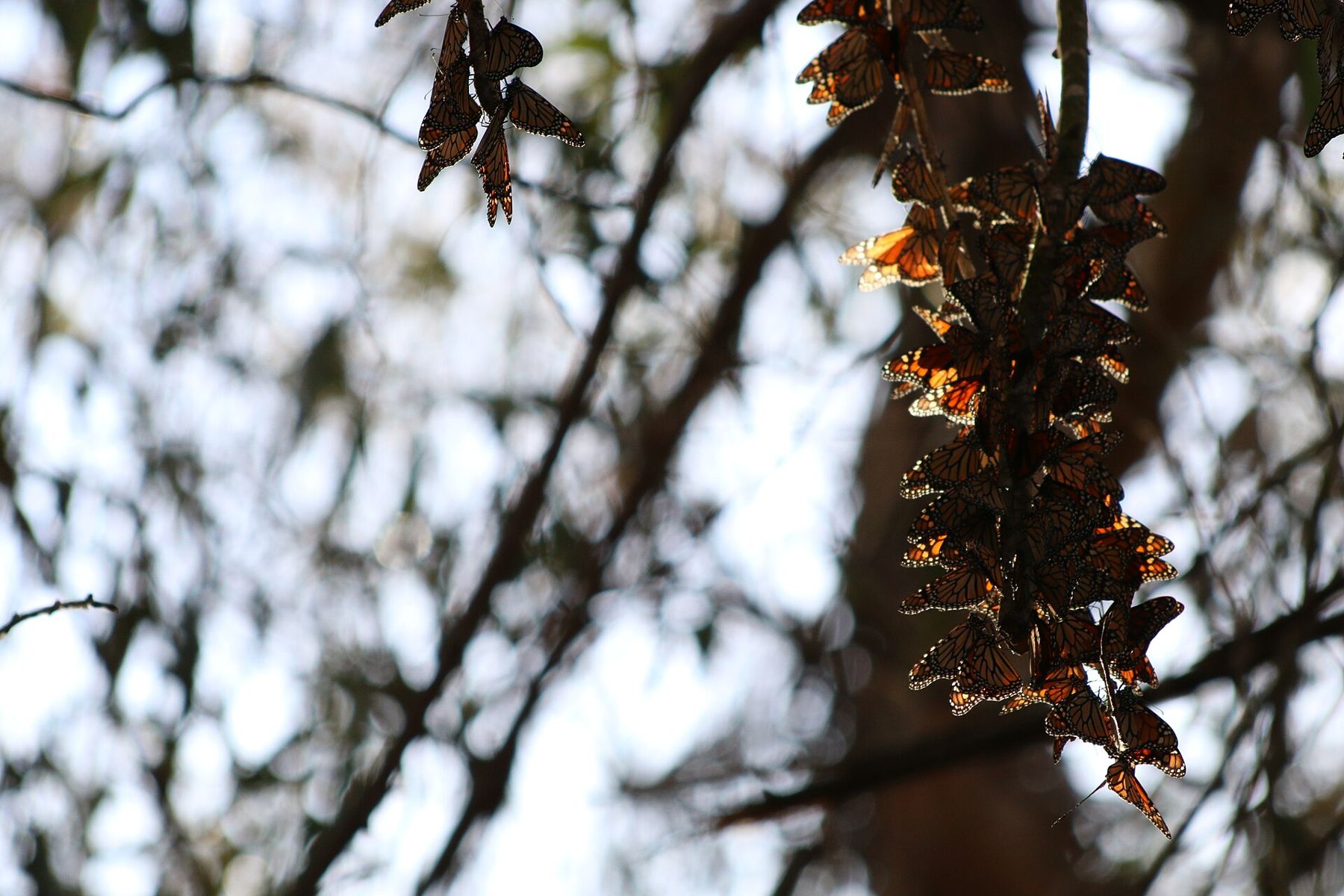
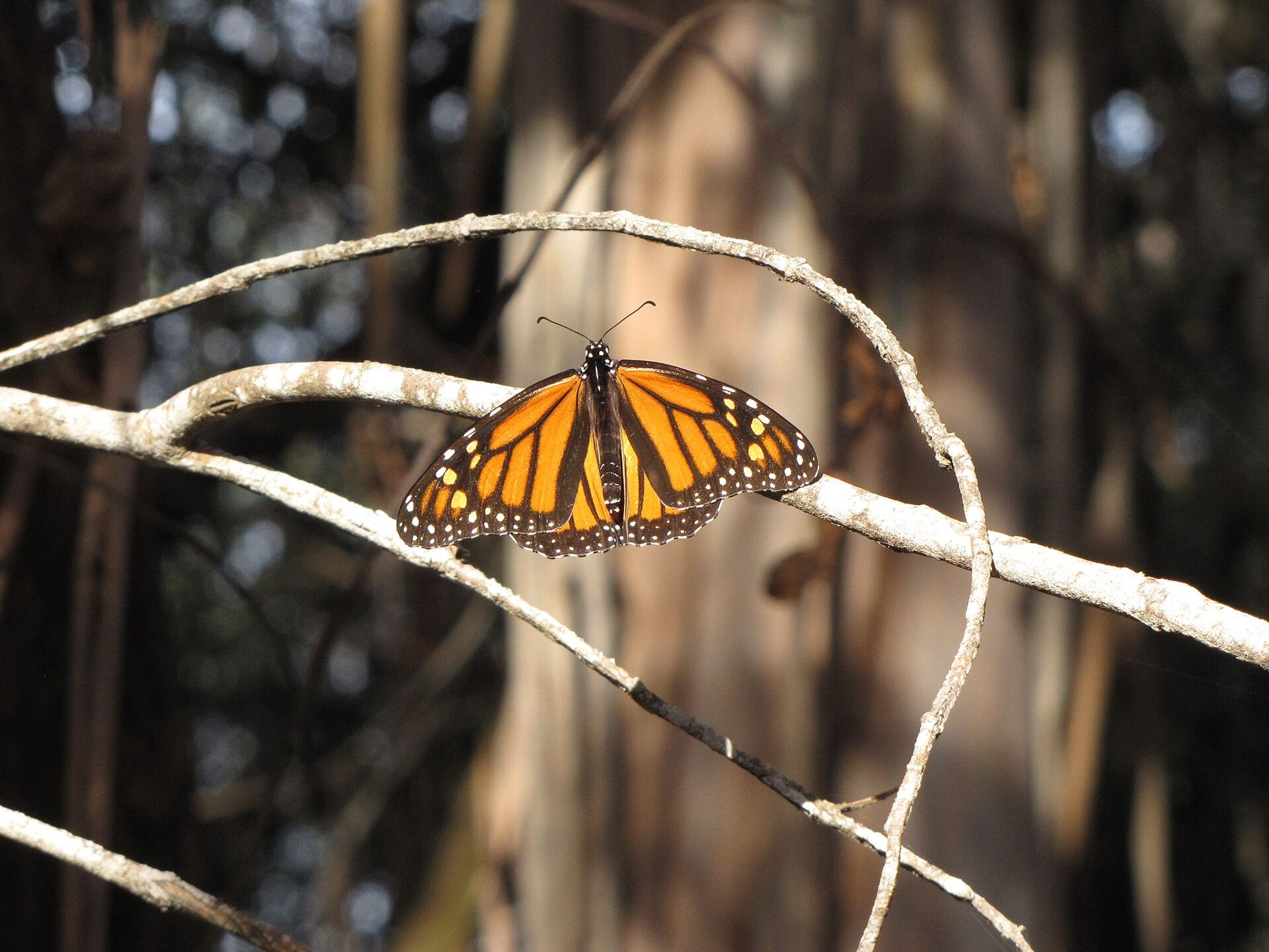
On a cold December morning the monarchs look like dead leaves. They hang from the eucalyptus in long, dull clusters, wings folded, so still that most people walk under them without looking up. Then the sun reaches the grove. One cluster shivers. A few butterflies drop and open, orange against the gray-green trees, and within half an hour the air in the clearing is full of them, drifting and settling in the light.
The Ellwood Mesa, on the western edge of Goleta, is one of the best places in California to see this, and the grove is only the start. A flat walk across the mesa links it to the ocean bluffs, a wide sandy beach, a rocky point over natural oil seeps and a seasonal lagoon full of birds. Most of it is open grassland and coastal scrub, owned and kept as open space, with the Santa Ynez Mountains behind it and the Channel Islands ahead. The walk below makes a loop of roughly four miles.
Santa Barbara Shores trailhead
Begin at the trailhead at the end of Santa Barbara Shores Drive, south of Hollister Avenue. From here the mesa opens out ahead of you, a wide, rolling plain of grass and scrub laced with dirt paths, and at your back the mountains rise above Goleta. In winter the grass is green after rain; by late summer it is the color of straw. Paths go in every direction. Take the broad trail heading south and slightly east toward the line of tall eucalyptus; the grove is in that dark band of trees, along a shallow creek.
The trees are older than the town around them. In the late nineteenth century Ellwood Cooper, a rancher who gave this corner of Goleta its name, planted eucalyptus here by the thousand, and their descendants now shelter the butterflies.
Ellwood monarch grove
Western monarchs, the population that lives west of the Rocky Mountains, spend the winter along the California coast. They begin arriving in October and November, gather in groves that offer shelter from wind and frost, and stay until the warmth of late winter sends them inland to breed. At Ellwood they cluster on the eucalyptus in a sheltered hollow along the creek, often high up, where a cluster can look like nothing more than a heavy branch.
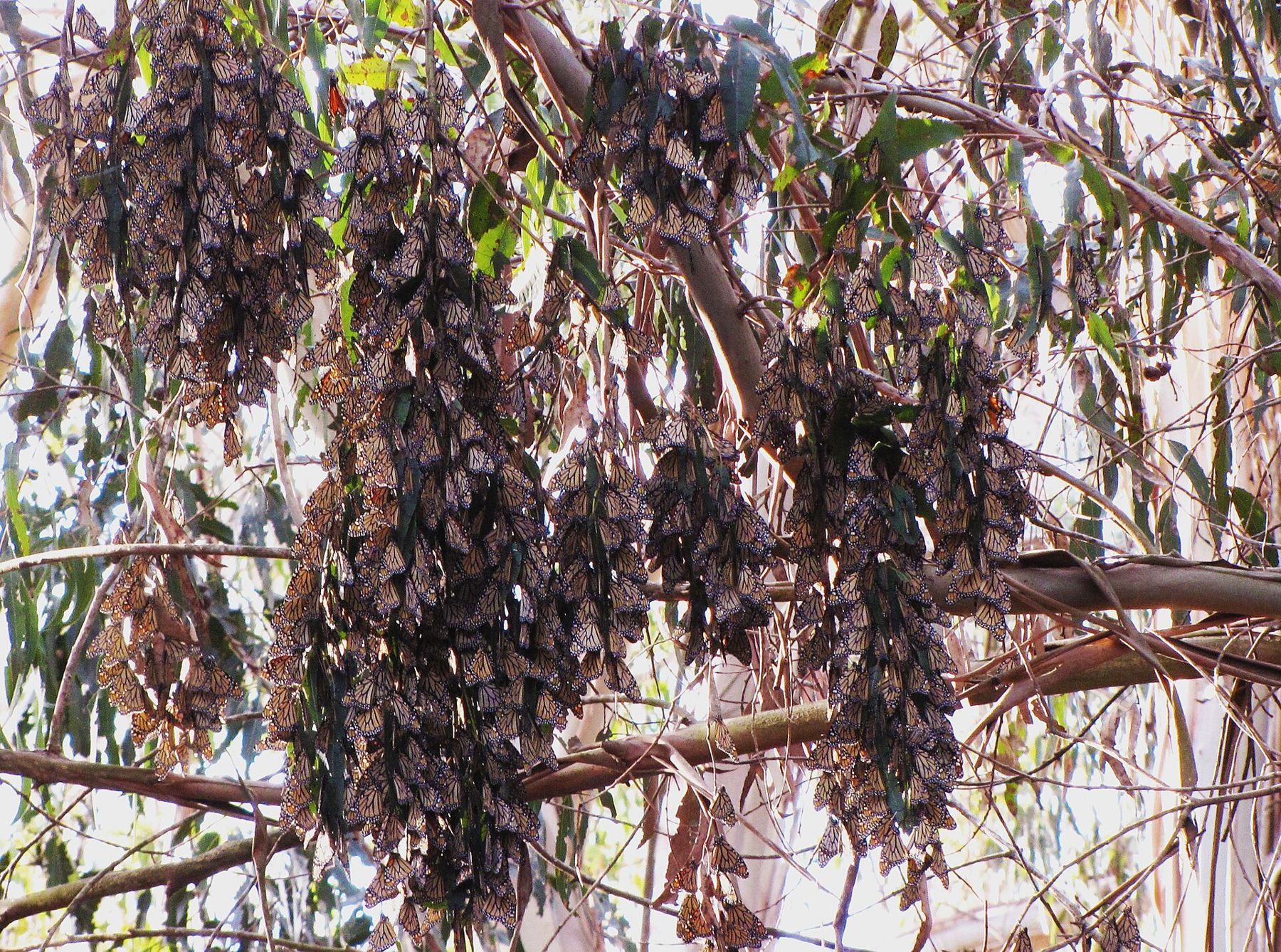
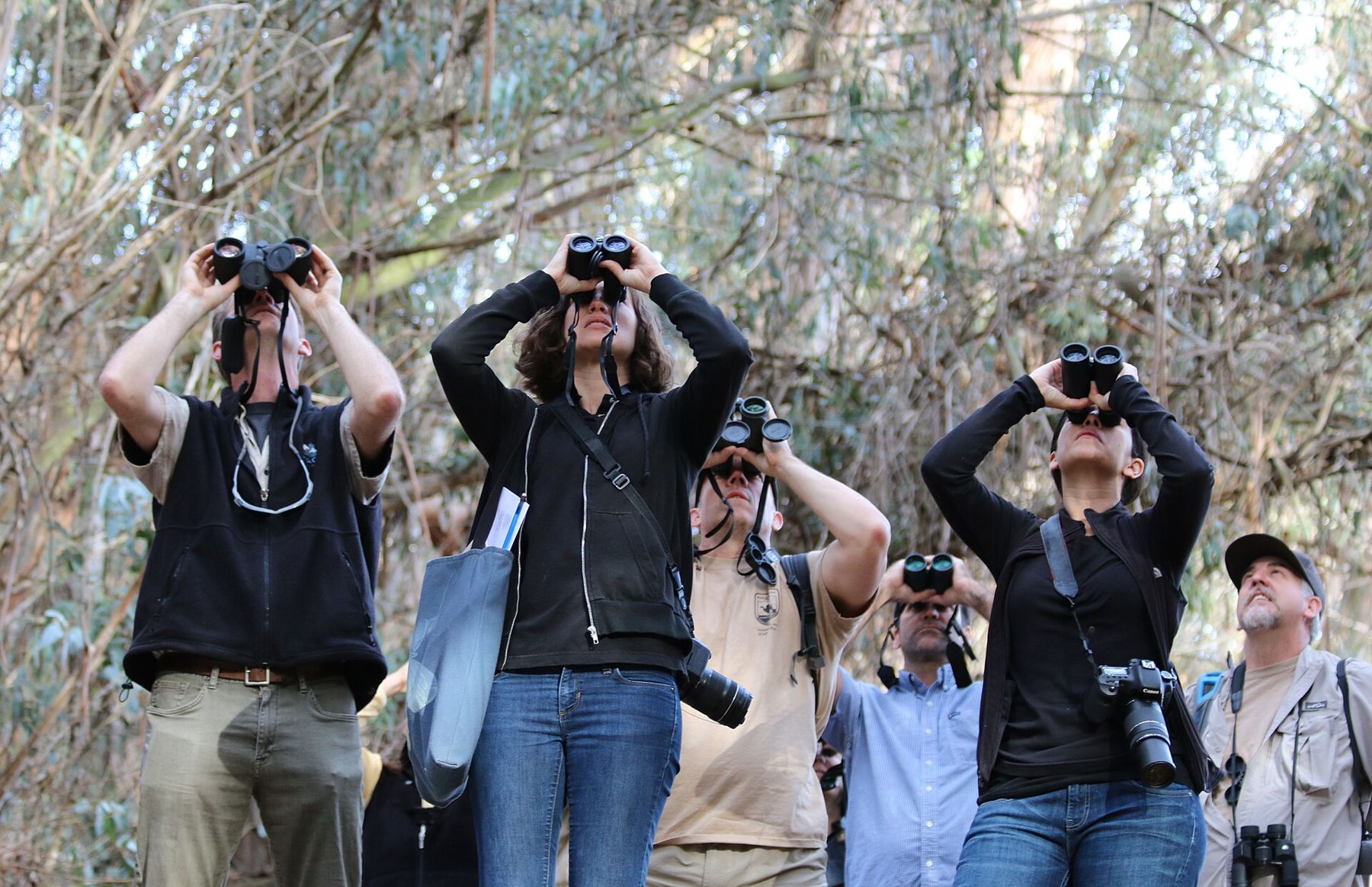
Come on a sunny day after the morning has warmed. In the cold, the butterflies stay clustered and still; above about the mid-fifties Fahrenheit, they start to fly. On a warm afternoon in midwinter, they can fill the clearing. A pair of binoculars makes all the difference, as does a little patience. Do not touch the butterflies or shake the branches; a monarch knocked to the cold ground in the morning may not be able to climb back.
The numbers are anything but steady. Counts across the West have swung wildly in recent years, down to a few thousand butterflies in some winters and up into the hundreds of thousands in others, and the grove can be busy one year and quiet the next. The aging trees bring their own problems; parts of the grove have been closed at times for tree safety work. Follow the signs and stay on the paths.
Ellwood bluffs
From the grove, follow the creek trail south to where the land ends. The Ellwood bluffs are a long, level cliff top above the sea, with a footpath running along the edge, views across the channel to Santa Cruz Island, and the ocean breaking on rock and sand below. On a clear winter day you can see whales blowing offshore; there is more on that in our piece on whales in the channel.
This quiet stretch of coast has one strange date in its history. On the evening of February 23, 1942, a Japanese submarine surfaced offshore and shelled the Ellwood oil field, which then lined this coast. The damage was slight, but it was the first attack by an enemy ship on the American mainland in the Second World War. The oil works are long gone, and the bluffs have gone back to grass and hawks.
Keep well back from the edge. The bluffs are soft sandstone and mudstone, and they crumble.
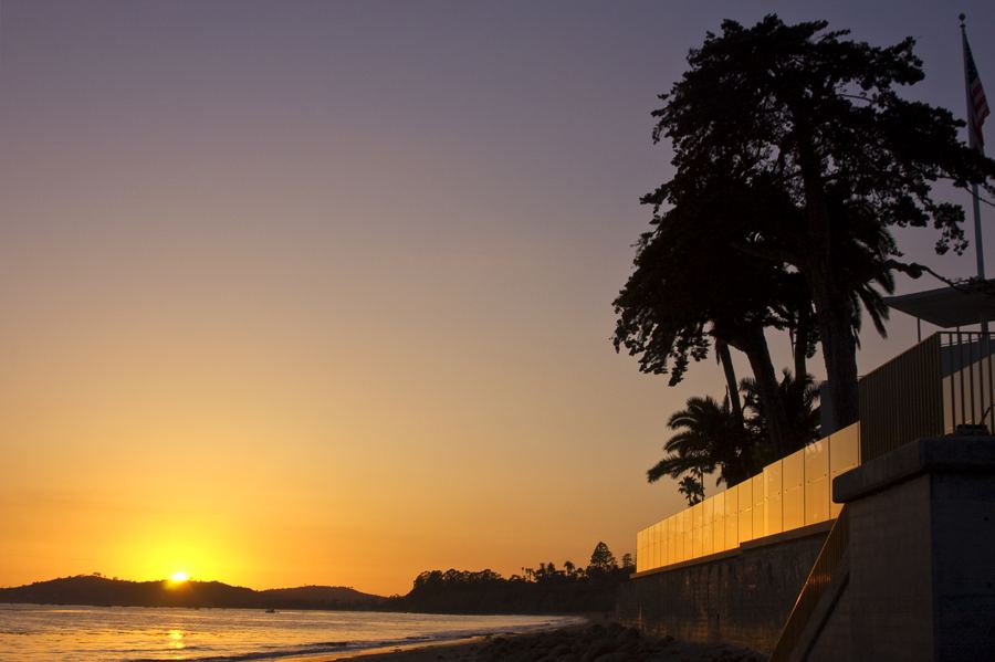 Also on Presidio PostWhere to watch the sun go down
Sands Beach
Walk east along the bluffs until a path drops down to the beach, and follow the sand east. This is Sands Beach, a wide, gently curving strand that ends at Coal Oil Point. Much of the upper beach is fenced with low rope: it is a roosting and nesting ground for the western snowy plover, a small, pale shorebird, threatened along the Pacific coast, that nests in shallow scrapes in the open sand. In winter the birds gather here in flocks, hunkered in footprints and hollows out of the wind, almost invisible until they move.
Walk the wet sand near the water, stay outside the ropes and keep any dog on a leash and well away from the fenced area; the posted rules here are strict. At high tide the beach narrows, so this section is easiest at mid to low tide. Tar on the sand is natural and comes off with baby oil or cooking oil.
Coal Oil Point
At the eastern end of the beach, Coal Oil Point juts into the sea, part of a natural reserve run by the University of California. Offshore lie some of the most active natural oil seeps in the world, and on calm days you may see sheens on the water, smell the oil in the air, or find tar balls along the tide line. The Chumash used the tar to seal their plank canoes. At low tide the reef below the point uncovers, with pools that hold anemones, crabs and snails; our guide to tide pools has more on reading the tide and what to look for.
The point is a good place to stop and look back west along the curve of Sands Beach and the bluffs you have just walked.
Devereux Slough
Just inland of the point lies Devereux Slough, a seasonal coastal lagoon. For much of the year a berm of sand closes its mouth, and the water sits still and shallow; after heavy winter rains it can break through to the sea. In winter it fills with birds: egrets and herons stalking the edges, ducks on the open water, shorebirds probing the mud. Upstream, the university has restored a former golf course to marsh and grassland, widening the wetland. Stay on the paths and give the birds room.
Coronado Butterfly Preserve
From the slough, take the trails north and west back toward the mesa, and look for the Coronado Butterfly Preserve, a small grove and meadow at the eastern edge of the Ellwood open space, protected by the Land Trust for Santa Barbara County. Monarchs cluster here too in some winters, and the preserve is often quieter than the main grove. From here, the paths lead west across the mesa, past the main grove again if you like, and back to the trailhead on Santa Barbara Shores Drive.
The practical part
The loop is roughly four miles and mostly flat, on dirt paths that can be muddy after rain. Allow two to three hours, more if the butterflies are flying. There is parking at the Santa Barbara Shores trailhead and on nearby streets; the Coronado preserve can also be reached from Coronado Drive. Rules on parking, dogs and access are posted and change, so read the signs.
Monarch season runs roughly from late October to February, and the clusters are usually at their fullest in early and midwinter. For the beach, check a tide table and walk Sands Beach at mid to low tide. Bring binoculars, layers for the wind off the water, and water; there are few facilities on the mesa. If you want to know more about the season, our piece on Santa Barbara in winter has the rest of it. And on the walk back across the mesa, look up once more into the eucalyptus. What looks like a cluster of dead leaves may be a thousand butterflies waiting for the sun.